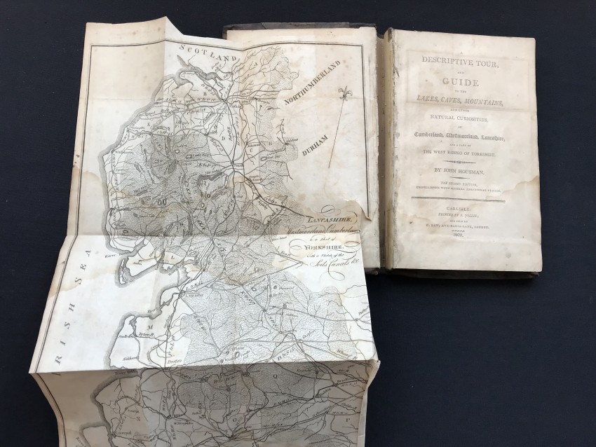

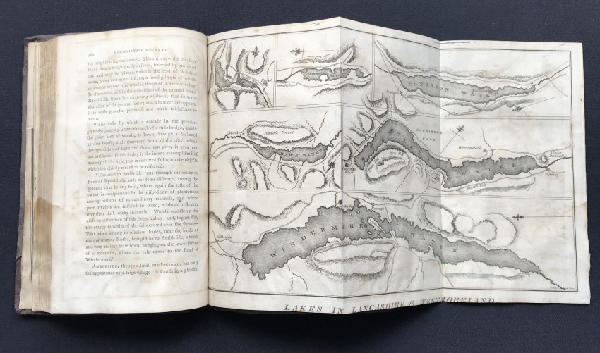


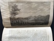
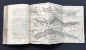
Second edition published 1802 (First - 1800). Three foldout maps, six illustrations and two town plans (all in black and white). Front matter includes: Advertisement, Index, Distances of Places along the Roads, References to the Annexed Map of Soils etc.
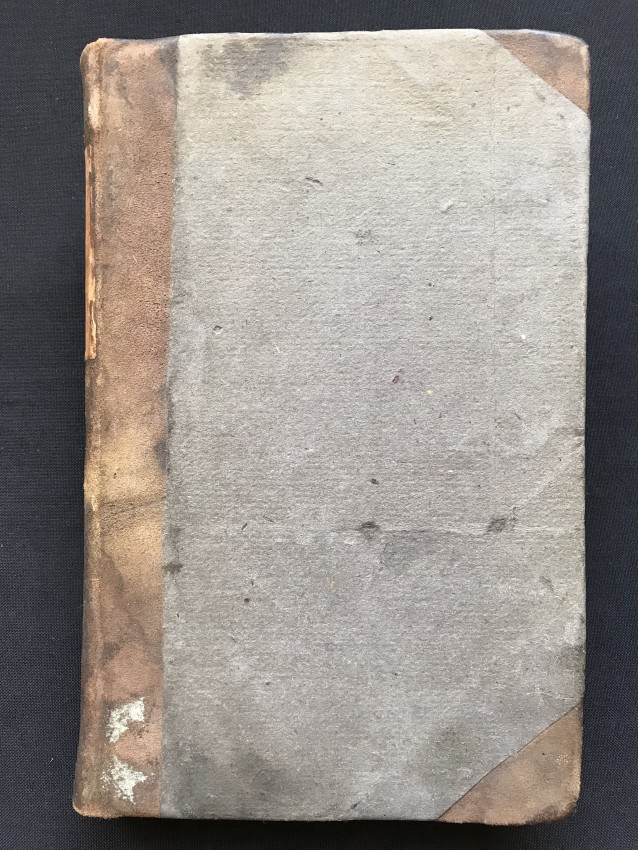
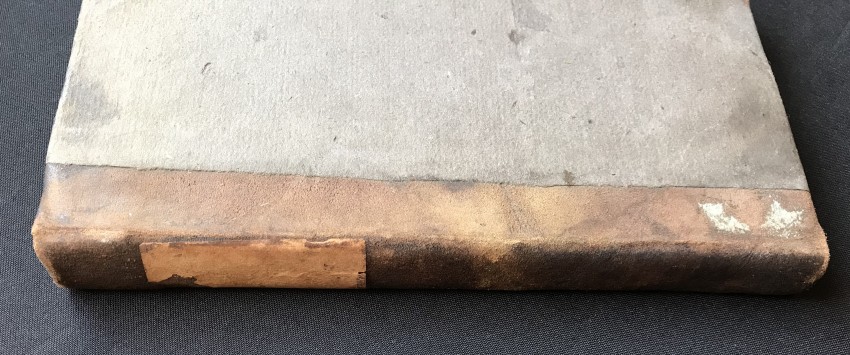
226 pages plus end matter. Original binding – boards and spine intact (Three quarter brown leather and paper sides), with not insignificant wear and rubbing, fair with a split inside front cover, which adds charm to this volume.
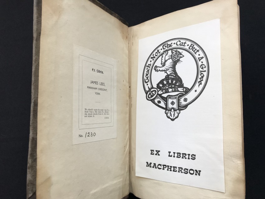
The inside of the front cover is detached from the text block between the first map and the title page. The title page and map are intact. Minimal water damage and markings, as is the wear and tear of more than two centuries.
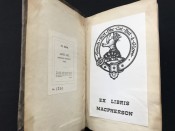
Faded marbling and marks on the edges of the text block. Two ex-libris plates, inside front cover and on first blank page. Previous owner’s name (1860) on second blank page.
- Binding Condition: Fair
- Overall Condition: Fair
- Size: 225 x 140 mm
- Sold By: Bookdealers cc
- Contact Person: Doron Locketz
- Country: South Africa
- Email: [email protected]
- Telephone: 0114407936
- Preferred Payment Methods: EFT, Payfast, Credit Card
- Trade Associations: South African Bookdealers Association


