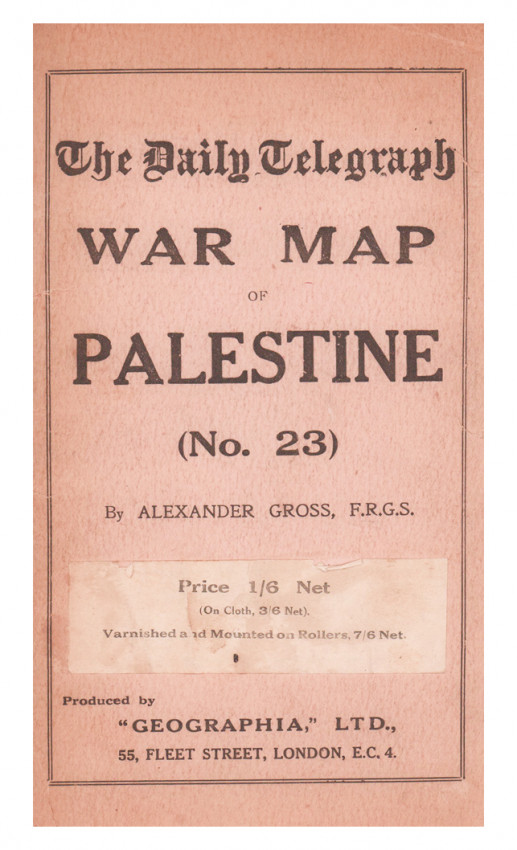

No 23
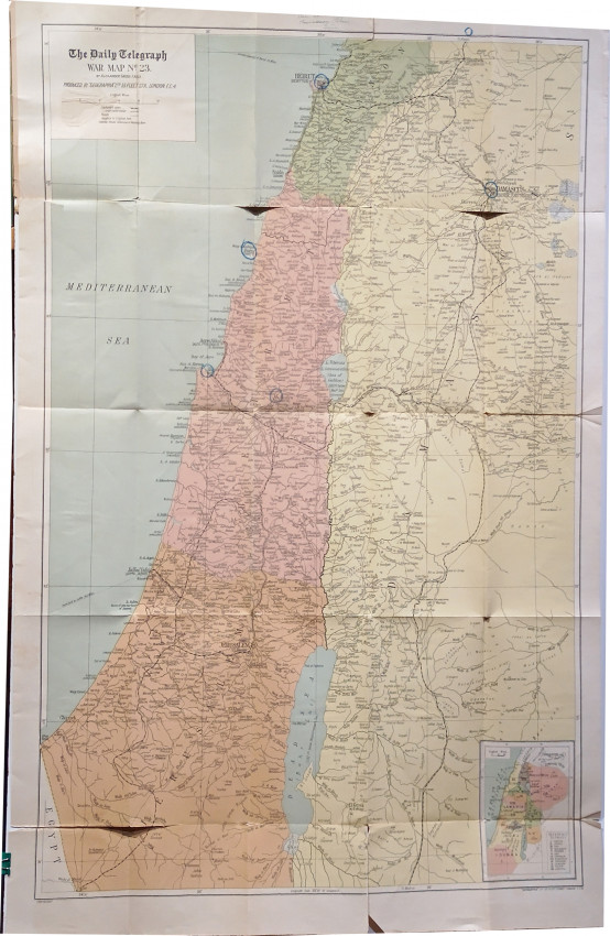
Coloured folding map (880 x580mm) slightly torn at the folds, housed in cream card boards – the front cover is detached, a good copy.
Map of Palestine, extending from Beirut in Lebanon to the Egyptian border. Relief shown by spot heights. Scale 1:250 000. Shows international boundaries, towns, villages, roads, tracks, railways and stations, wadis and rivers. Includes inset map showing tribal areas.
Part of a series of 24 Daily Telegraph War maps
- Overall Condition: A good copy
- Sold By: Clarke's Africana & Rare Books
- Contact Person: Paul Mills
- Country: South Africa
- Email: [email protected]
- Telephone: 021 794 0600
- Preferred Payment Methods: Visa & Mastercard via PayGate secure links and Bank transfers.
- Trade Associations: ABA - ILAB, SABDA


