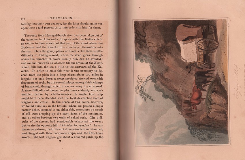
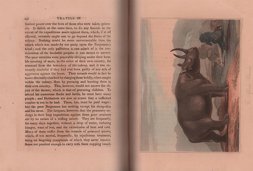


In which are described the character and the condition of the Dutch Colonists of the Cape of Good Hope, and of the several tribes of natives beyond its limits: The natural history of such subjects as occurred in the animal, mineral, and vegetable kingdoms; and the geography of the southern extremity of Africa. Comprehending also a topographical and statistical sketch of the Cape Colony: with an inquiry into its importance as a naval and military station; as a commercial emporium; and as a territorial possession in two volumes. The second edition with additions and alterations. Illustrated with several engravings and charts.
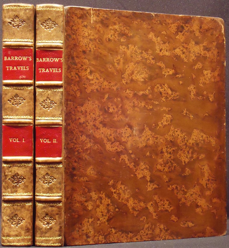
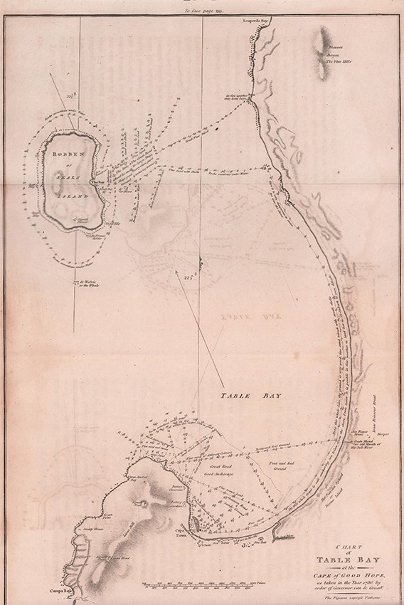
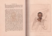
Second edition: 2 volumes, 427 + 372 pages (+ directions to binder at the end of volume II), 8 hand-coloured aquatint plates by Samuel Daniell, large folding map coloured in outline, 8 folding charts and plans 2 of which are hand-coloured, the hand coloured plans in volume 2 starting to tear at the folds – the military plan of The Cape Peninsula has been repaired on the back with tape, contemporary full mottled calf rebacked – red title labels gilt on spine, uncut edges, usual off-setting on the two hand-coloured charts in volume II, overall a very good set of the second and best edition.
- Overall Condition: A Very Good Set
- Sold By: Clarke's Africana & Rare Books
- Contact Person: Paul Mills
- Country: South Africa
- Email: [email protected]
- Telephone: 021 794 0600
- Preferred Payment Methods: Visa & Mastercard via PayGate secure links and Bank transfers.
- Trade Associations: ABA - ILAB, SABDA


