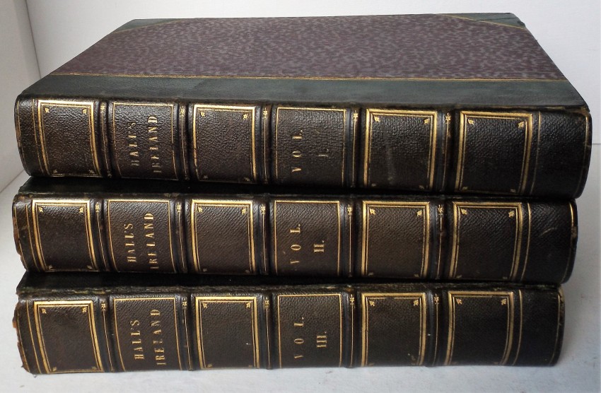
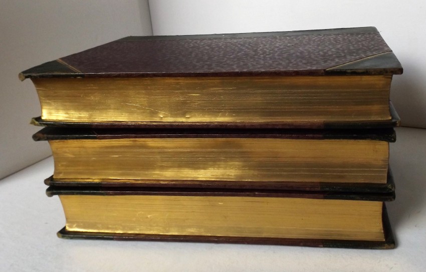
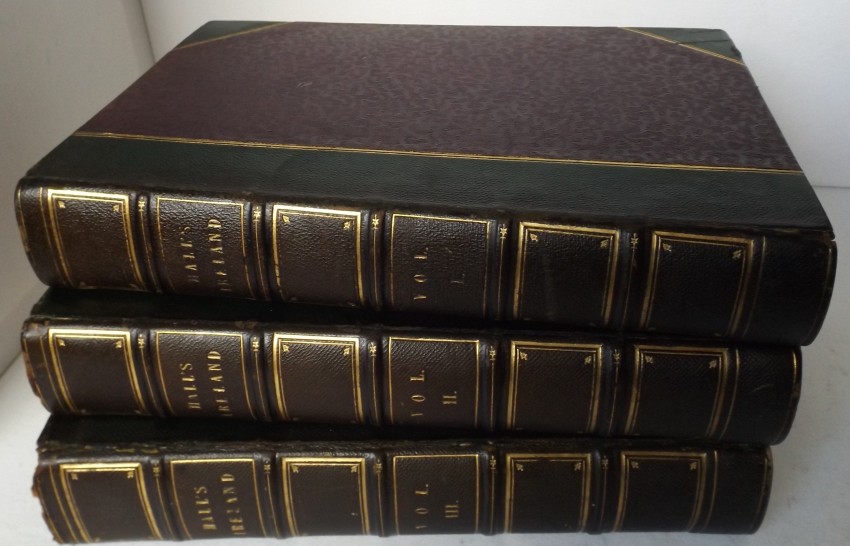
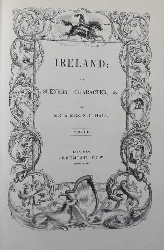


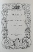


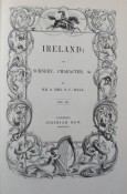
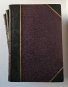

3 Volume Set.
First edition set.
Half-leather [green] over Moire silk boards.
Raised bands with gilt panels and contrasting title labels.
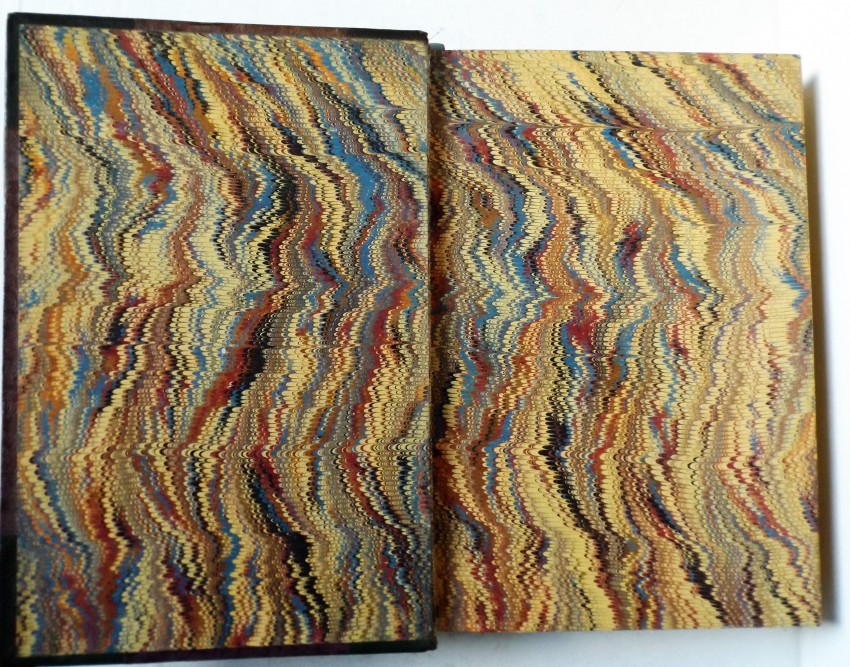
Marbled endpapers and triple gilt page edges.
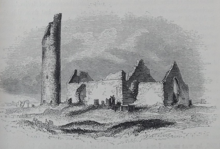
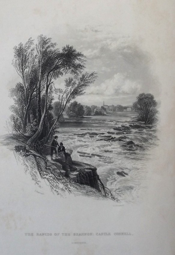
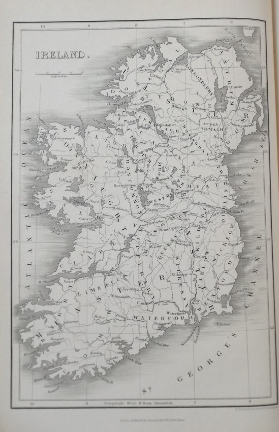
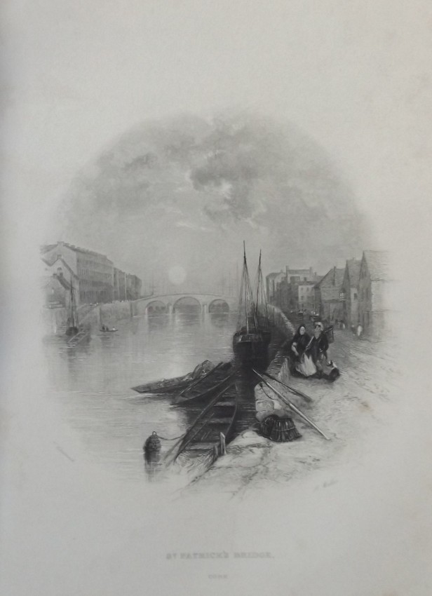
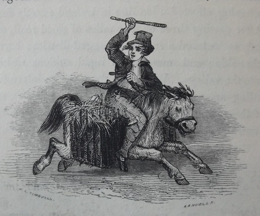
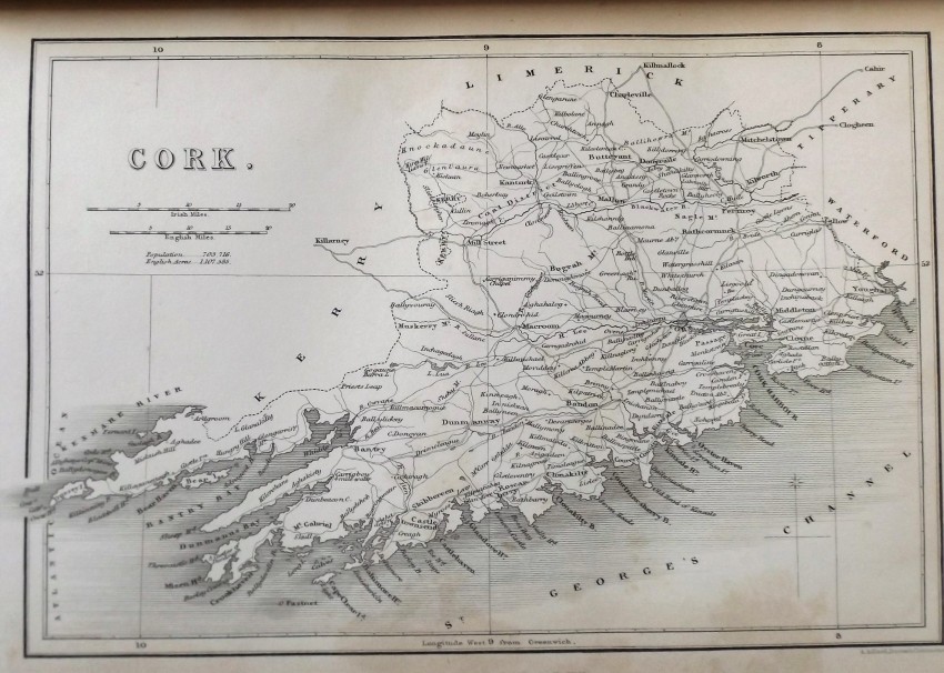
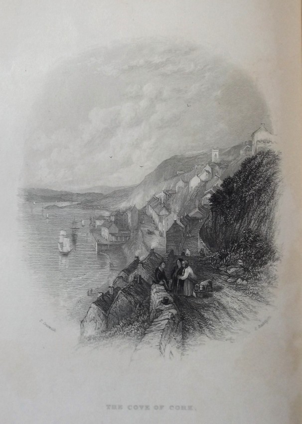
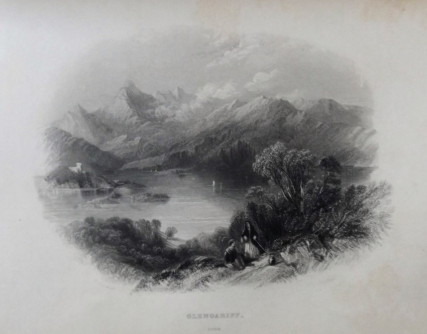
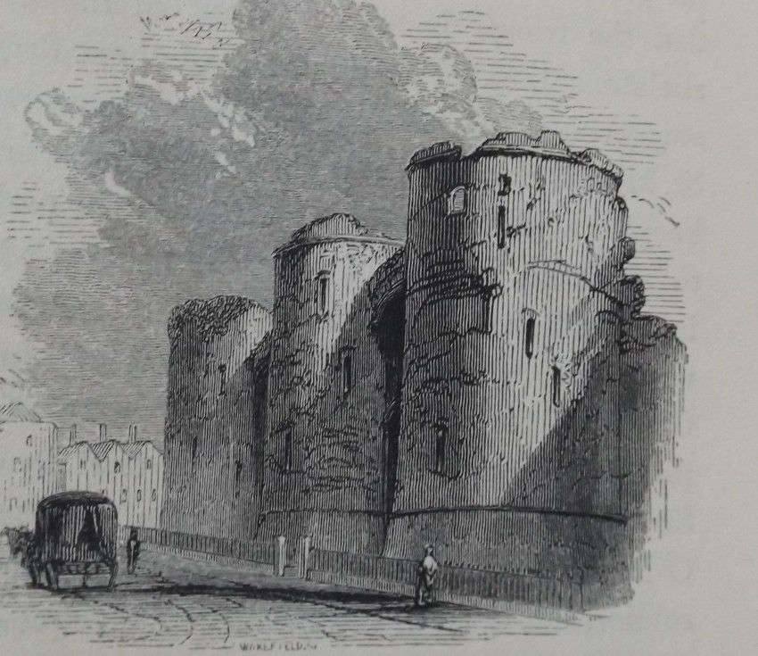
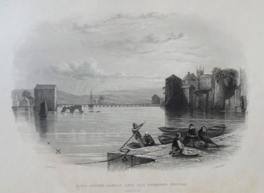
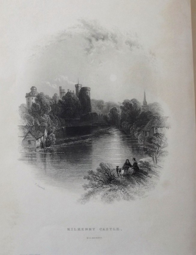
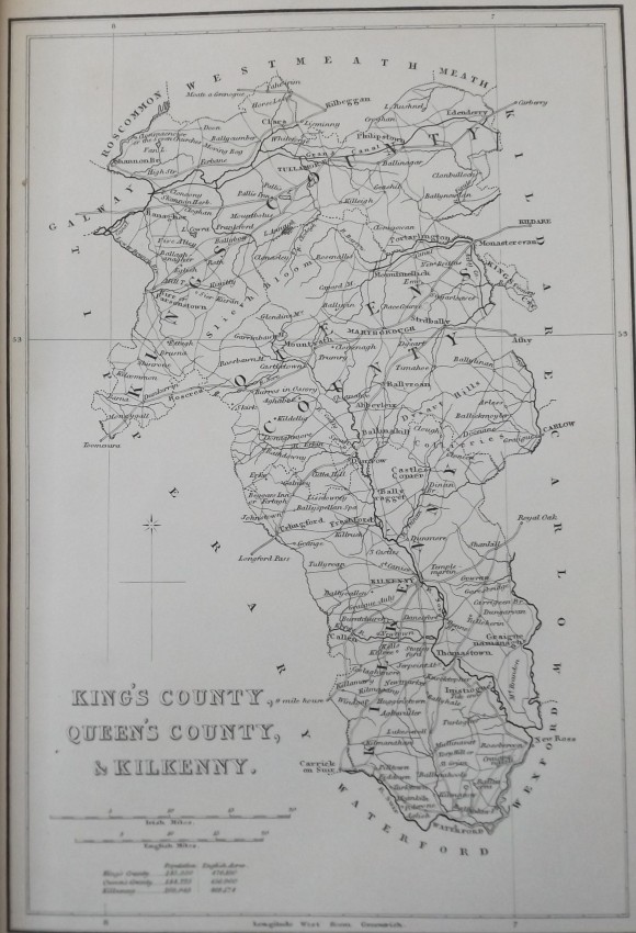
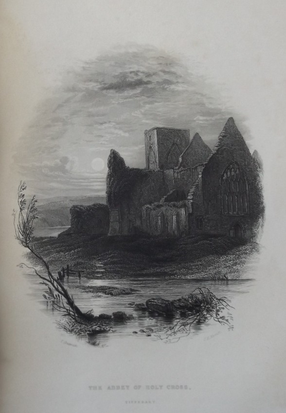
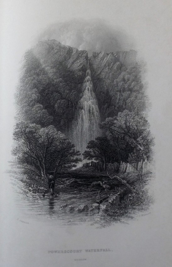
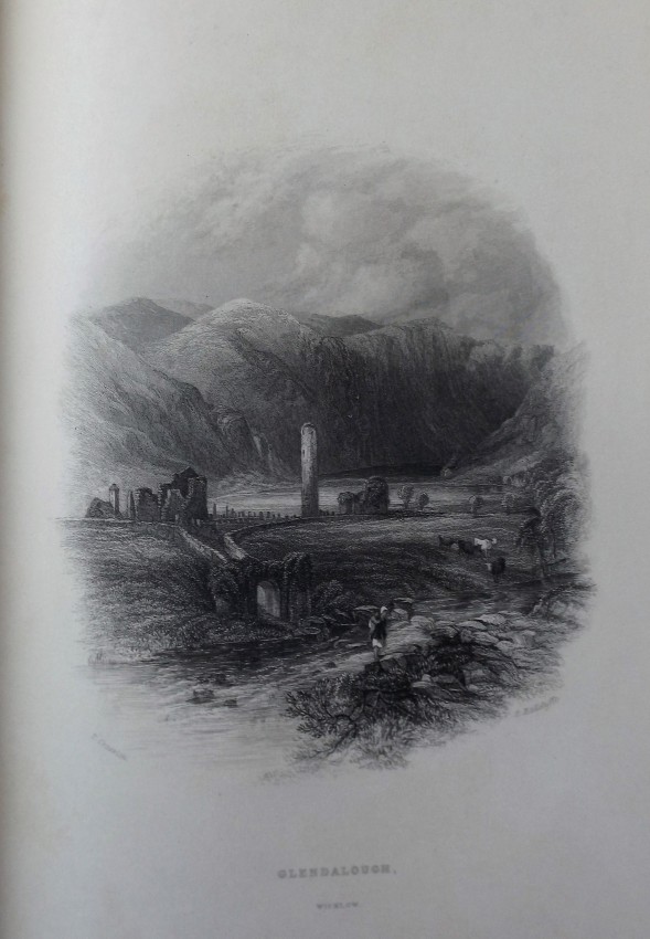
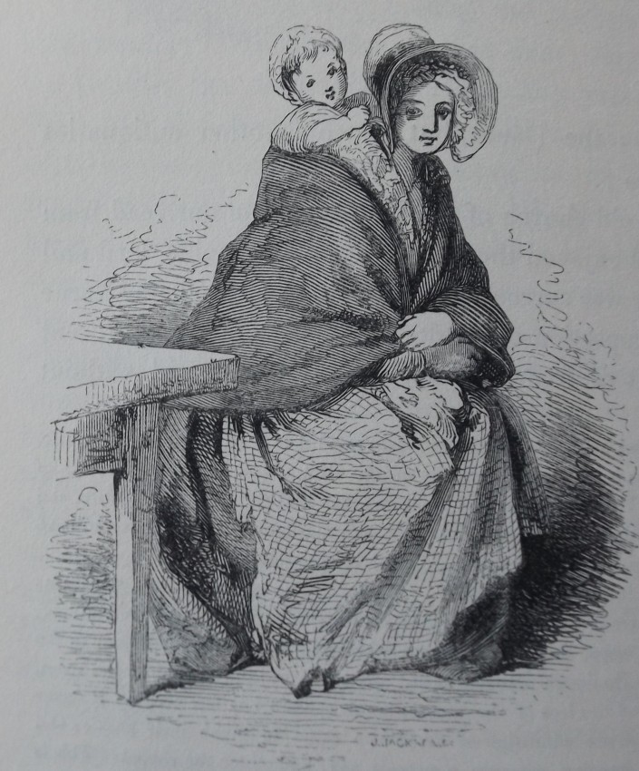
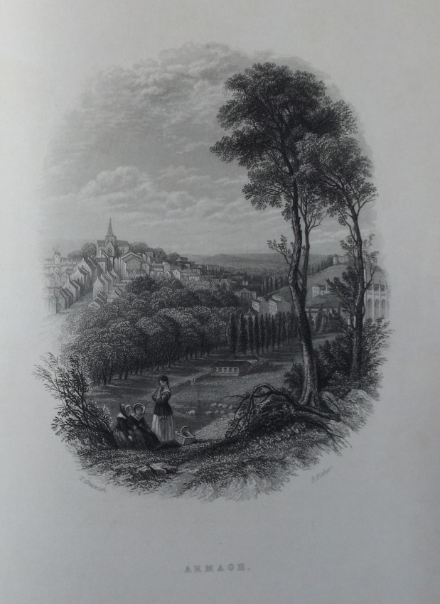
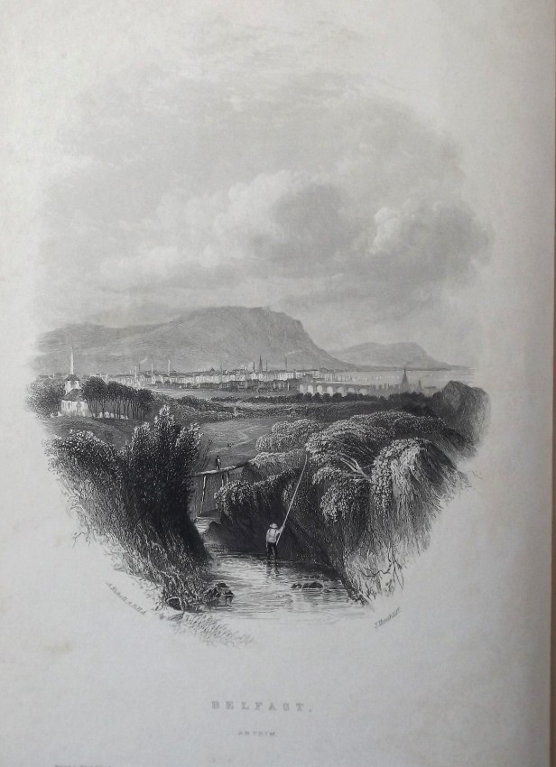
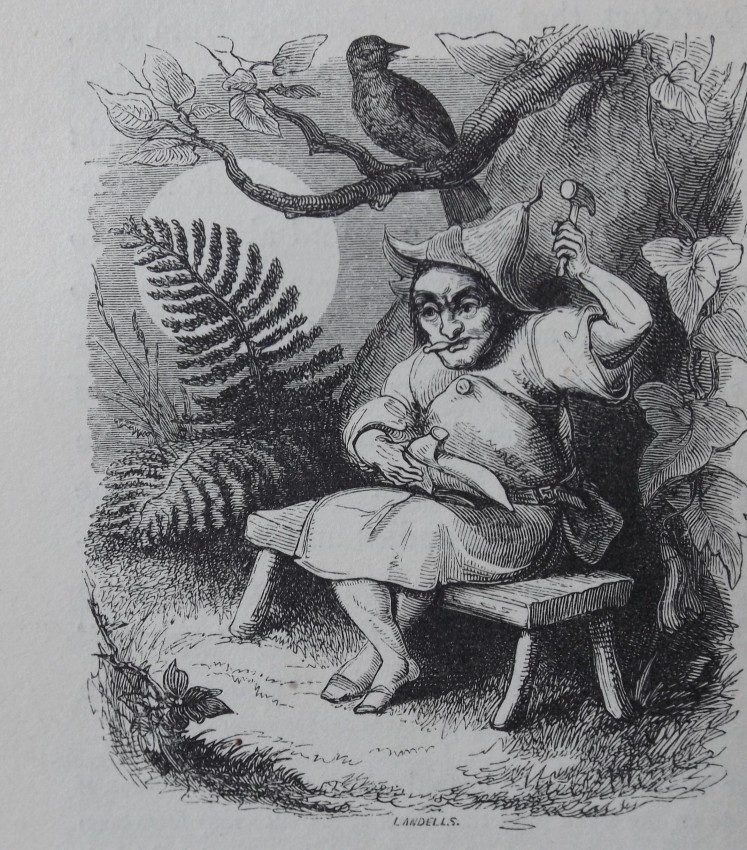
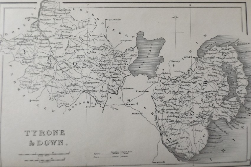
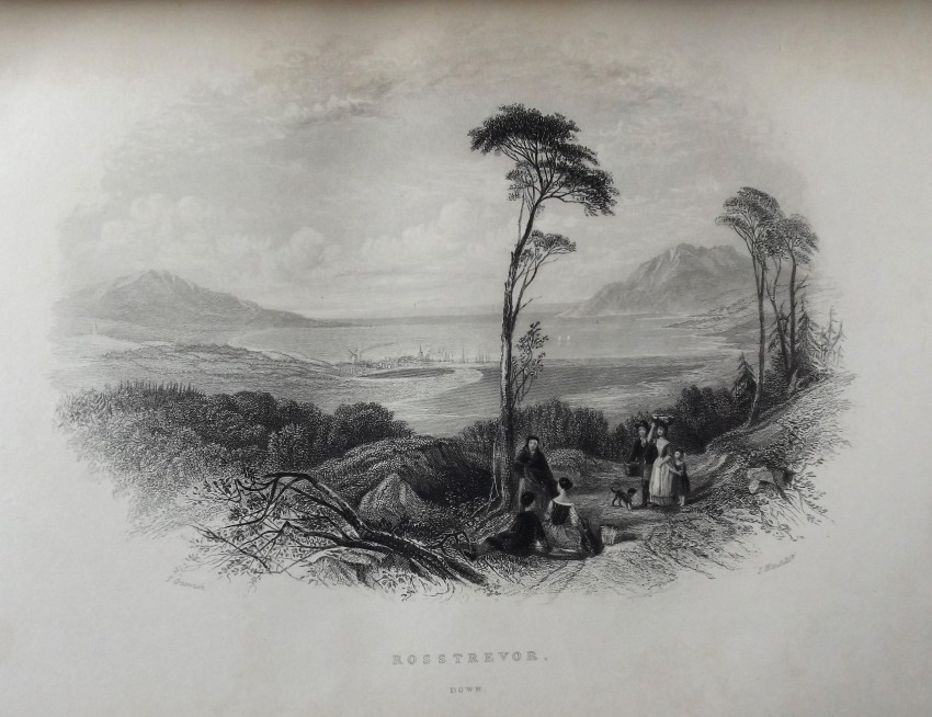
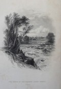
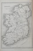
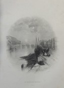
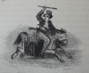
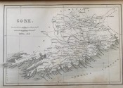
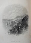
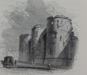
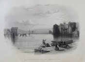
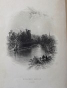
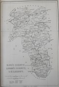
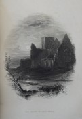
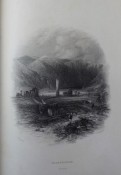
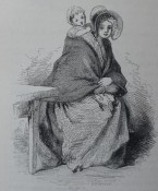
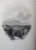
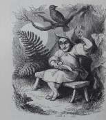
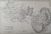
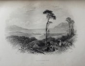
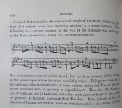
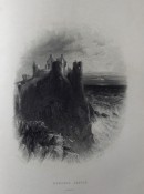
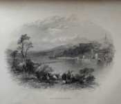
Illustrated throughout with maps, plates and vignettes.
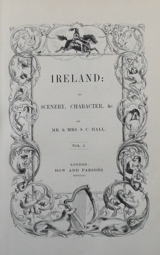
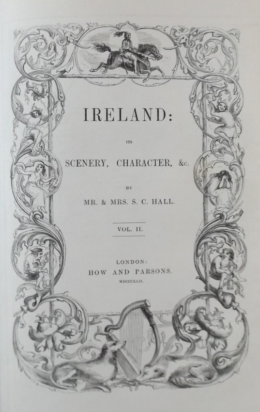
Volume 1. 1841.
xii, 435 pages + full-page and in-text plates/illustrations/maps.
Volume 2. 1842.
viii, 468 pages + full-page and in-text plates/illustrations/maps.
Volume 3. 1843.
viii, 512 pages + full-page and in-text plates/illustrations /maps.
This was a lavish publication at the time. Highly regarded illustrators
and cartographers were only used and their work was complimented by
the best engravers to be had.
"The principle aim of the publication was to entice English
readers to visit Ireland and to advance the notion that the
political union of Great Britain and Ireland was beneficial to both sides.
From 1825 on-wards the intrepid Halls undertook five tours of the island
gathering the information they needed. Ireland had often been
cited as the best example of Celtic culture since it remained outside
the sphere of conquest of the Roman Empire. Untouched by the attacks
of Roman conquerors, the island possesses valuable evidence of Celtic
archaeology and traditions". The evidence of this assertion can clearly be seen
throughout the publication.
Shipping weight 5000g.
Shipped and insured by recorded delivery.
- Binding Condition: Very Good
- Overall Condition: Good - Very Good
- Size: 26 x 18 cm
- Sold By: West Clare Rare Books
- Contact Person: Tom Moloney
- Country: Ireland
- Email: [email protected]
- Telephone: 0657087803
- Preferred Payment Methods: Credit Cards - PayPal - Cheque.
- Trade Associations: AA Approved


