
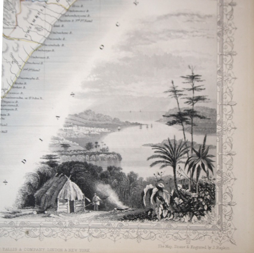
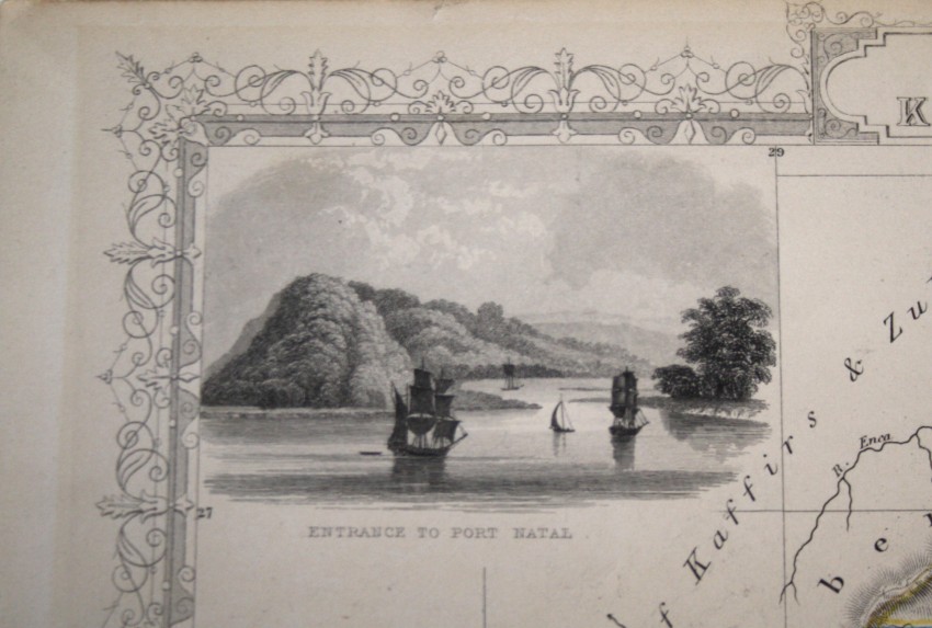
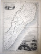

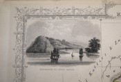
Tallis's map of Natal and Kaffraria, with vignettes of Port Natal and Durban atlas.
This map was printed from a steel engraving by John Rifkin for Tallis’s The Illustrated Atlas, and Modern History of the World, Geographical, Political Commercial & Statistical, which was edited by R. Montgomery Martin (London, 1851). The map was issued to coincide with the Great Exhibition of 1851 in London, Tallis’s atlas was highly regarded: both scientific and also visually attractive.: it wasone of the most decorative atlases of the nineteenth century.
This map depicts the emerging colony of natal, with Kaffraria to the south and Zululand to the North.
The map is in very good condition - there is a light stain from the glue used to join the two halves of the map. Otherwise in fine condition.
A wonderful map for anyone from Natal or what was Kaffraria.
- Overall Condition: Very good
- Size: 35.5cm x 24.5cm
- Sold By: Thorolds Legal & Antiquarian Booksellers
- Contact Person: Kim Roberts
- Country: South Africa
- Email: [email protected]
- Telephone: 0118759991
- Preferred Payment Methods: Cash; EFT; Credit Card
- Trade Associations: Antiquarian Bookseller's Association


