

List of maps:
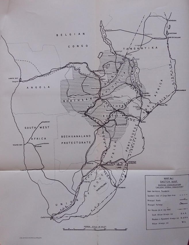
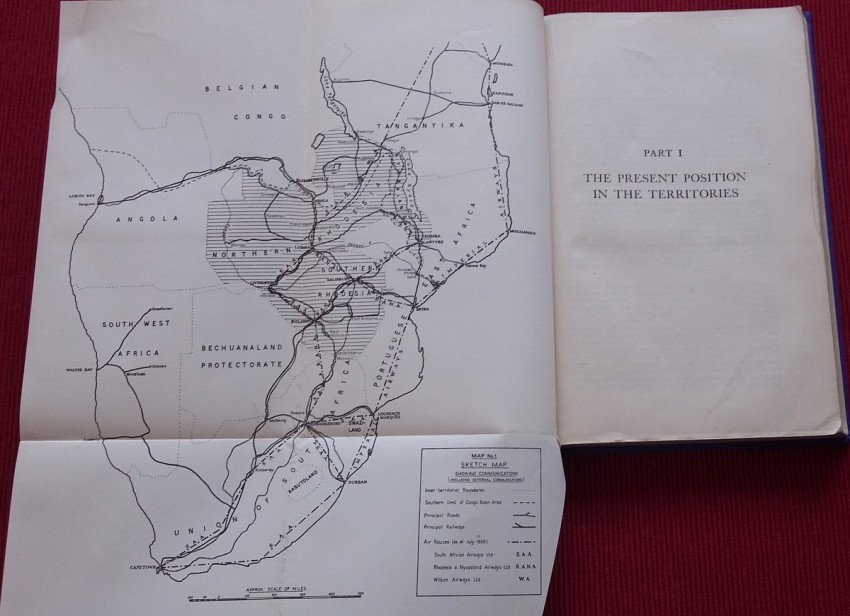
Map No. 1 - Sketch Map showing communications (including external communications)
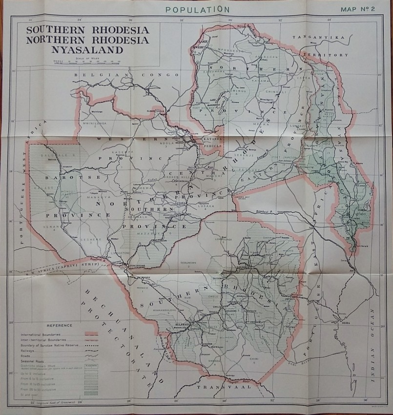
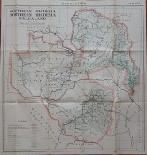
Map No. 2 - Population
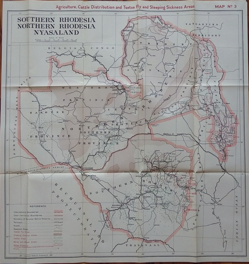
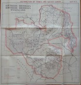
Map No. 3 - Agriculture, Cattle Distribution and Tsetse Fly and Sleeping Sickness Areas
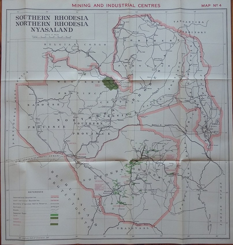
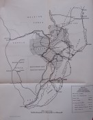
Map No. 4 - Mining and Industrial centres
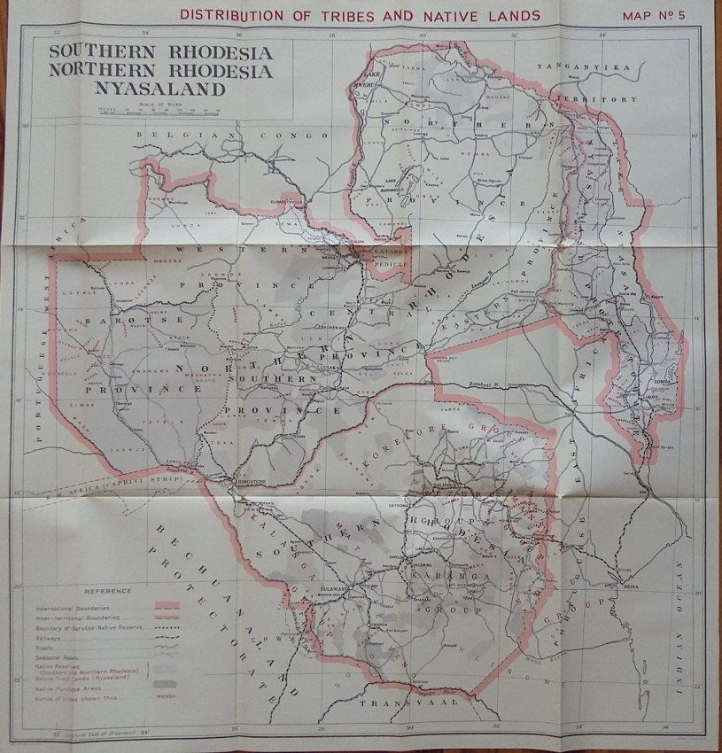
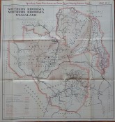
Map No. 5 - Distribution of Tribes and Native Lands
Blue paper wrappers; Collation complete - 283 pages + 4 large folding coloured maps (69 x 66 cm) + 1 folding sketch map; British Parliamentary Paper Cmd.5949.; A clean and well preserved copy. Library mark on cover. Four folding maps are in near fine condition, probably never opened. Protected with thermal binder.
- Binding Condition: Very good
- Overall Condition: Near fine
- Size: 24,5 x 15,5 cm
- Sold By: The Antiquarian Book
- Contact Person: Mariana Deric
- Country: Romania
- Email: [email protected]
- Telephone: +40727375356
- Preferred Payment Methods: Paypal (no additional charges); Bank (WIRE) transfer via IBAN/BIC/SWIFT
- Trade Associations: AA Approved


