
Current Bid: $0
Approximately:
Reserve: $40
Estimate: $50/60
What is a proxy bid? | Learn how to bid
15% buyer's premium on final price
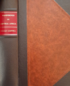
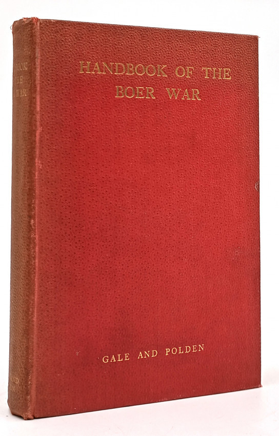
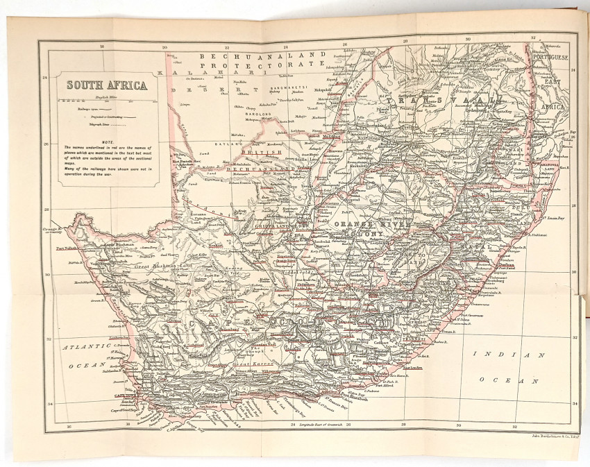
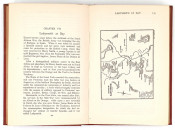
377 pages, large folding map of South Africa as frontispiece, 18 maps and sketch maps, original red cloth, spine slightly faded, a very good copy.
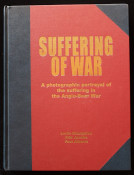
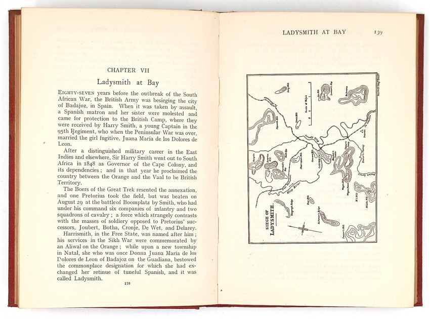
Prefatory Note: 'The author has endeavoured in this Handbook to compile for the use of students and others, a general account of the various phases of the Boer War of 1899 - 1902, in which he served for 26 months.'
- Overall Condition: Very good
- Size: 8vo (190 x 130 mm)
- Name: Clarke's Africana & Rare Books
- Contact Person: Paul Mills
- Country: South Africa
- Email: [email protected]
- Telephone: 021 794 0600
- Preferred Payment Methods: Visa & Mastercard via PayGate secure links and Bank transfers.
- Trade Associations: ABA - ILAB, SABDA