Current Bid: $0
Reserve: $400
Estimate: $600
What is a proxy bid? | Learn how to bid
15% buyer's premium on final price
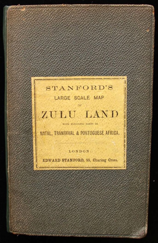
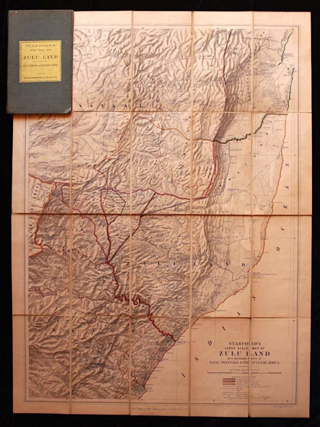
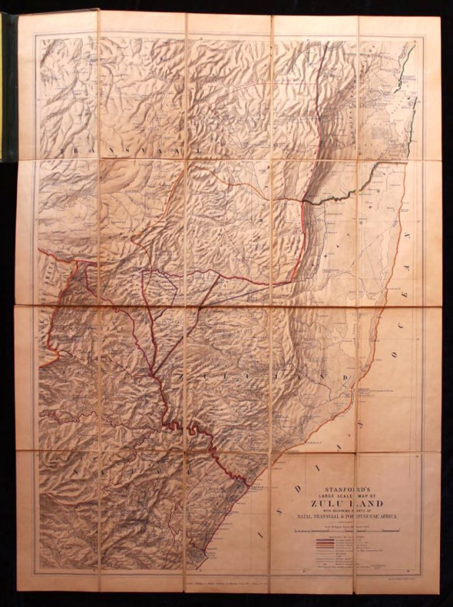
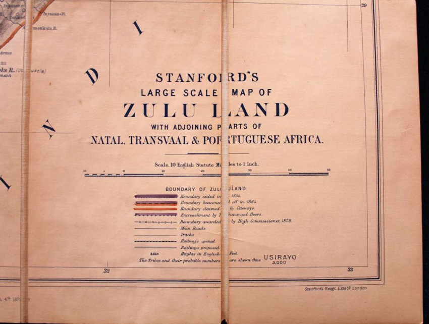
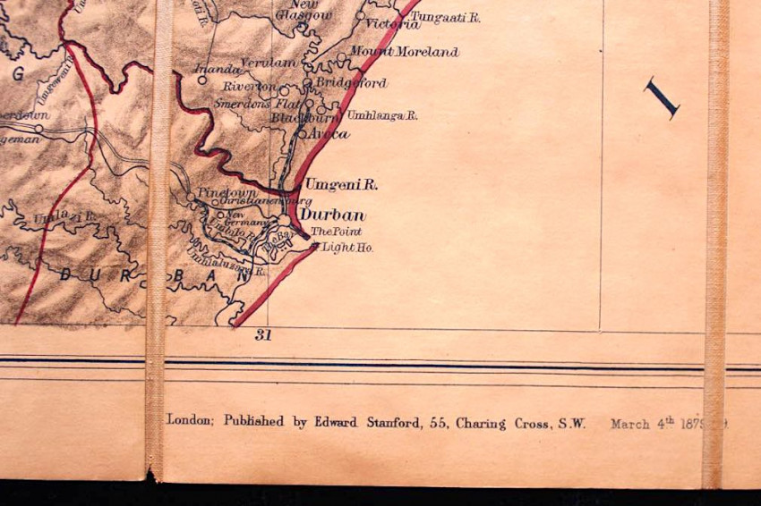
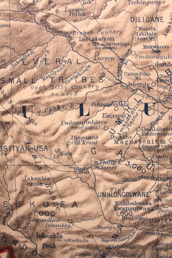
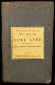
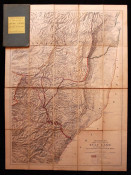
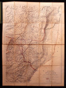
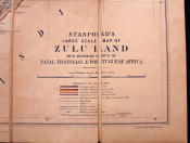
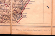
Stanford's large scale map of Zululand published in March 1879.
The publication dates corresponds with the period of the Anglo-Zulu War.
The publisher's original cloth backed map is in near fine condition.
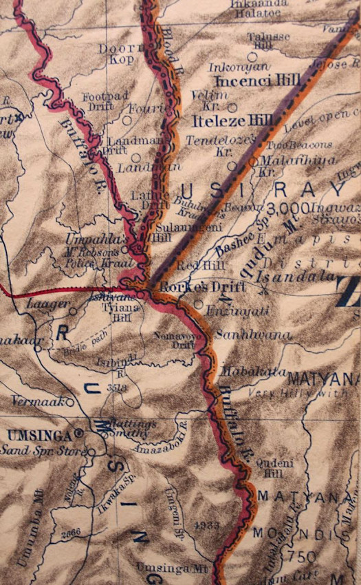
Stanford's Large Scale Map of Zulu Land with Adjoining Parts of Natal, Transvaal & Portuguese Africa (1879) is a historically significant 19th-century campaign map published by Edward Stanford in London. It was actively used by the British military officers on the field during the Anglo-Zulu War. It provided critical tactical information shortly after the Battle of Isandlwana and the defence of Rorke's Drift.
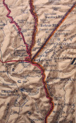
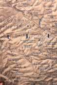
Alongside depicting topography, the map includes notes on physical features, population distribution, tribal territories, and their "probable numbers".
The complete historical context for this map can be found on the following link: https://mapforum.com/2022/02/18/the-zulu-war-isandhlwana-rorkes-drift/
- Binding Condition: Near Fine
- Overall Condition: Near Fine
- Name: Rare Paper
- Contact Person: Armandt Marais
- Country: South Africa
- Email: [email protected]
- Telephone: 0741235861
- Preferred Payment Methods: EFT, Bank Deposit. For International Customers: Paypal with 6% surcharge, International Transfer
- Trade Associations: A. A. Approved