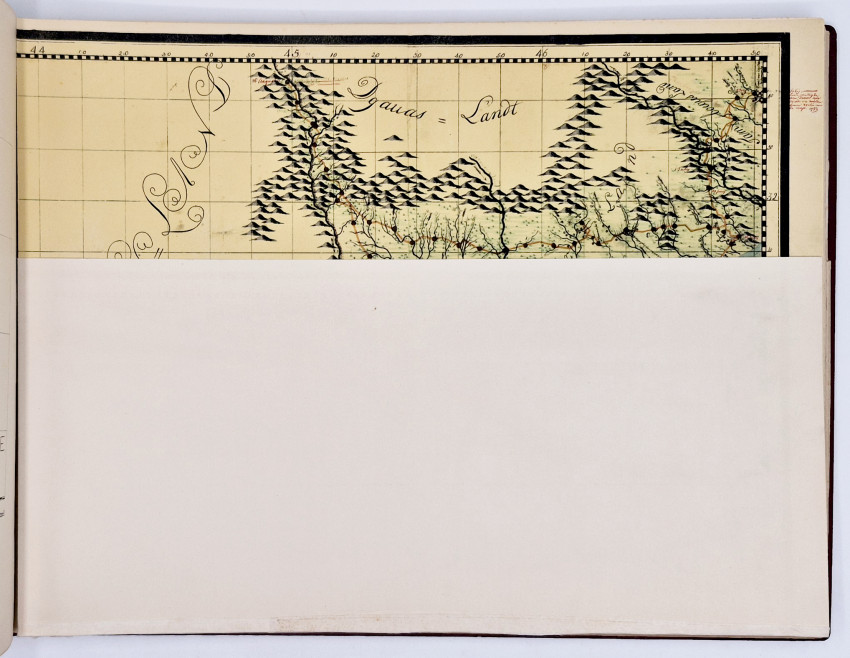
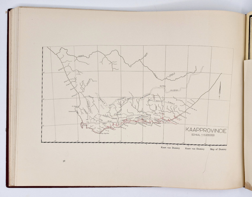
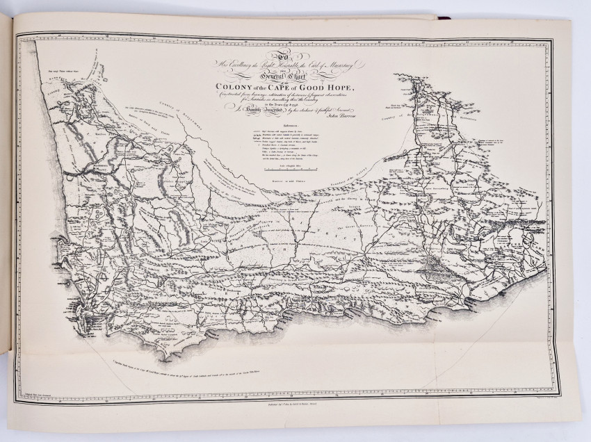
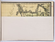

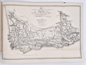
First Edition: 41 pages of text, 11 folding maps (1 in a pocket in the back cover - insect damaged at the first fold), full red leather, titled gilt on the upper cover.
Parallel text in Dutch, Afrikaans and English
- Overall Condition: Very good
- Size: Oblong folio (310 x410mm)
- Sold By: Clarke's Africana & Rare Books
- Contact Person: Paul Mills
- Country: South Africa
- Email: [email protected]
- Telephone: 021 794 0600
- Preferred Payment Methods: Visa & Mastercard via PayGate secure links and Bank transfers.
- Trade Associations: ABA - ILAB, SABDA
Similar lots in the current auction View all
Click on an item to view more details and to bid.