


Current Bid: $0
Approximately:
Reserve: $180
Estimate: $270
What is a proxy bid? | Learn how to bid
15% buyer's premium on final price
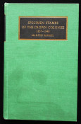
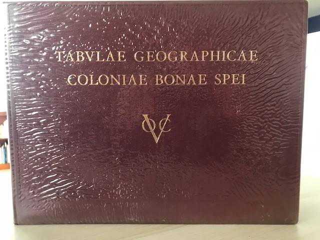
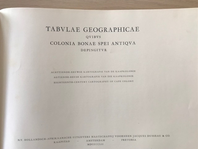
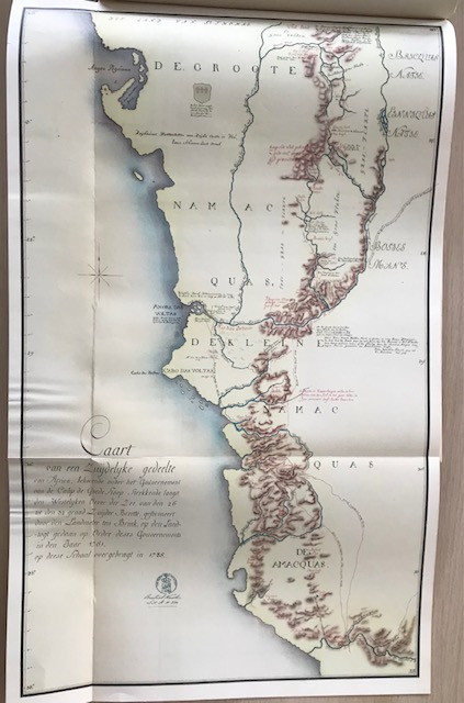
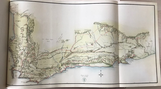
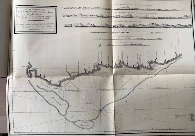
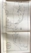
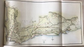
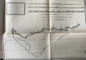
Hardcover First Edition. Very good condition. Covered in protective plastic which has been taped to the inside of the boards, which will leave further tape marks if removed. Aside from browning and tape marks to the end papers internally the book is clean and free from any internal markings or inscriptions. All 10 plates / maps are present, along with the large fold out map tucked into the rear pocket, and in very good condition. Note: The maps are yellow / browned but appear whiter in the photos. Please note that this is a large and relatively heavy book and may require extra shipping charges.
- Overall Condition: Very good
- Name: Surrey Hills Books
- Contact Person: Richard Cornelius
- Country: United Kingdom
- Email: [email protected]
- Telephone: 07912405208
- Preferred Payment Methods: Bank Transfer, PayPal
- Trade Associations: PBFA