
Current Bid: $0
Approximately:
Reserve: $100
Estimate: $140
What is a proxy bid? | Learn how to bid
15% buyer's premium on final price
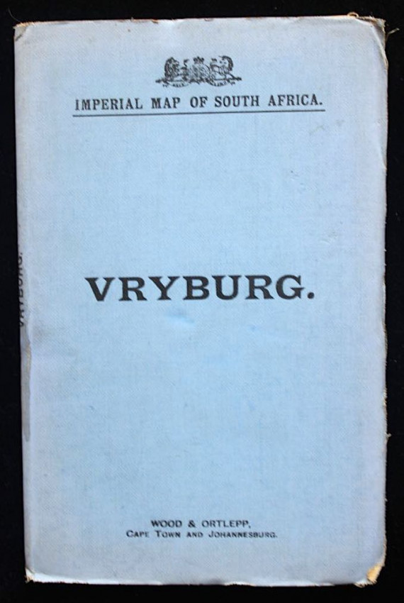
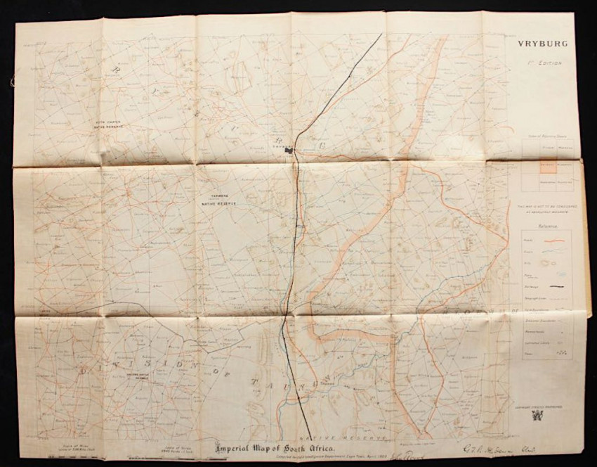
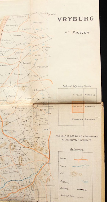
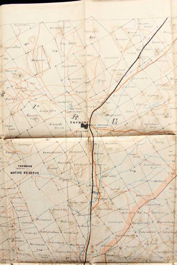
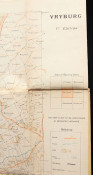
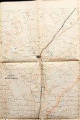
"Compiled for Field Intelligence Department, Cape Town, April 1900"
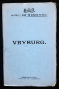
Printed on linen-backed paper which folds into a blue cloth cover.
Wood & Ortlepp's series of field intelligence maps, detailing all the Orange Free State and Transvaal towns, were used in the field by the British military during the Anglo-Boer War. The maps folded to pocket size for easy usage on horseback.
This map is of Vryburg and surrounds, showing all roads, rivers, hills, pans, railways, telegraph lines, farm boundaries and fences, homesteads etc.
The map is complete and in very good condition.
- Binding Condition: Very Good
- Overall Condition: Very Good
- Name: Rare Paper
- Contact Person: Armandt Marais
- Country: South Africa
- Email: [email protected]
- Telephone: 0741235861
- Preferred Payment Methods: EFT, Bank Deposit. For International Customers: Paypal with 6% surcharge, International Transfer
- Trade Associations: A. A. Approved