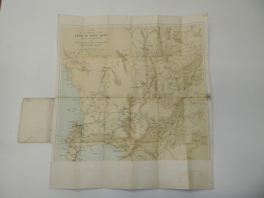


A fascinating and uncommon, dissected and laid on linen and folded into its original flimsy wrapper.
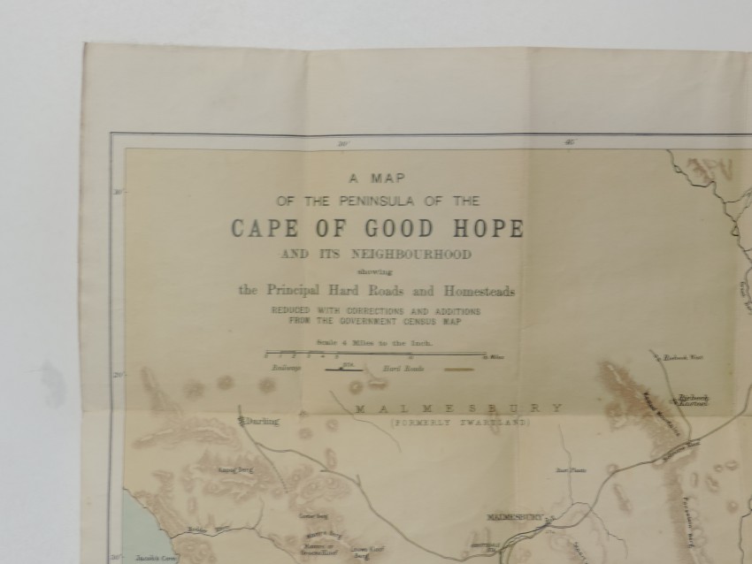
The map is not dated but is c.1890 (the railway line to the east ends at Sir Lowry's Pass). There is a black ink, manuscript line that extends the railway to Caledon (reached in 1902); the line probably was drawn c. 1900 - it follows an impossible route!
This is one of the first road maps of the south-western Cap, which displays the outcome of a period of intense civil engineering undertaken to improve the wagon routes in the south-western part of the Cape Colony. It also names important homesteads along the routes. Many of the current main roads follow the same or similar route. Some no longer exist such, as the pass over the unnamed Donkerhoekberge (above the wall of the Tierwaterskloof Dam) between Villiersdorp and Genadadendal (the Donkerhoek road was described as "execrable" by Charles Michell).
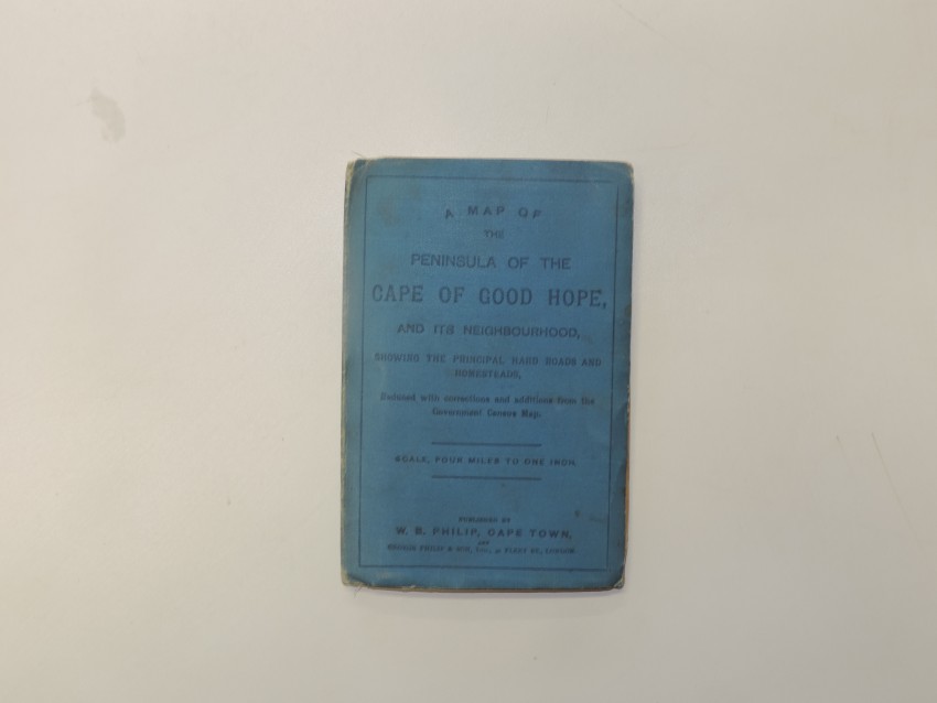
There is some surface dirt and a small stain at the outer margin of the map, repeated at congruent folding points. The outer wrapper is grubby. The map was laid on linen many years ago, presumably to prevent progression of the small tears at a number of the the folds.
This is arguably the first road map of the region and it is uncommonly in the market.
- Overall Condition: Good
- Size: 54 x 65cm
- Sold By: Thorolds Legal & Antiquarian Booksellers
- Contact Person: Kim Roberts
- Country: South Africa
- Email: [email protected]
- Telephone: 0118759991
- Preferred Payment Methods: Cash; EFT; Credit Card
- Trade Associations: Antiquarian Bookseller's Association


