
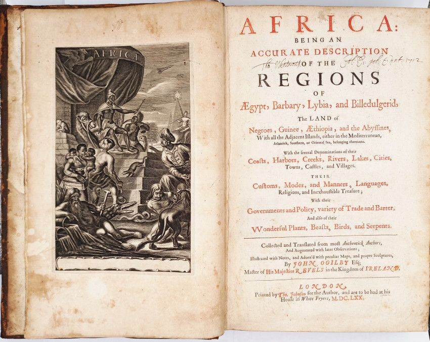


Being, An Accurate Description of the Regions of Egypt, Barbary, Lybia, and Billedulgerid, the Land of Negroes, Guinee, Aethiopia, and the Abysinnes, with All the Adjacent Islands, either in the Mediterranean, Atlantick, Southern, or Oriental Sea.
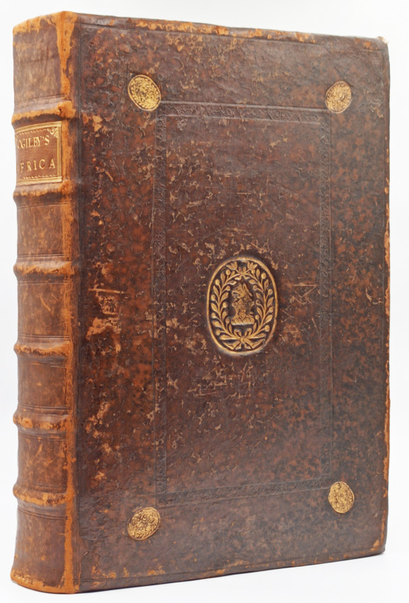
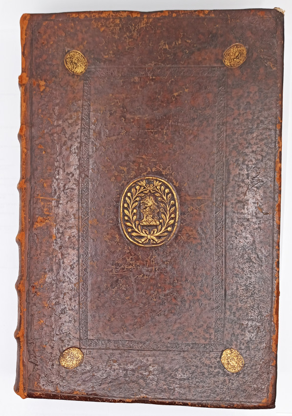
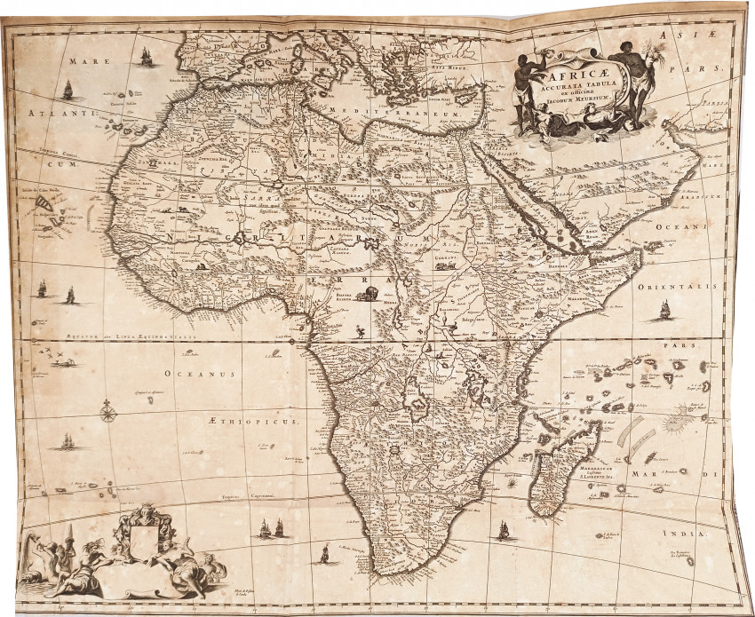
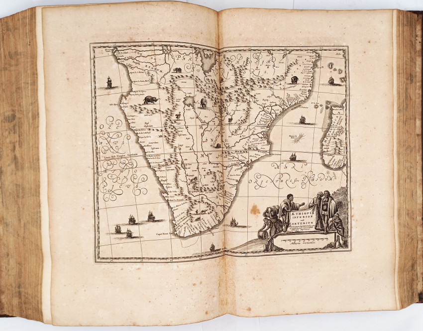
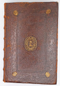
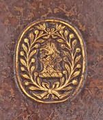
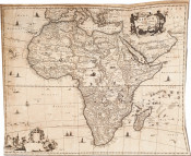
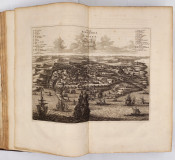
First edition: xvi, 767 engraved frontispiece, large folding map of Africa, title page printed in red and black,12 double page engraved maps, 33 double page engraved illustrations, full leather binding with gilt vignette and decoration on the upper cover, the leather is scuffed and worn along the edges, titled gilt on the spine, worn at the hinges, book plate on front paste down end paper, faded sprinkled edges, a good copy.
Half title reads: ENGLISH ATLAS, Tome the First
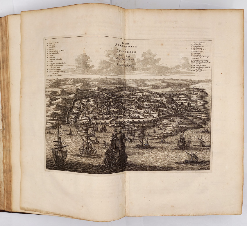
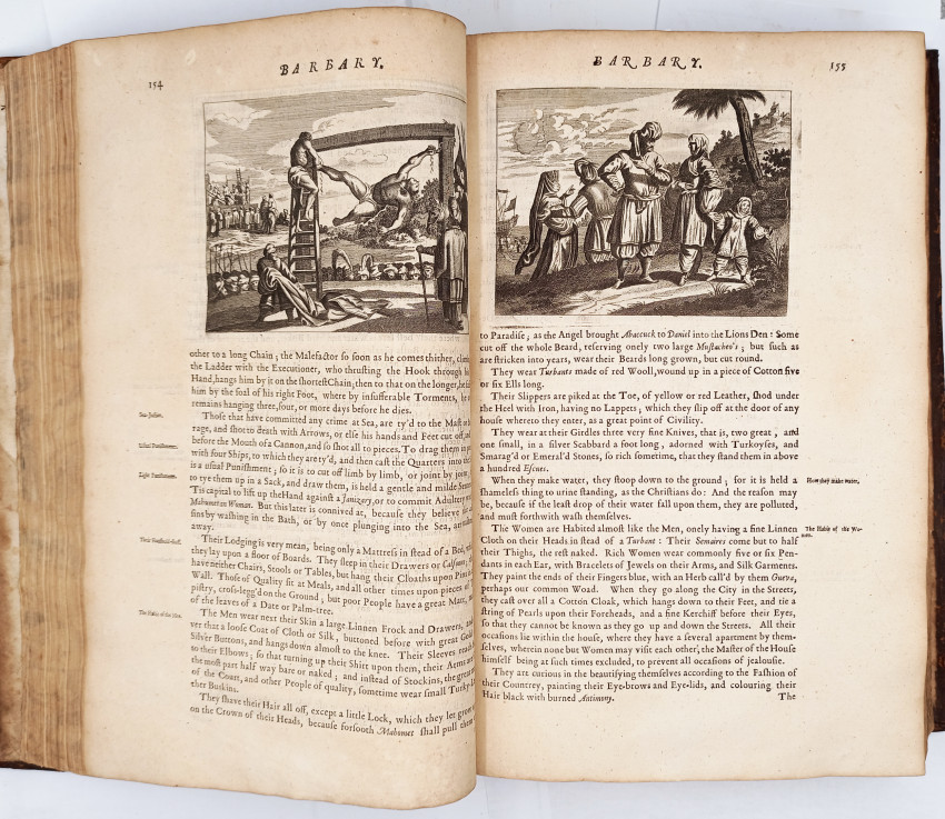
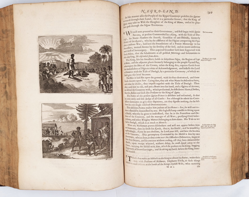
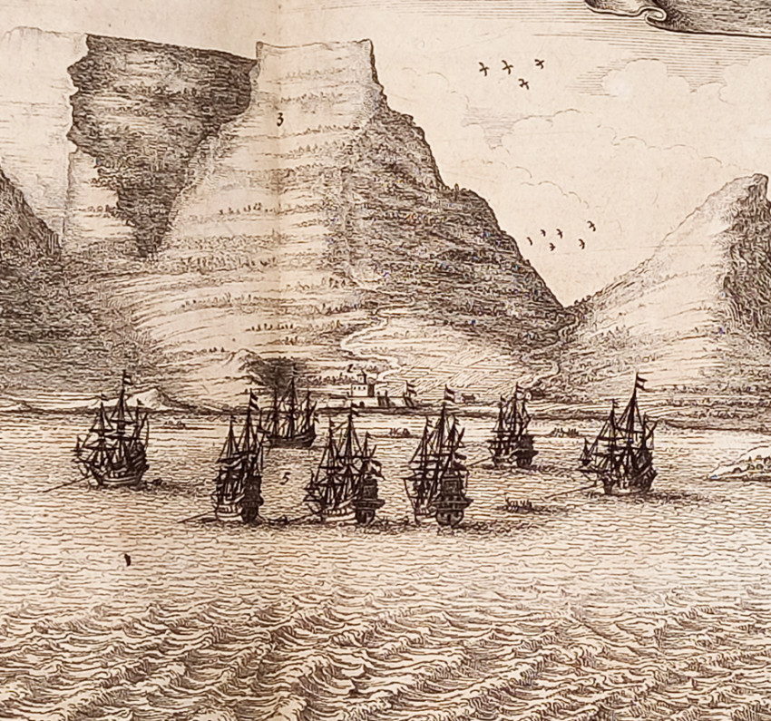
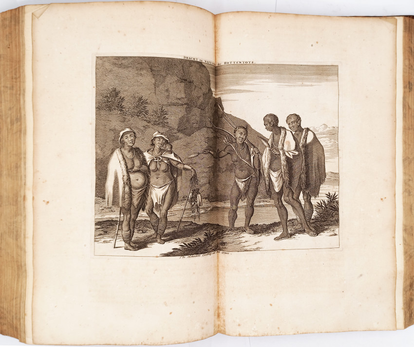
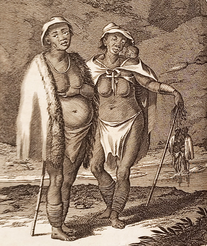
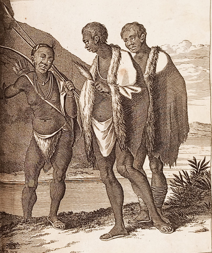
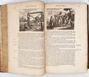
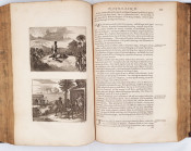
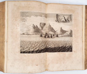
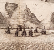
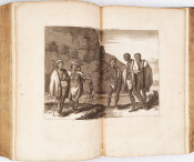
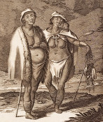
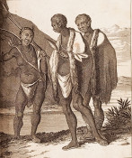
This enormous volume was published by John Ogilby (1600–1676) in 1670. It was devised as a comprehensive guide to Africa – intended for a British readership – and includes maps, topographical engravings and narrative descriptions of the countries, provinces, peoples and customs of that continent. Very little of the information was original, as Ogilby compiled and translated it from a wide selection of pre-existing European sources. As the fledgling British Empire developed in the 17th century, knowledge of foreign lands was becoming increasingly important to the nation. Ogilby was granted a royal warrant by King Charles II (1630 –1685) to publish ‘A Description of the Whole World’. Africa was the first volume in this series of ornate atlases; Atlas Japannensis (1670), America (1671), Atlas Chinensis (1671) and Asia (1673) followed.
Ogilby’s volume was, at the time of its publication, an attempt to provide a broad, detailed and accurate overview of the African continent as it was known to Europeans in the mid 17th century. For these reasons, it has become an important text in modern scholarship on representations of Africa throughout history. Published seven years after the official sanctioning of the slave trade in the British Empire, Africa included maps of coastal trading posts in West Africa, one of the primary regions exploited by Europeans working within the transatlantic slave trade. Many of these seaports, as well as the local African cultures, are described and depicted in this volume.
https://www.bl.uk/collection-items/john-ogilbys-africa-1670
- Overall Condition: A good copy
- Size: folio (420 x280mm)
- Sold By: Clarke's Africana & Rare Books
- Contact Person: Paul Mills
- Country: South Africa
- Email: [email protected]
- Telephone: 021 794 0600
- Preferred Payment Methods: Visa & Mastercard via PayGate secure links and Bank transfers.
- Trade Associations: ABA - ILAB, SABDA


