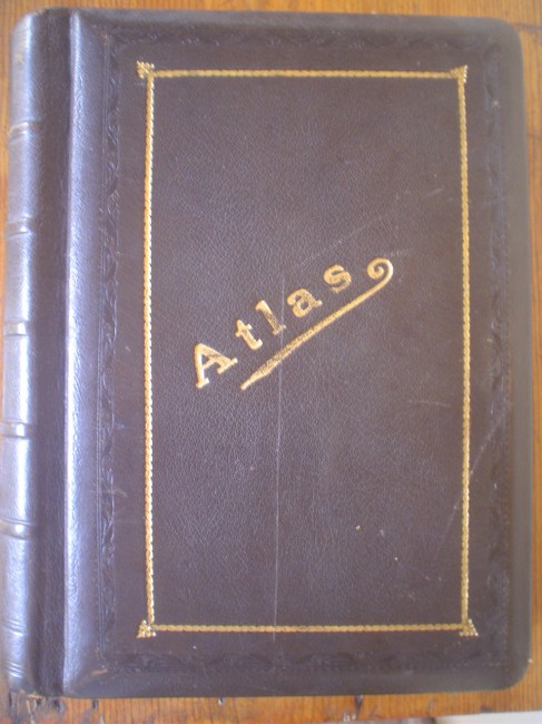
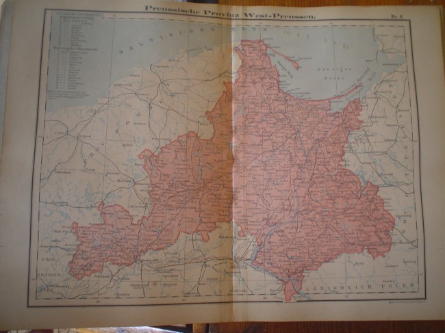
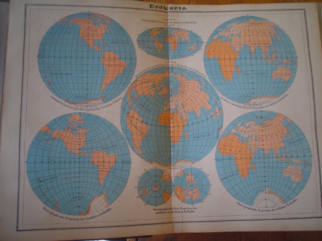
A full-leather bound book with 50 maps size 35 cm x 26 cm each. Maps are all in German. No date is found anywhere. If the Africa map can lead me towards a date, then it is older than 1910. These maps are most probably from 1890. It reveals Kap Kolonie, Oranje Freistaat, Deutsch-Sudwest-Afrika, British Betschuanaland........
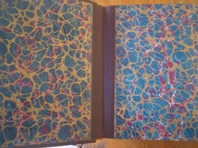
A beautiful atlas in very neat condition. Hubbed spines and embossing on front cover. Most maps have printed right bottom: Louis Gerstner, Leipzig. This atlas weights 2,6 kg's.
- Binding Condition: Very good
- Overall Condition: Very good
- Size: 22 cm x 28 cm
- Sold By: Mantis Books
- Contact Person: Charl Yates
- Country: South Africa
- Email: [email protected]
- Telephone: 0833219905
- Preferred Payment Methods: EFT & Paypal
- Trade Associations: AA Approved


