Description of maps:
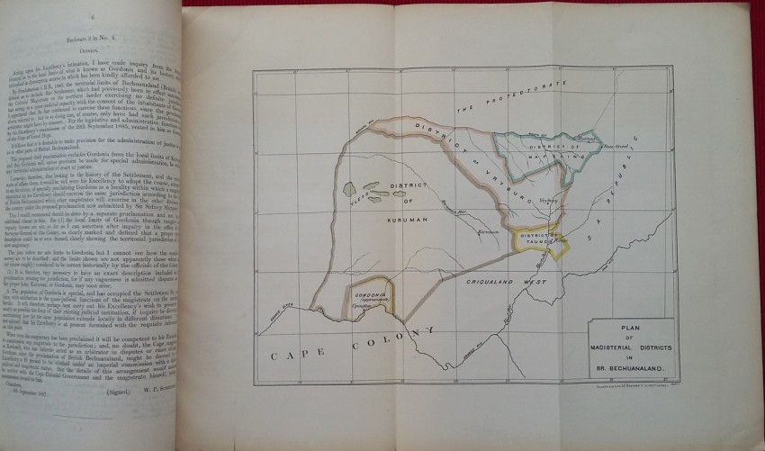
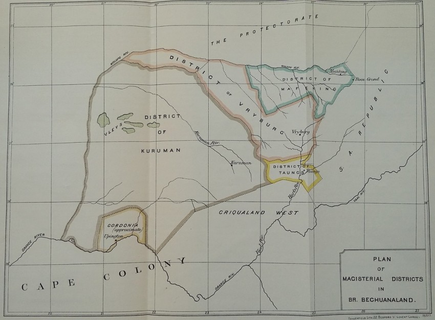
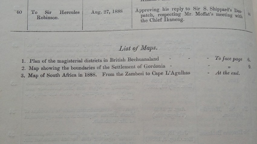
- Plan of the magisterial districts in British Bechuanaland;
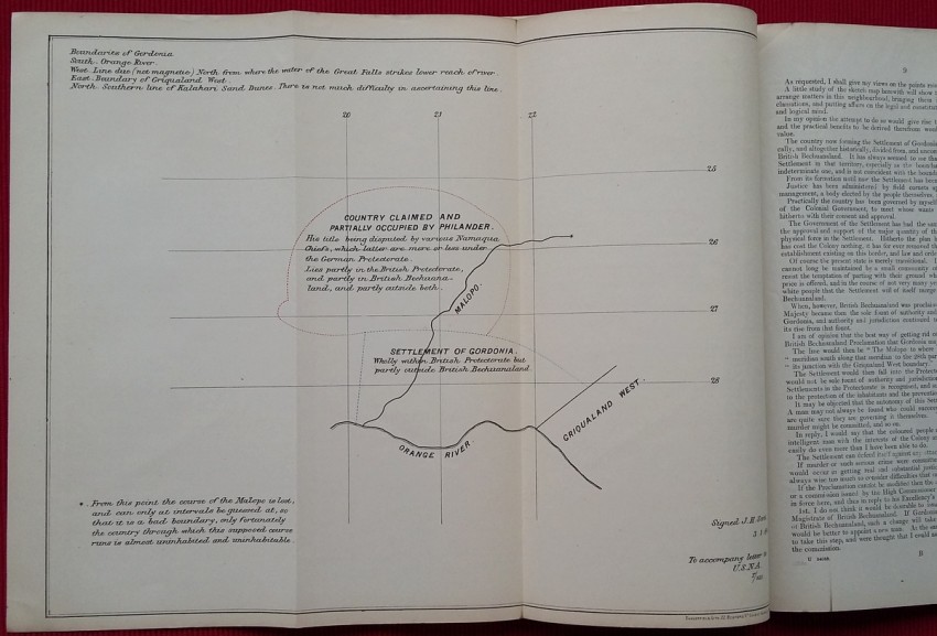
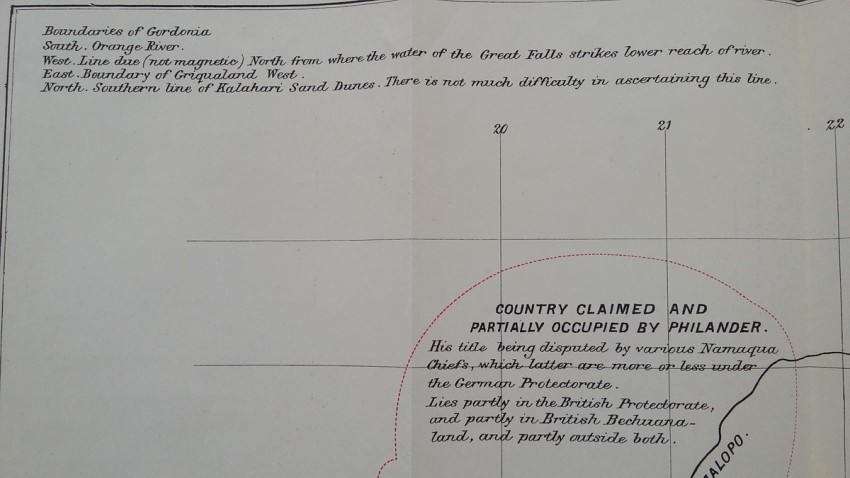
- Map showing the boundaries of the settlement of Gordonia;
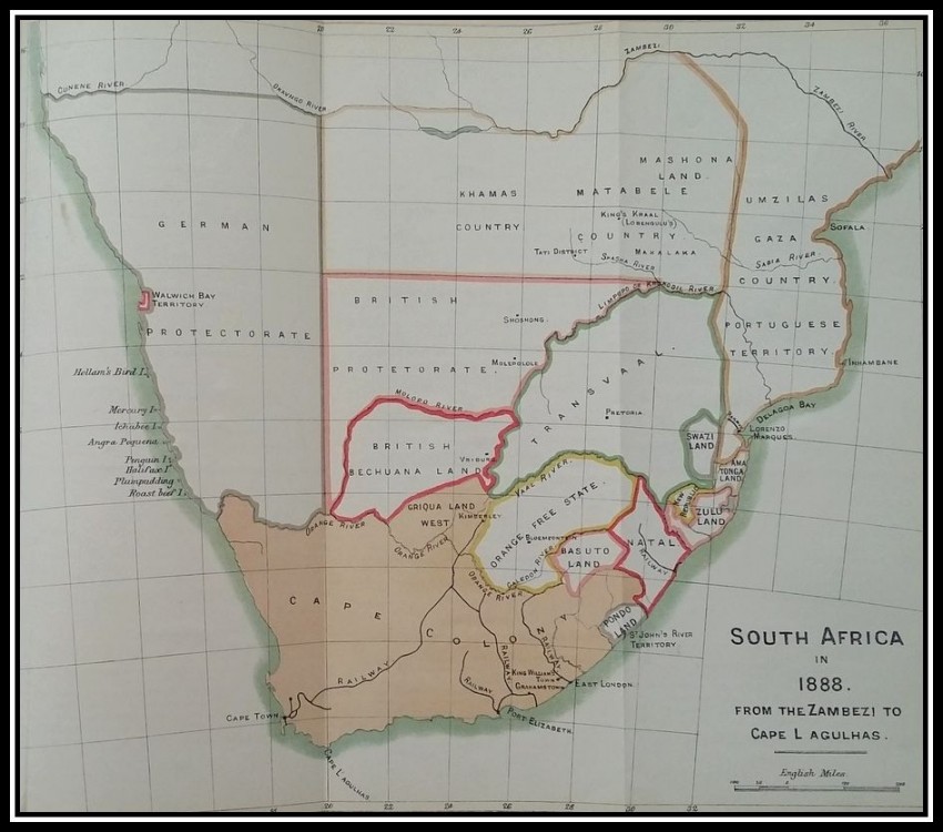
- Map of South Africa in 1888. From the Zambezi to Cape L'Agulhas.
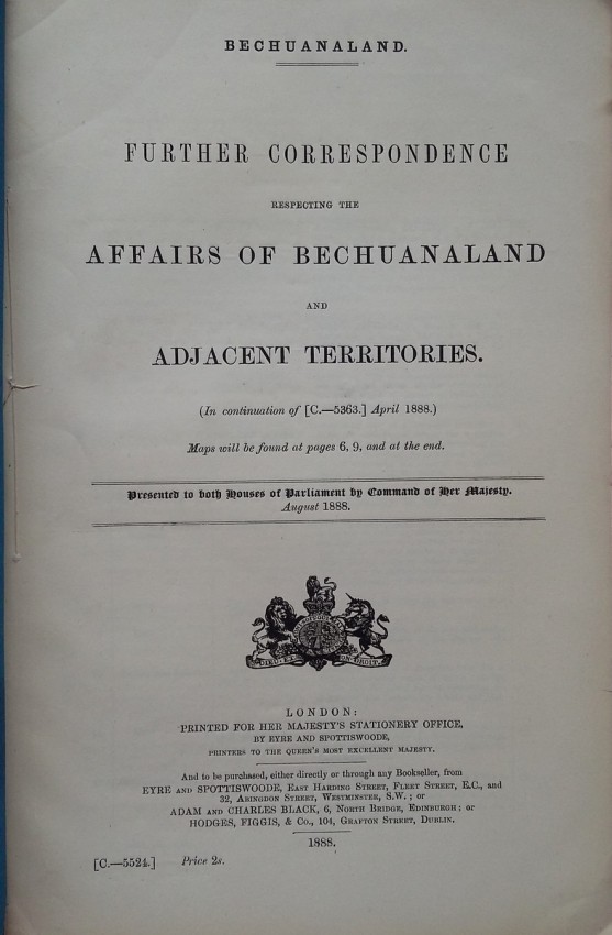
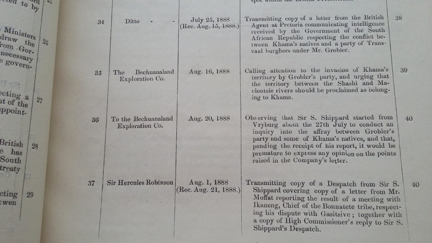
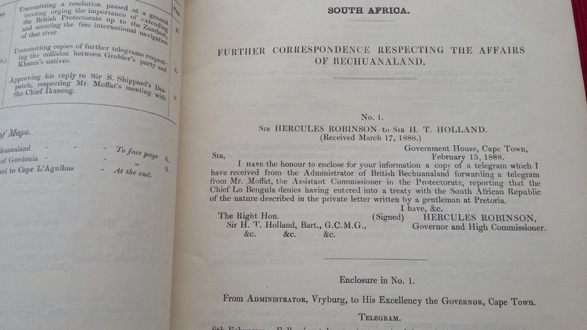
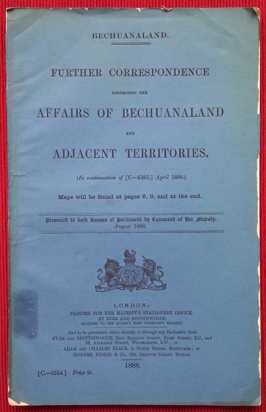
Blue paper wrappers; Collation complete - 44 pages + 3 coloured folding maps (43 x 33 cm); British Parliamentary Paper C.-5524.; Blue paper wrappers are fragile, but the content is in near fine condition, with only a bit of usual yellowing. Folding maps are intact.
- Binding Condition: Very good
- Overall Condition: Very good
- Size: 33 x 21 cm
- Sold By: The Antiquarian Book
- Contact Person: Mariana Deric
- Country: Croatia
- Email: [email protected]
- Telephone: 0917552163
- Preferred Payment Methods: Paypal (no additional charges); Bank (WIRE) transfer via IBAN/BIC/SWIFT
- Trade Associations: AA Approved


