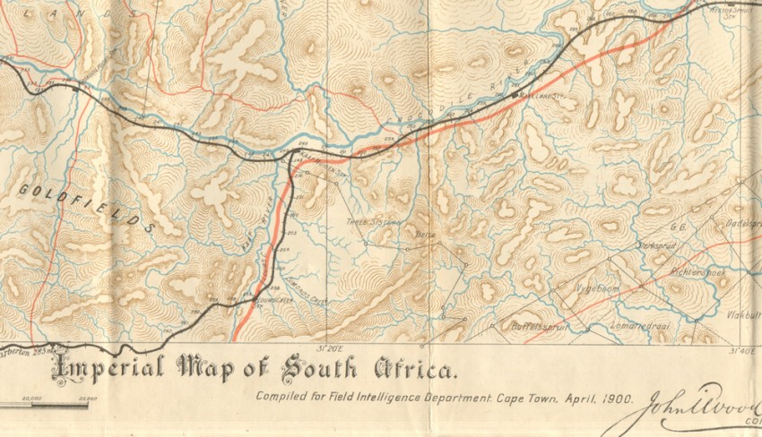
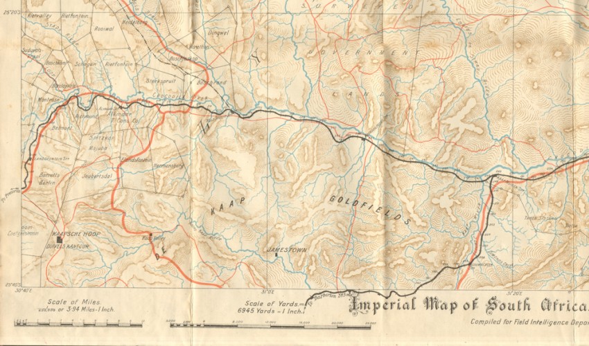
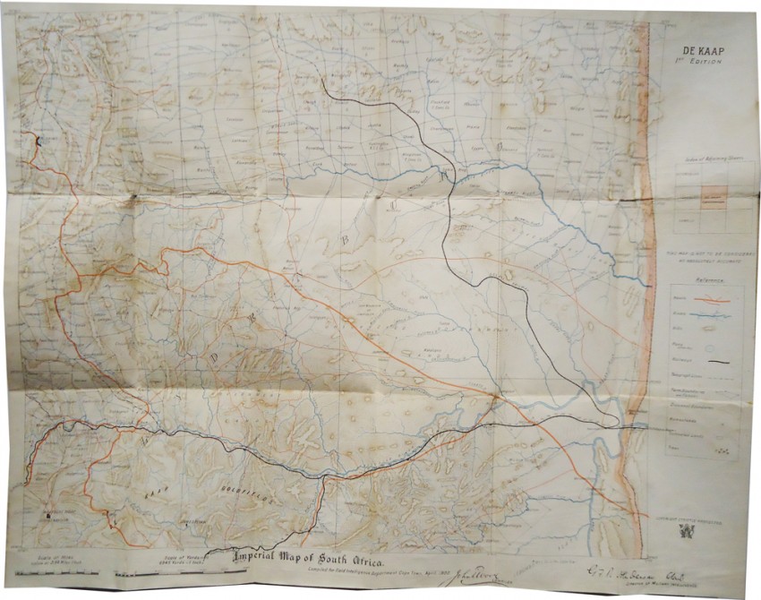


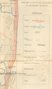
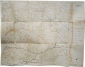
Compiled for Field Intelligence Department, Cape Town, April, 1900. John Wood, Compiler.
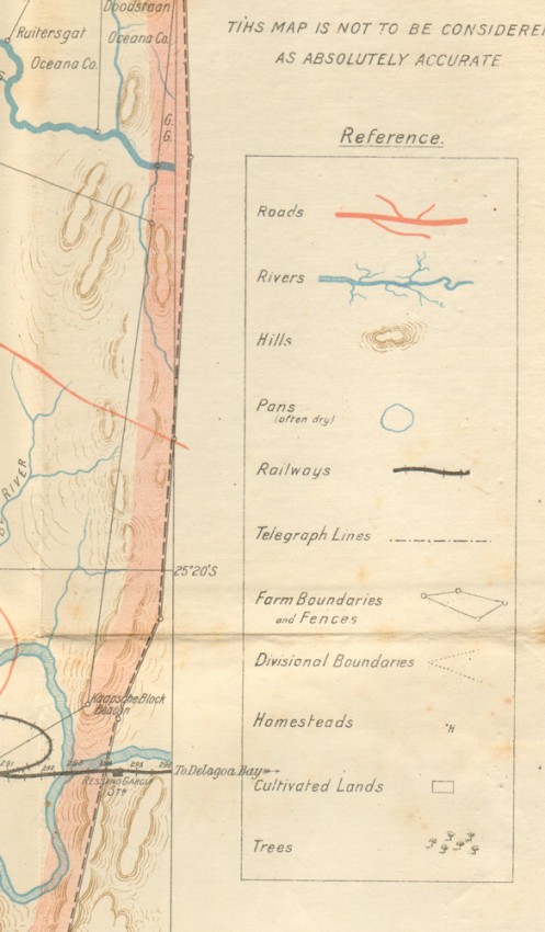
502 x 632 mm, roads printed in red, railways in black, rivers in blue, individual farms are named, mounted on linen and not folded.
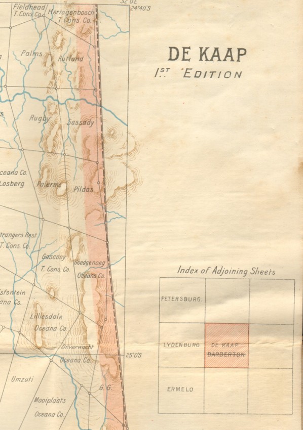
Shows the De Kaap Goldfields along the Crocodile River.
- Overall Condition: Very good
- Size: 502 x 632 mm
- Sold By: Clarke's Africana & Rare Books
- Contact Person: Paul Mills
- Country: South Africa
- Email: [email protected]
- Telephone: 021 794 0600
- Preferred Payment Methods: Visa & Mastercard via PayGate secure links and Bank transfers.
- Trade Associations: ABA - ILAB, SABDA


