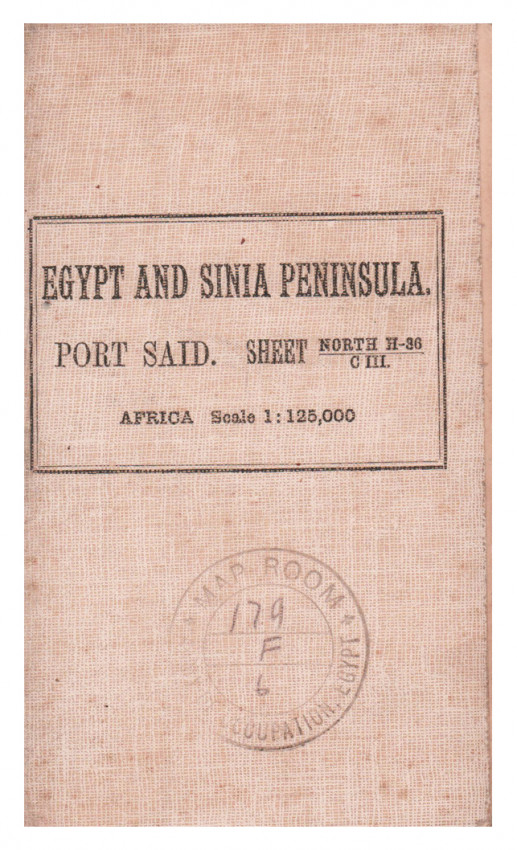

Port Said :
Africa 1:125,000, sheet North H-36/C-III
Partially coloured map (630 x 560 mm) mounted on linen which folds into a cream cloth folder with an illegible uncancelled stamp on the upper cover, a very good copy.
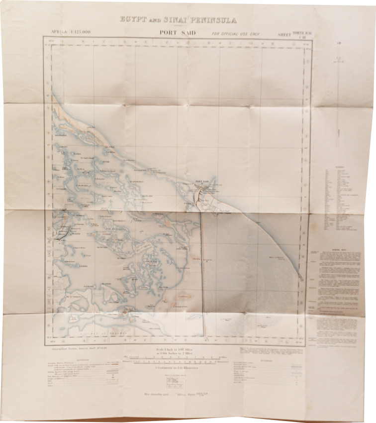
Printed on the map: Geographical Section, General Staff, no. 2230 ; west of the Canal surveyed by the Egyptian Survey Department, 1911-13, military information supplied by G.S.O., Cairo ; east of Canal surveyed in 1911 under arrangements between the War Office and the Egyptian Survey Department ; drawn and printed at the War Office, 1913.
A single sheet from the topographical map series covering the area around the Egyptian city of Port Said and the northern section of the Suez Canal. Shows the Mediterranean Sea coastline,road, railway and stations, post and telegraph offices, police station at Mataria, ruins, the Suez Canal from Port Said south to Tina station, Lake Manzala, wetland and sand areas. Includes index to adjoining sheets, and general notes on nature of country, etc. "For official use only".
- Overall Condition: A very good copy
- Sold By: Clarke's Africana & Rare Books
- Contact Person: Paul Mills
- Country: South Africa
- Email: [email protected]
- Telephone: 021 794 0600
- Preferred Payment Methods: Visa & Mastercard via PayGate secure links and Bank transfers.
- Trade Associations: ABA - ILAB, SABDA


