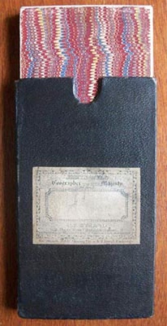
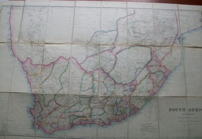

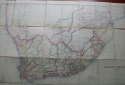
Folded Map, backed to lined in dark brown slipcase with original label.24 folded panels to this scarce map of South Africa.
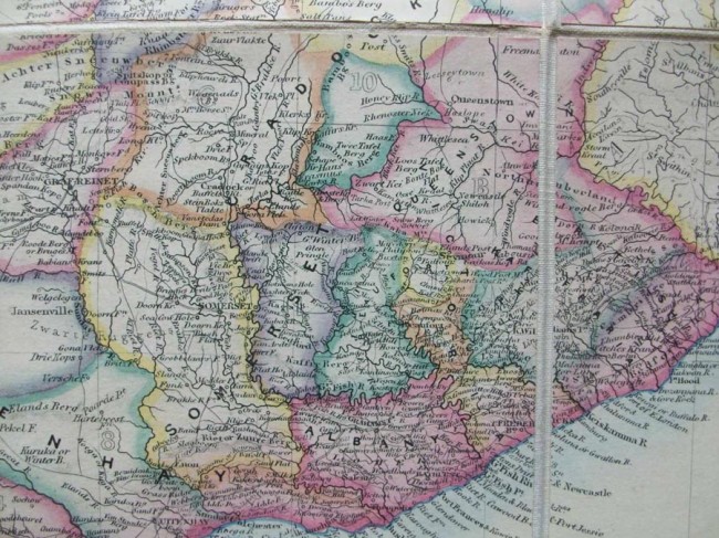
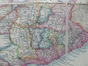
With twenty Counties depicted from the Eastern Coastline south of Natal-9 Counties of Natal and 12 Counties of the Cape Colony Western Division.Coloured divisions to borders-Portuguese Border areas to Kalahari-Namaqualand-Walvisch Bay...Contained in marbled ended folded pack, with James Wyld original label.
- Jacket Condition: Linen Folds-Very Good
- Binding Condition: Very Good
- Overall Condition: Very Good
- Size: 850 X 590mm approx
- Sold By: Quathlamba Winds Books
- Contact Person: Ian & Yvonne Halford
- Country: United Kingdom
- Email: [email protected]
- Telephone: 01743 361772
- Preferred Payment Methods: Paypal-Cheques-Direct Transfer to UK Bank.
- Trade Associations: SABDA


