
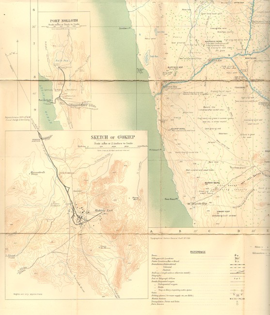
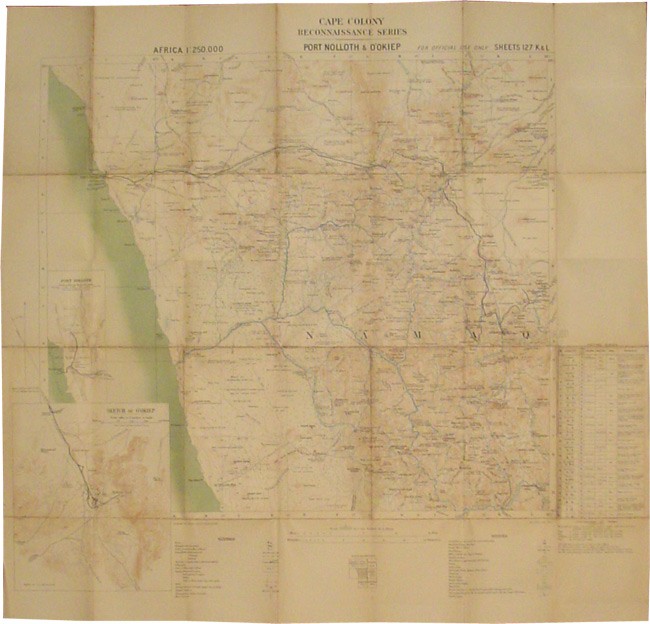

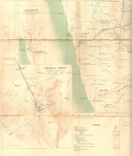
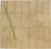
Rietfontein, Orange River Mouth, Stinkfontein, Warmbad, Schuit Drift, Kakamas, Upington, Langeberg, Griquatown, Kimberley, Port Nolloth & O’Okiep, Pella, De Tuin, Kenhardt, Prieska, Strydenburg, Bowesdorp, Brandvlei, Van Wyk’s Vlei, Carnavon, Britstown, Philipstown, Williston, Fraserburg, Loxton & Victoria West. (lacking Little Bushmanland, Hope Town, Kamiesberg & Naauwpoort).
Printed on paper and mounted on linen, coloured in relief, sketches as insets, the maps fold into brown cloth covers – the covers are soiled and several of the maps are browned and with some foxing and tears and the folds.
Scale – 250,000 or 1.014 Inches to 4 miles, Average size 600 x 550 mm.
- Sold By: Clarke's Africana & Rare Books
- Contact Person: Paul Mills
- Country: South Africa
- Email: [email protected]
- Telephone: 021 794 0600
- Preferred Payment Methods: Visa & Mastercard via PayGate secure links and Bank transfers.
- Trade Associations: ABA - ILAB, SABDA


