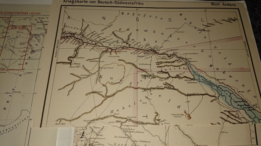
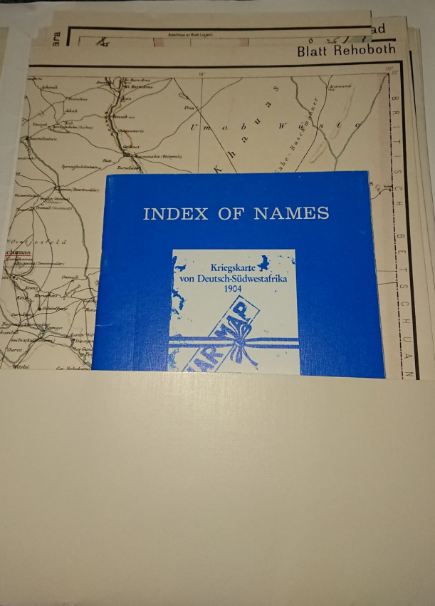
Windhoek Archives Publication Series, Windhoek, 1994, (1904.) Very Good pictorial card covers. War Map 1 : 800 000. A set of nine maps. 8 sheets, each 305 x 700 mm, coloured, loose in a card folder plus a separate Index of Names which accompanies the maps comprising of 38 pages in printed blue wrappers. Facsimile reprint. The maps are encased in a gatefold folder, which is marked with fake staining. The inside contents (the maps) are in perfect condition.The Index of Names Windhoek Archives Publication. Card covers. Condition: Very Good. Introductory text in English. Lists of names, some translated. 38 pages including reference map.
When the Herero War broke out in January 1904 the German Schutztruppe found that their maps of the country were inadequate. The General staff in Berlin commissioned the urgent compilation of a map that would provide the most comprehensive information available. The outcome within five weeks was a complete map of the country.The map was reprinted as volume 6 of the National Archives Publication series Archaeia. The first is a map of the entire country ( Namibia) with a lattice overlay dividing the territory into eight parts. The other eight maps are namely Zesfontein, Owambo, Otavi, Windhoek, Rehoboth, Keetmanshoop, Warmbad, Andara.
- Jacket Condition: N/A
- Binding Condition: Very Good
- Overall Condition: Very Good
- Size: Folio ( 5¾" Wide and 8½)
- Sold By: White Eagle Books
- Contact Person: Andrew Saidi
- Country: United Kingdom
- Email: [email protected]
- Telephone: 020 8997 9894
- Preferred Payment Methods: Paypal
- Trade Associations: PBFA IOBA


