

xxii plus 638pp. Buckram Hardcover with copper title to spine. With Map and illustrations.
Light cracking to EP hinges. The large fold-out map has a two inch stress-tear to the tip-in joint aswell as a few creases. The rest of the book is in remarkably good condition.
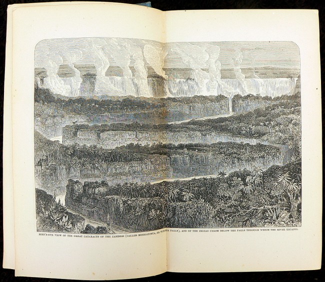
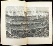
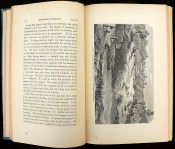
"It has been my object in this work to give as clear an account as I was able of tracts of country previously unexplored, with their river systems, natural productions, and capabilities; and to bring before my countrymen, and all others interested in the cause of humanity, the misery entailed by the slave-trade in its inland phases - a subject on which I and my companions are the first who have had any opportunities of forming a judgement." - from Preface. "There must be something in the appearance of white men frightfully repulsive to the unsophisticated natives of Africa; for, on entering villages previously unvisited by Europeans, if we met a child. he would take to his heels in an agony of terror, such as we might feel if we met a live Egyptian mummy at the door of the British Museum."- from page 199.
Fold-out map measures 24" wide by 17" high and is entitled "The River Shire, The Lakes Nyassa & Shirwa, The Lower Courses of the Rivers Zambesi & Rovuma" - based on the Astronomical observations and sketches of Dr. Livingstone, Constructed by John Arrowsmith, 1865. The routes of Dr. Livingstone and the Officers of the expedition are indicated in red.
- Binding Condition: Very good
- Overall Condition: Very good
- Size: 240mm x 160mm x 46pp
- Sold By: Booktown Africana
- Contact Person: Chris Shelton
- Country: South Africa
- Email: [email protected]
- Telephone: 0685615292
- Preferred Payment Methods: Internet banking transfer (EFT), PAYPAL. Regret no Credit Card facility.
- Trade Associations: AA Approved


