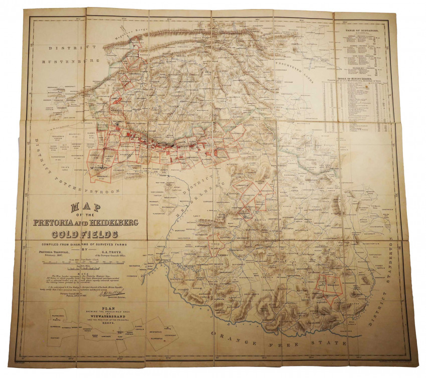
Compiled from diagrams of surveyed farms
700 x 760 mm, partly coloured, mounted on linen in panels, inset plan showing the proclaimed area at Witwatersrand and the position of the principal reefs, table of distances and index of mining leases, some ink annotations, folds into original green cloth covered boards, the cloth has marks on the covers, and the spine is worn, a good copy.
The map was certified as correct by G.R. von Wielligh, Surveyor-General of the South African Republic, and contains a facsimile of his signature and address, and dated 20th February, 1887. A note states that, 'All farms on which payable Gold has been discovered have been marked with a coloured border, and the small plots equally coloured represent the mining leases granted by Government.' In addition, the borders of every farm between the Vaal River and the Magaliesburg are indicated, for a distance of 200 km east to west. Includes an index of the mining leases furnished by J.J. Meintjes, Registrar of Deeds.
Lithographed by Edward Weller in London
- Overall Condition: A good copy
- Sold By: Clarke's Africana & Rare Books
- Contact Person: Paul Mills
- Country: South Africa
- Email: [email protected]
- Telephone: 021 794 0600
- Preferred Payment Methods: Visa & Mastercard via PayGate secure links and Bank transfers.
- Trade Associations: ABA - ILAB, SABDA


