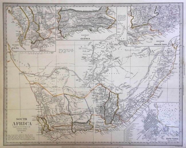
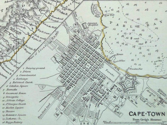
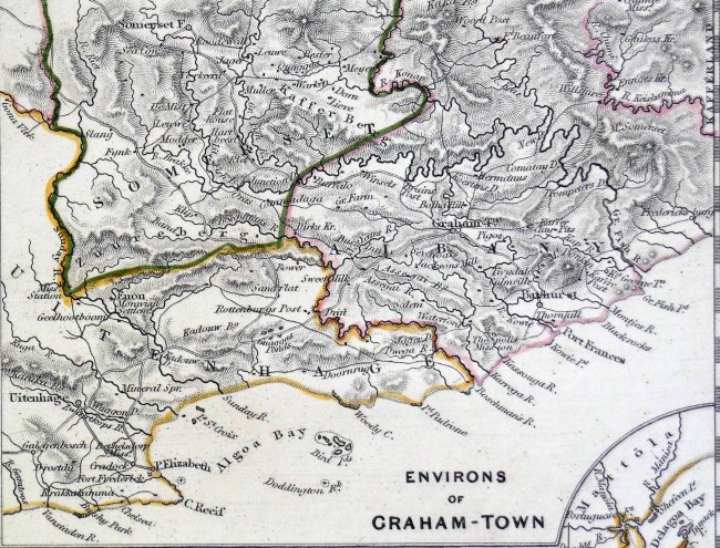
A map of South Africa, as it was known in 1834, with Fort Beaufort, Fort Willshire and Fredericksburg being shown as the easternmost outposts of British influence. It is the earliest map I have seen on which the military village of Fredericksburg is shown. The borders of the administrative districts were outlined in colour by hand. The areas around Grahamstown, George, and the Cape of Good Hope are shown enlarged at the top of the map and a large scale map of Cape Town is inserted at the bottom right. The map was published by Baldwin & Cradock, under direction of the SDUK. The details were obtained from various sources, which are fully acknowledged on the map. Printed by gravure, there is a small flaw from the coast between Cape St Francis and Plettenberg Bay, extending upwards but destroying very little detail. The map was mounted, in about 1975, on thick card with no apparent ill effects
The "Society for the Diffusion of Useful Knowledge" (SDUK) was an organization, founded in 1828, at the instigation of the idealistic Scot, Henry Peter Brougham. He became Lord Chancellor in 1830, in the government of Earl Grey, and was later raised to the peerage as the first Baron Brougham and Vaux. The admirable goal of the Society, was to distribute useful information via a series of publications to the English working and middle classes. The Society failed to achieve many of its lofty goals and closed its doors in 1848, but managed to publish several extraordinary atlases of impressive detail and sophistication. The maps remain among the most impressive examples of mid-19th century English mass market cartographic publishing available.
- Overall Condition: Good
- Size: Printed area measures 31.5x39cm
- Sold By: Books of the Koonap
- Contact Person: Grey de Villiers
- Country: South Africa
- Email: [email protected]
- Telephone: 046 684 0553
- Preferred Payment Methods: EFT and PayPal
- Trade Associations: AA Approved


