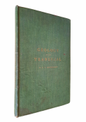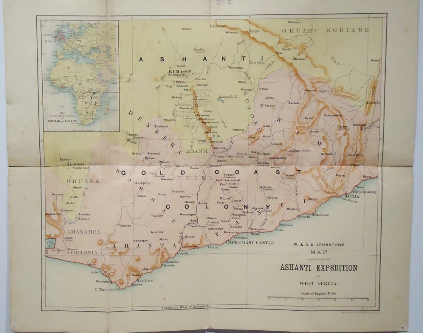
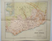
1 folding coloured map simply repaired with tape, size (450 x340mm) published in Edinburgh by the Johnston Brothers in 1895.
There is a brief text description at the back of the map on the Ashanti region.
Together with:
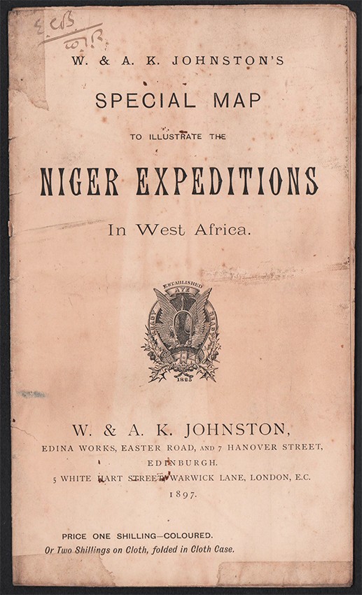
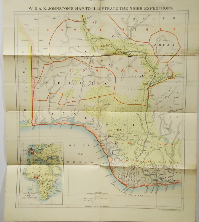
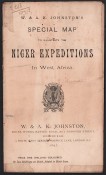
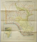
SPECIAL MAP TO LILLUSTRATE THE NIGER EXPEPDITONS IN WEST AFRICA 1 coloured folding map simply repaired with tape and slightly torn at the first fold, size 510 x340mm- published in Edinburgh by the Johnston Brothers in 1897.
There is a brief text description at the back of the map on the Royal Niger Company's Expedition and the Benin Expedition.
The firm of W. & A.K. Johnston was to become one of the major publishing houses of the 19th century. Co-founders, brothers William and Alexander Keith (1804-1871) Johnston, started out as apprentices to the Scottish globe maker and publisher James Kirkwood in his Edinburgh workshop. Having learned their trade there, they set up their own business, also in the city.
The Johnstons very astutely acquired the established Scottish printing publishing house of William Lizars, and began, first printing by contract, and slowly expanding their repertoire into not only maps, but also atlases, gazetteers, guide books, globes and much more. In amongst the brothers' many achievements, and one of their major claims, was that of the first physical globe, which won them a number of awards at the Great Exhibition of 1851. The globe-making element of the business continued well into the 20th century on both sides of the Atlantic.
Some of the Johnston's exceptional map collections include the National Atlas of General Geography, first struck in 1843, The Handy Royal Atlas of Modern Geography published 1874, various scientific and statistical atlases, such as Johnston’s School Astronomical Atlas (1877), The Statistical Atlas of England and Wales (1882) and The Royal Atlas of Modern Geography. The business continued to function under the Johnston name until the 1960s.http://www.dg-maps.com/w-ak-johnston.html
- Size: 8vo ( 230 x130mm) folded
- Sold By: Clarke's Africana & Rare Books
- Contact Person: Paul Mills
- Country: South Africa
- Email: [email protected]
- Telephone: 021 794 0600
- Preferred Payment Methods: Visa & Mastercard via PayGate secure links and Bank transfers.
- Trade Associations: ABA - ILAB, SABDA
Similar lots in the current auction View all
Click on an item to view more details and to bid.