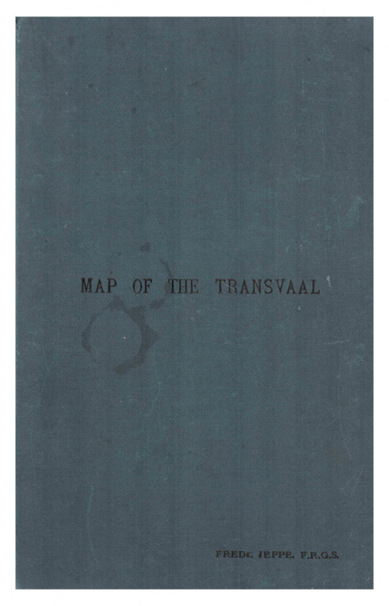
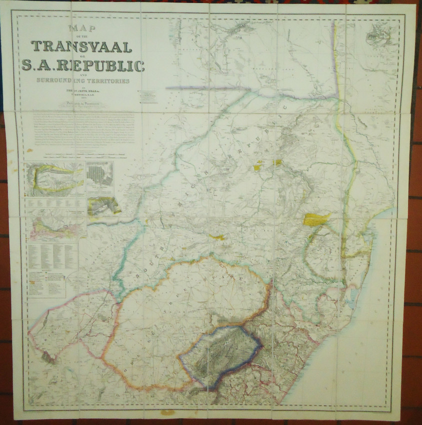
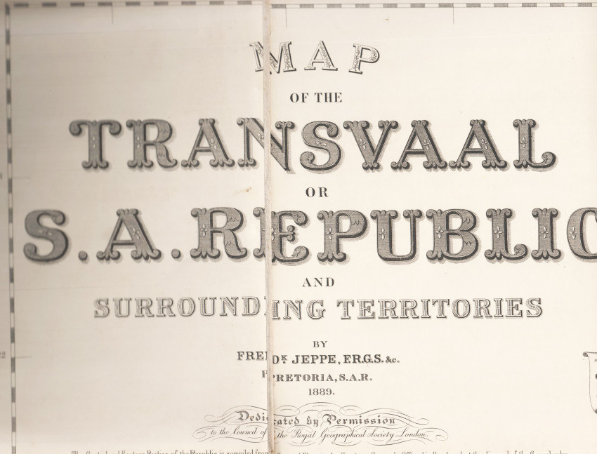
1320 x 1205 mm, dissected and mounted on linen in panels, coloured in outline, with insets of De Kaap Goldfields, Witwatersrand Goldfields, Plan of Pretoria and Suburbs & Portion of Zoutpansberg Goldfields. Folds in green cloth covers titled Map of Transvaal, Frdk. Jeppe, F.R.G.S., on the upper cover, overall the map is in good condition. Map by Fredk Jeppe F.R.G.S. etc., Pretoria S.A.R., 1889.
Dedicated by Permission to the Council of the Royal Geographical Society London. Sole Proprietor of Copyright of Jeppes Map, G.A. Troye, F.R.G.S. Transvaal Mining and Land information Office, Johannesburg, S.A.R.
- Overall Condition: A good copy
- Size: Folio (340 x220mm) folded
- Sold By: Clarke's Africana & Rare Books
- Contact Person: Paul Mills
- Country: South Africa
- Email: [email protected]
- Telephone: 021 794 0600
- Preferred Payment Methods: Visa & Mastercard via PayGate secure links and Bank transfers.
- Trade Associations: ABA - ILAB, SABDA


