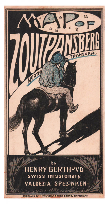
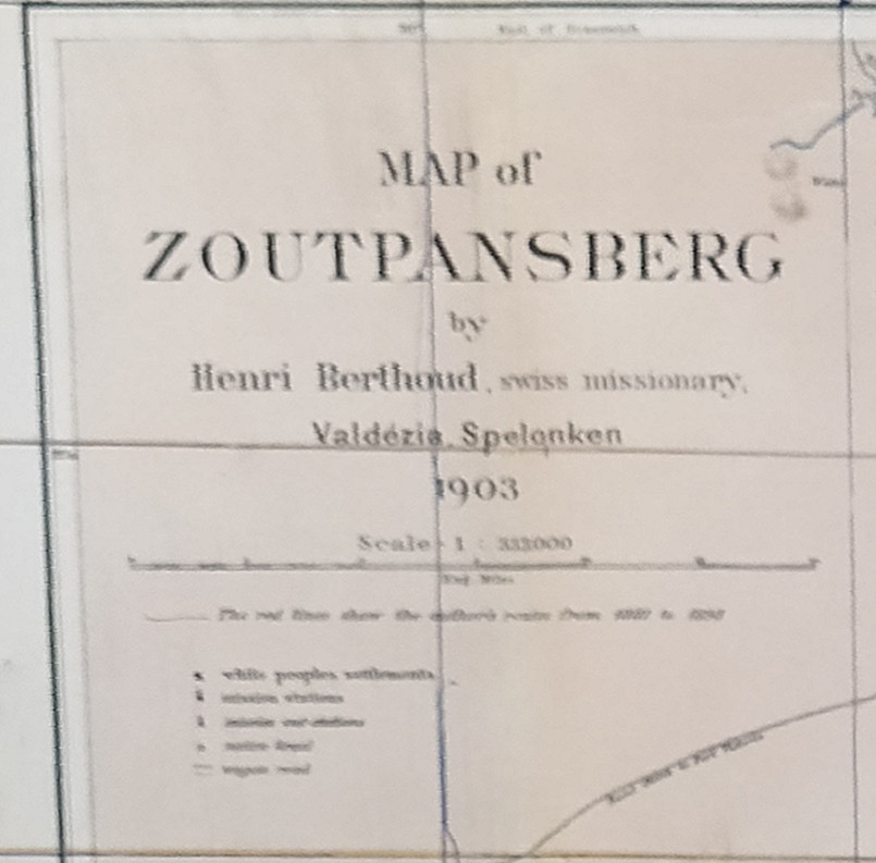

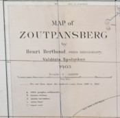
Valdézia Spelonken 1903
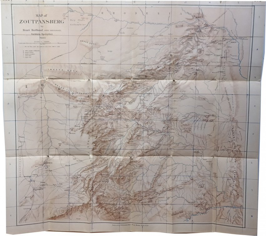
Folding map, (740 x 680 mm) partly coloured, mounted on linen, pictorial paper title label pasted down on upper fold, a good copy.
Engraved by H. Kümmerley & Frey, Berne, Switzerland.
Henri Berthoud was a Swiss missionary at Valdezia in the Spelonken. His map marks all 'white peoples' settlements', mission stations, mission out-stations, 'native kraals' and wagon roads. A red line documents every route travelled by the missionary in the northern Transvaal between 1881 and 1898.
Valdezia is a sprawling rural settlement situated at the foothills of the Soutpansberg mountain range in Limpopo Province, it was formerly known as Albasini before the Swiss Missionaries renamed it Valdezia. It is roughly 10 km east of Elim Hospital in the Hlanganani district in the former Gazankulu homeland, South Africa. It was the site of a Swiss mission station, and it was named after the Swiss canton of Vaud. https://en.wikipedia.org/wiki/Valdezia
- Overall Condition: A good copy
- Sold By: Clarke's Africana & Rare Books
- Contact Person: Paul Mills
- Country: South Africa
- Email: [email protected]
- Telephone: 021 794 0600
- Preferred Payment Methods: Visa & Mastercard via PayGate secure links and Bank transfers.
- Trade Associations: ABA - ILAB, SABDA


