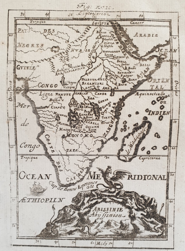
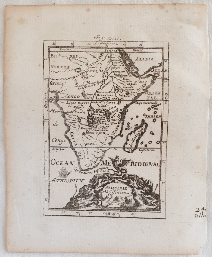
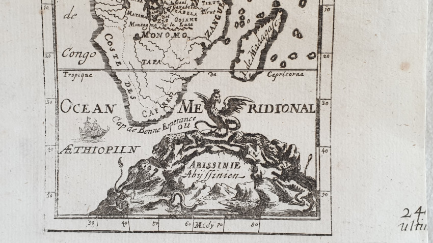
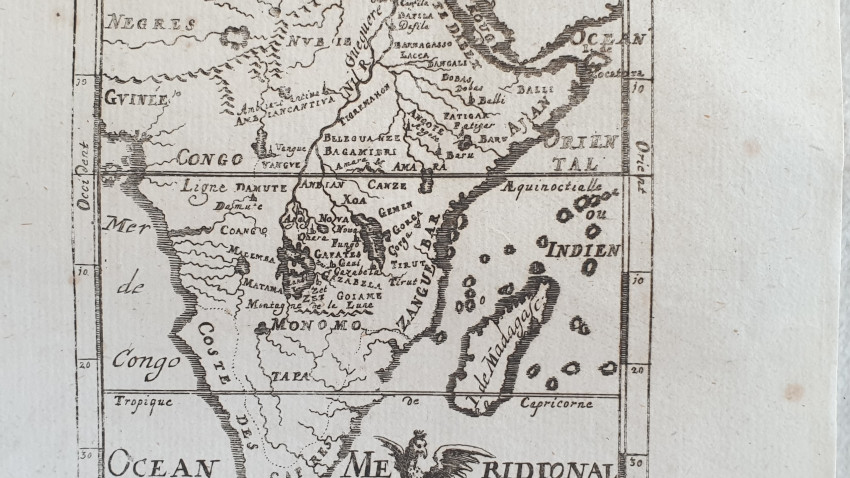
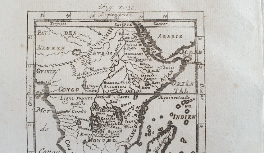
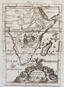


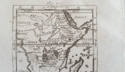
View of South Africa of 1719 by Allain Manesson Mallet (1630-1706). There is also the island of Madagascar and the indication of Cape of Good Hope
In good conditions.
Author: Mallet Allain Manesson (1630-1706)
Atlas: Beschreibung / des gantzen / Welt = Kreyses
Date: 1719
Technique: copper engraving
Leaf Dimension: 20x16,5 cm (7.9x6.5 inches)
Engraving Dimension: 14,5x10,5 cm (5.7x4.1 inches)
Conditions: Good conditions. Occasional foxing.
Shipping cost to South Africa: slow tracked shipping with NL Post: $ 10, Fast shipping with express courier: $ 32
Shipping cost to USA: slow tracked shipping with NL Post: $ 7.5, Fast shipping with express courier: $ 21
Shipping cost to Europe: slow tracked shipping with NL Post: $ 8.7, Fast shipping with express courier: $ 12
Other destinations: Please ask!
We always combine shipping
- Overall Condition: Good
- Size: 20x16,5 cm
- Sold By: Sephora Libri
- Contact Person: Elena Serru
- Country: Italy
- Email: [email protected]
- Telephone: 3492903979
- Preferred Payment Methods: paypal credit card
- Trade Associations: Sephora di Elena Serru


