

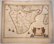

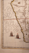
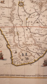
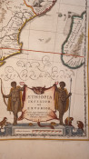
Title: “Aethiopia inferior vel exterior” from Nieuwen Atlas
Amstelodami, Sumptibus Joannis Janssonii 1650 circa
Sheet size: 18.97 x 23.81 in; 482 x 605 mm.
Plate area: 15.47 x 20.08 in; 393 x 510 mm.
Technique: Copper engraving
Overall condition: Excellent condition, with light foxing.
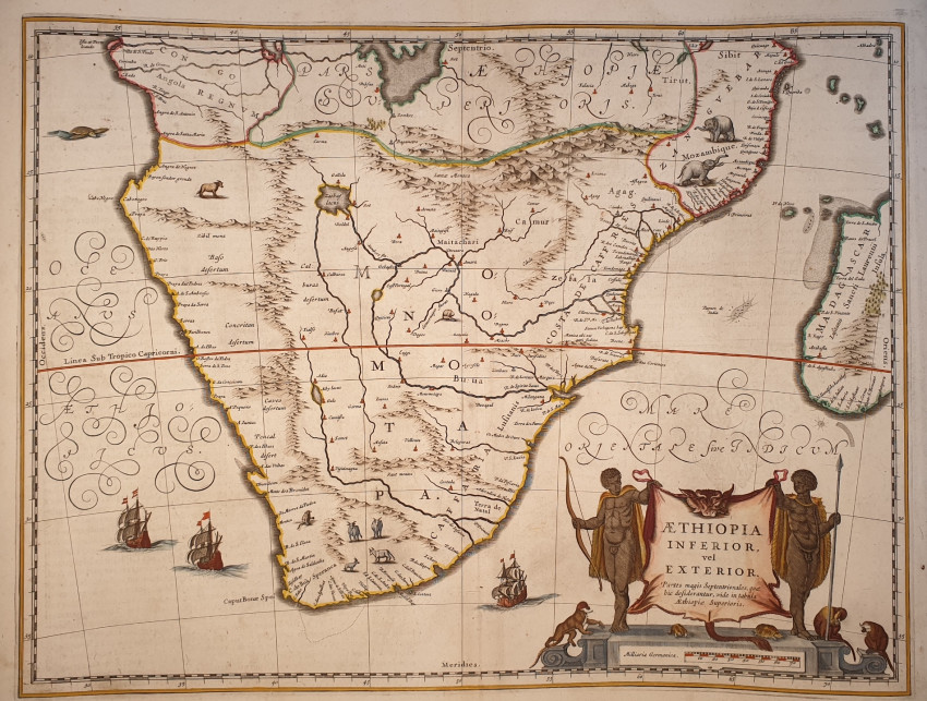
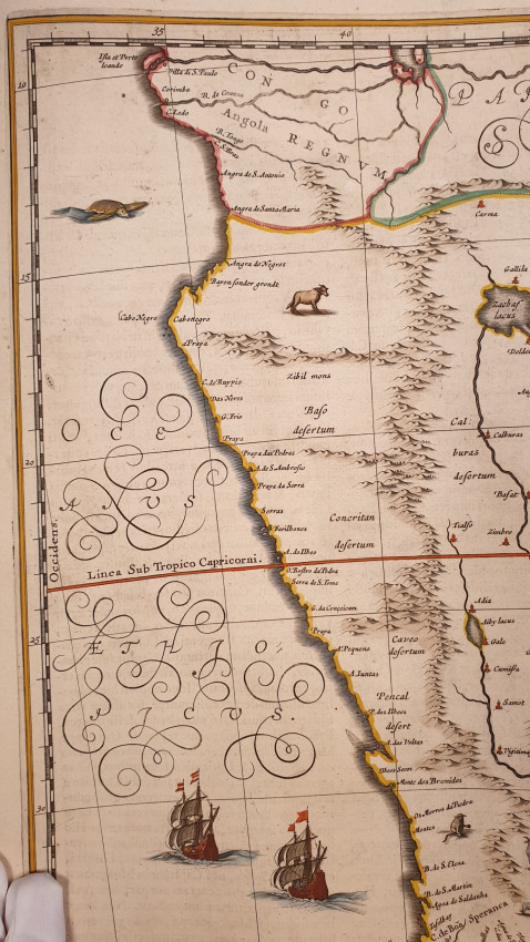
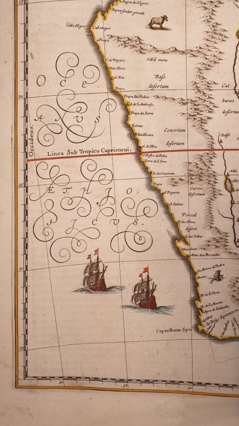
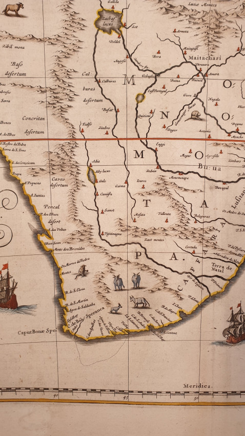
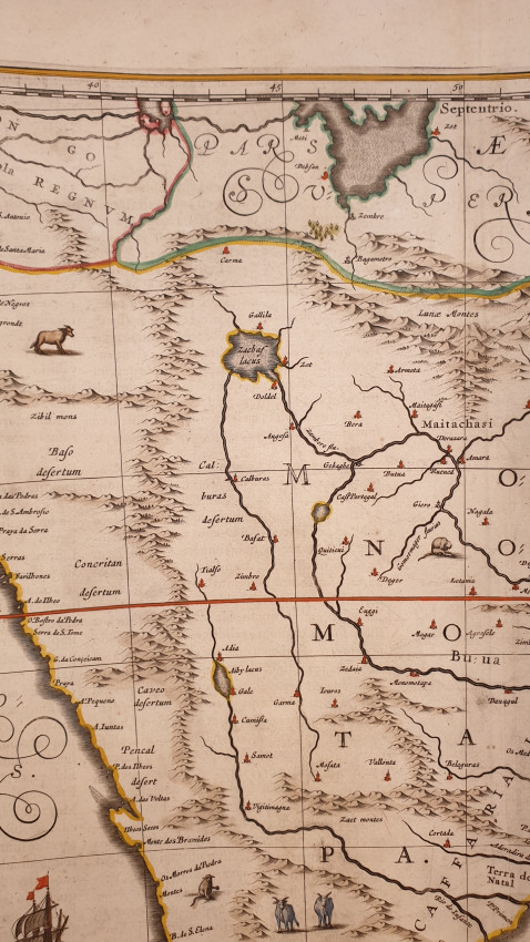
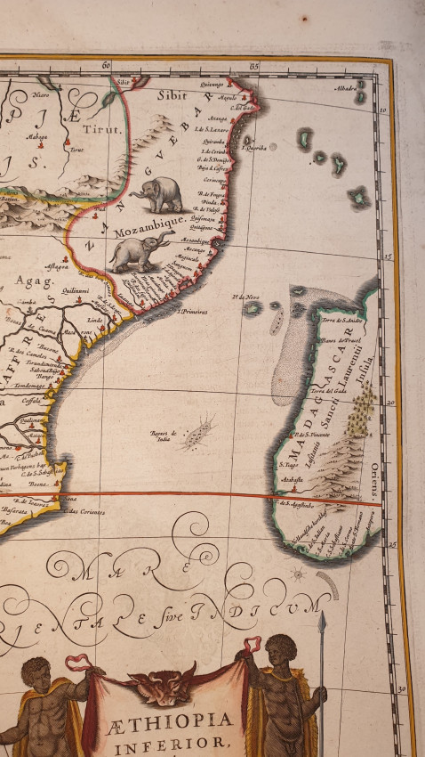
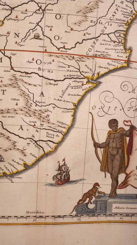
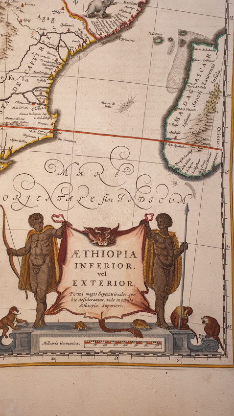
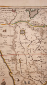
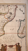
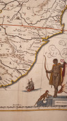
A wonderful large scale hand-colored map of South Africa, from one of the great early 17th-century Atlas "Nieuwen Atlas" [translation: The New Atlas], by Jan Jansson, published in Amsterdam in 1650 circa.
The map shows a general view of South Africa with representation of mountains and animals.
Different ships in the middle of the sea.
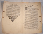
Complete description of South Africa in latin language in the verso.
Jan Jansson was part of an influential family of map publishers from the Netherland throughout the 17th century and beyond. They were based in Arnhem than in Amsterdam. They were printers, publishers and booksellers.
Overall Condition: Excellent
Economy shipping: South Africa: $11 (10-15 working days)
USA Canada and the rest of the world $10 (10-15 working days)
UE $9 (5-8 working days).
- Overall Condition: excellent conditions
- Size: 18.97 x 23.81 in
- Sold By: Sephora Libri
- Contact Person: Elena Serru
- Country: Italy
- Email: [email protected]
- Telephone: 3492903979
- Preferred Payment Methods: paypal credit card
- Trade Associations: Sephora di Elena Serru


