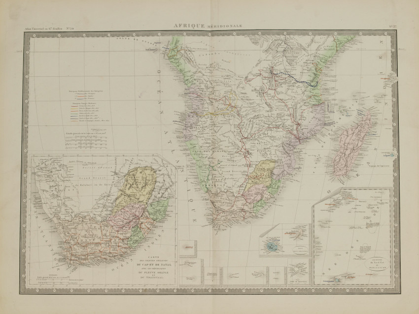
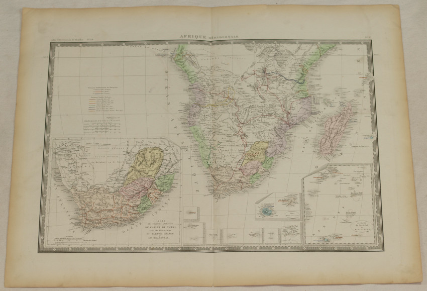
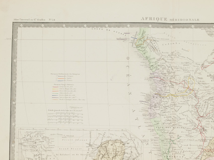
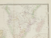
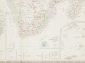
Very beautiful map of South Africa, colored by hand, big size. Two detailed enlargement of English colonies of Cap and Natal with Republics of Orange River and Transvaal and North East Archipelago of Madagascar.
Author: Brue, Adrien Hubert (1786-1832) review by Levasseur F.
Atlas: Atlas universel de géographie physique, politique, ancienne et moderne Edict. Levasseur
Date: 1875
Technique: etching on steel
Leaf Dimension: 48x61 cm (18.9x24 inches)
Engraving Dimension: 37,5x53,5 cm (14.8x21.1 inches)
Conditions: Very good conditions. Little tear in the foot edge. Vertical folding of the page.
- Overall Condition: Very good conditions
- Size: 18.9x24 inches
- Sold By: Sephora Libri
- Contact Person: Elena Serru
- Country: Italy
- Email: [email protected]
- Telephone: 3492903979
- Preferred Payment Methods: paypal credit card
- Trade Associations: Sephora di Elena Serru

Similar lots in the current auction View all
Click on an item to view more details and to bid.

