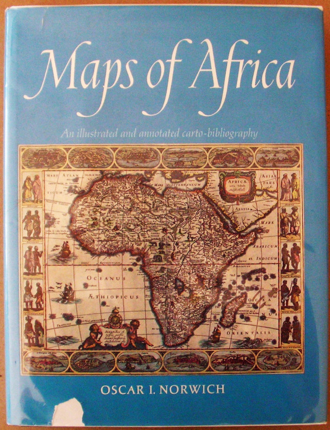
4to; original blue cloth, lettered in gilt on spine; pictorial dustwrapper, housed in removable protector; decorative endpapers; pp. 444, incl. index; profusely illustrated with pictures of old maps, some of which in full colour. Small piece torn from bottom edge of dustwrapper's upper panel; earlier owner's bookplate to fly-leaf; some faint foxing to edges. Very good condition.
"This book, the result of many years collecting and research, is designed to provide an illustrated guide to maps of Africa for collectors as well as for those with a more general interest in the art. The maps are all individually illustrated, each with its own carto-bibliography. They have been subdivided into sections dealing with the Continent of Africa, Southern Africa, the Cape of Good Hope, Sea Charts, North, East and West Africa, and Islands, Town Plans and Ports."
- Jacket Condition: Good
- Binding Condition: Very good
- Overall Condition: Very good
- Size: 4to
- Sold By: Christison Rare Books
- Contact Person: Lindsay Christison
- Country: South Africa
- Email: [email protected]
- Telephone: 073 290 2830 / 041 371 4844
- Preferred Payment Methods: EFT, Paypal, Secure card facilities
- Trade Associations: SABDA, IOBA


