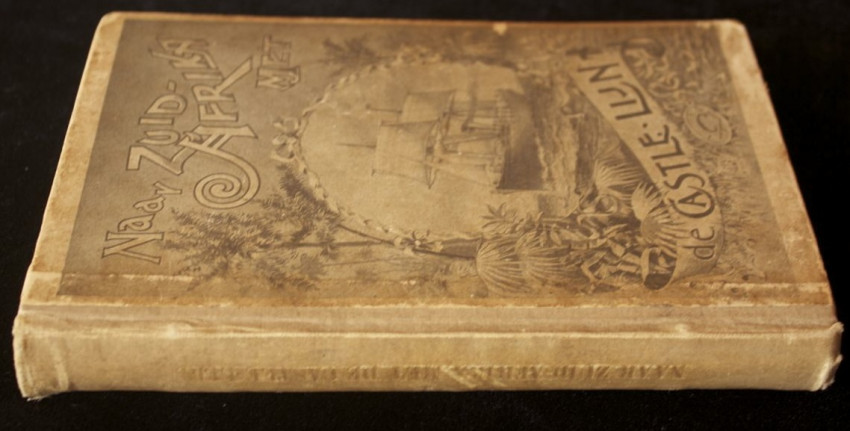


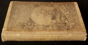
A reasonably good copy with clean text although the binding is a bit shaken.
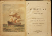
234pp wherein the route to the Cape is described.
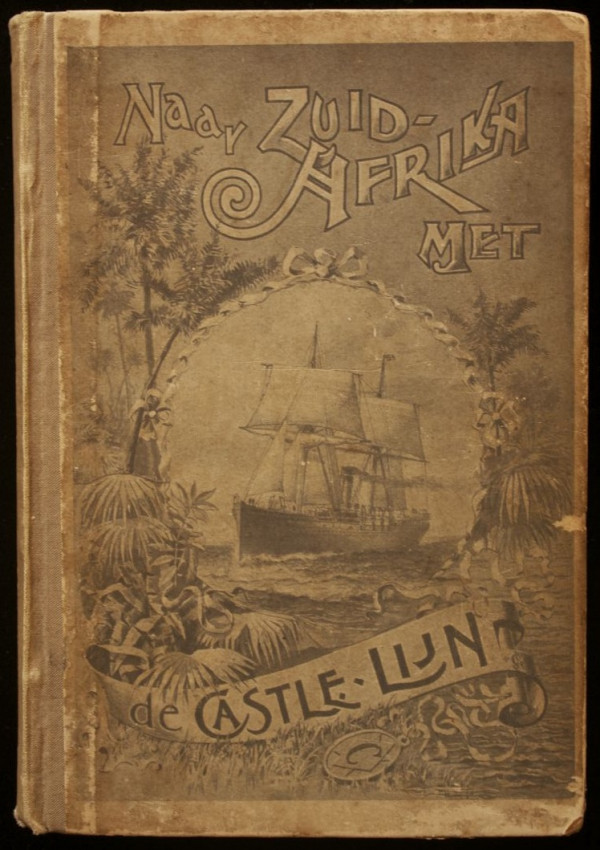
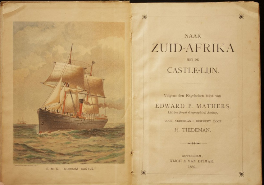
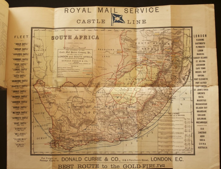
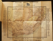
Contains a lot of information about South Africa of the year 1889, including the Goldfields. There are numerous black & white illustrations and a frontispiece in colour of the Norham Castle. Large fold-out map of South Africa in colour
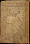
Publisher's cloth and paper-covered binding with illustrated front panel and a map of Africa on the rear panel depicting "The Shortest Route to the Goldfields of South Africa".
This first Dutch edition was published ten years before the second English edition. H. Tiedeman translated the text from English to Dutch.
- Sold By: Rare Paper
- Contact Person: Armandt Marais
- Country: South Africa
- Email: [email protected]
- Telephone: 0741235861
- Preferred Payment Methods: EFT, Bank Deposit. For International Customers: Paypal with 6% surcharge, International Transfer
- Trade Associations: A. A. Approved


