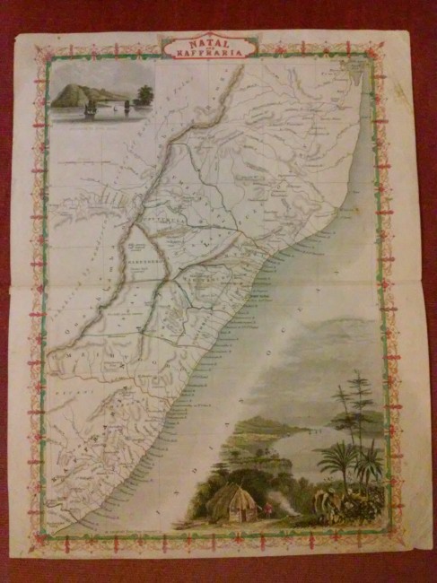

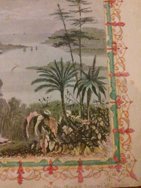


Steel engraved and hand-coloured map from the famous Victorian publisher John Tallis, well-known for the attractive vignette views surrounding the maps, which illustrate the peoples & customs of that region.
Size: 23 x 32cm plus margins (28 x 35.5cm full size). Decorative border, period outline colour, good condition.
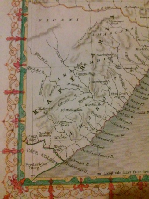
With vignettes of entrance to Port Natal, and a breakdown of Natal into the various areas such as Umzimvoobu, Ingali, Kaffraria, Umzimkulu, Maritzburg, Umzinyati, etc... and details of river outlets. Engraved for R. Montgomery Martin's Illustrated Atlas.
Condition: evenly age-toned, with light creasing and scuff marks, edges showing a few minor chips. A bookfold is visible at the halfway point. A few pencil notations appear on the verso which is otherwise blank.
- Overall Condition: good
- Size: 23 x 33cm plus margins
- Sold By: Imagine Books
- Contact Person: Steven Duckworth
- Country: South Africa
- Email: [email protected]
- Telephone: 0833587398
- Preferred Payment Methods: EFT (local & international) via Capitec.
- Trade Associations: SABDA


