History and information.
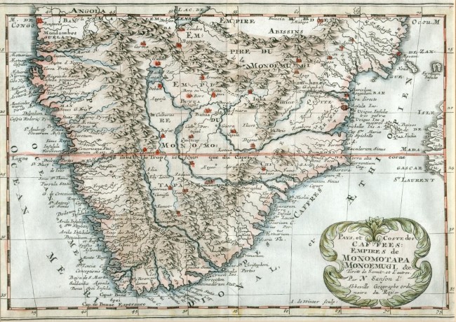
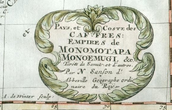
The copperplate with this map was engraved by Antoine de Winter for the L'Afrique en plesieurs cartes nouvelles, et exactes …, published in Amsterdam by Joannes Ribbus. The map is in fine condition. It was issued without colour but has subsequently been attractively coloured.
Nicolas Sanson (b. 1600) was the patriarch of the famous map-making dynasty that lasted 186 years. This map was probably designed by his son and first published by Sanson in 1656. In 1705 the map was published with a Dutch title in Utrecht by Francois Halma. Sanson drew a number of maps of Africa.
This map of southern Africa was based on the work of the Italian Sanuti brothers and also from Blaeu in the Netherlands. Much of the interior is conjectural and Sanson shows more mythical detail than in some of his Africa maps. It was commonly depicted in the seventeenth century, and in this map, that the Zambere (Zambezi) and Spiritus Rivers flowed from a common source, which has its origin in the mythical Lake Zachaf.
Monomotapa is a direct translation of the African royal title Mwenemutapa meaning prince of the realm – it is represented today by Zimbabwe and adjacent territory, while Monoemugi was thought to be a forested area in today’s Zambia. The Dutch settlement at the Cape of Good Hope (1652) is not shown on this map.
Summary: This is attractive small 17th century map that was designed by France's leading cartographer of the time and patriarch of a cartography dynasty.
- Overall Condition: Very good
- Size: 28.5cm x 20 cm
- Sold By: Thorolds Legal & Antiquarian Booksellers
- Contact Person: Kim Roberts
- Country: South Africa
- Email: [email protected]
- Telephone: 0118759991
- Preferred Payment Methods: Cash; EFT; Credit Card
- Trade Associations: Antiquarian Bookseller's Association

Similar lots in the current auction View all
Click on an item to view more details and to bid.

