Contains following folding maps and tables:
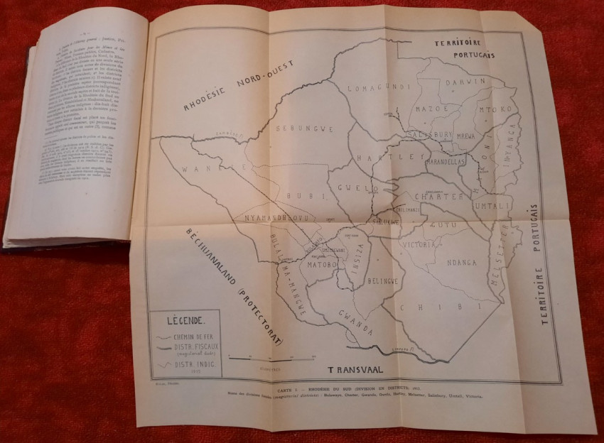
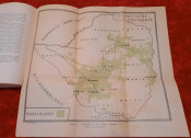
1) Folding map of South Rhodesia from 1912 (showing fiscal divisions and magisterial districts Bulawayo, Charter, Gwanda, Gwelo, Hartley, Melsetter, Salisbury, Umtali and Victoria), (44 x 43 cm)
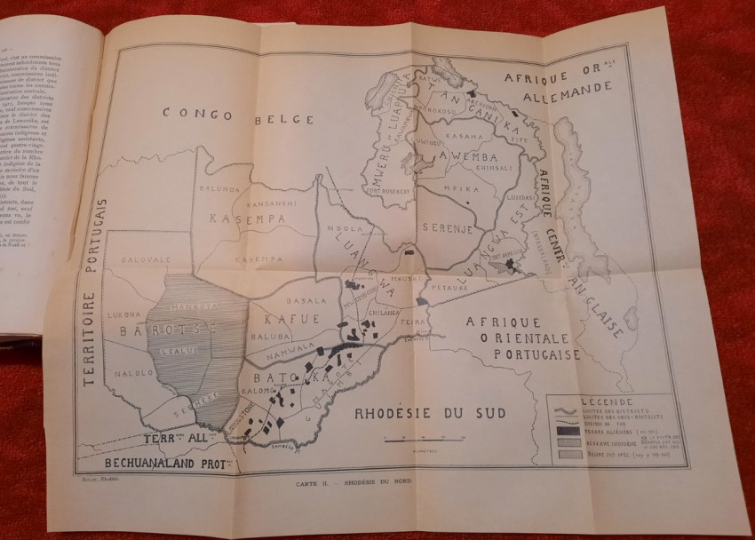
2) Folding map of North Rhodesia from 1912 (45 x 38 cm)
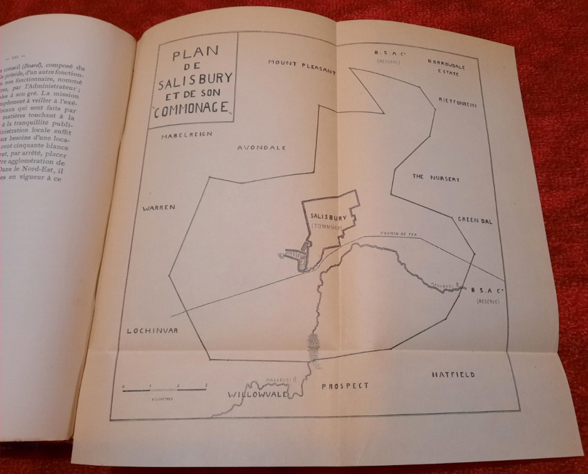
3) Folding map of Salisbury and its "Commonage" (16 x 16 cm)
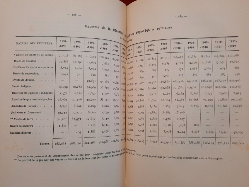
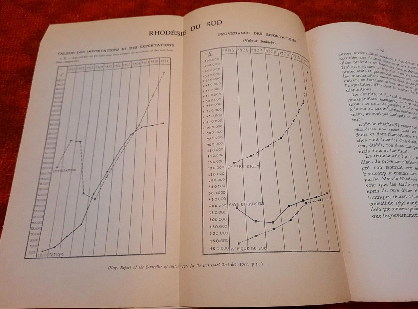
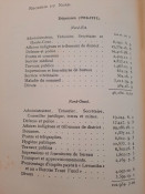
4) Folding table with Value of Imports and Exports & Origin of Imports of South Rhodesia (taken from Report of the Controller of Customs from 1911), (26 x 25 cm)
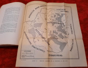
5) Folding map of indigenous reserves of South Rhodesia from 1911 (31 x 34 cm)
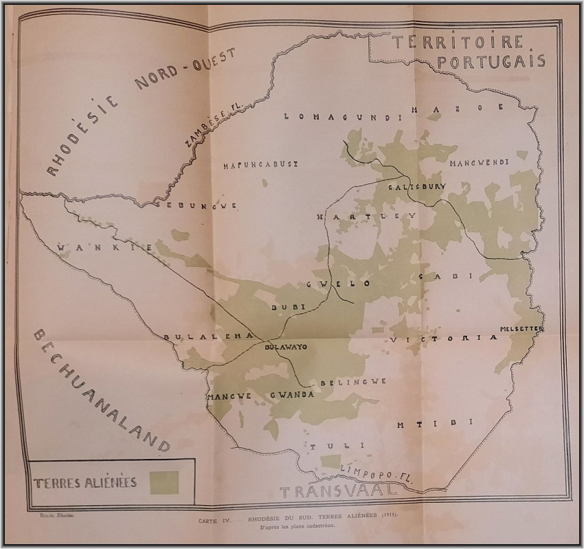
6) Folding map of "Aliens Property" of South Rhodesia from 1911 (according to cadastral maps), (41 x 38 cm)
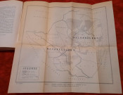
7) Folding map of Auriferous Regions (Gold Belts) of South Rhodesia from 1911 (45 x 43 cm)
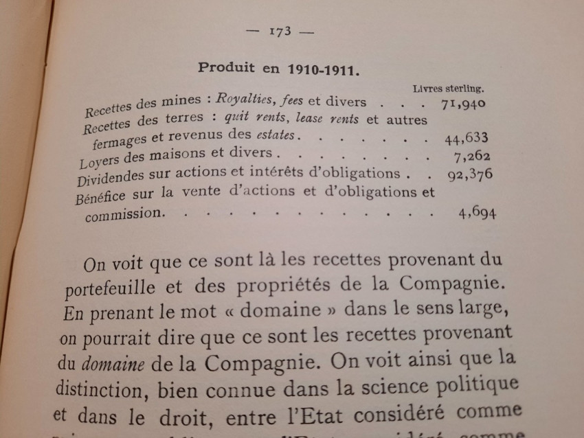
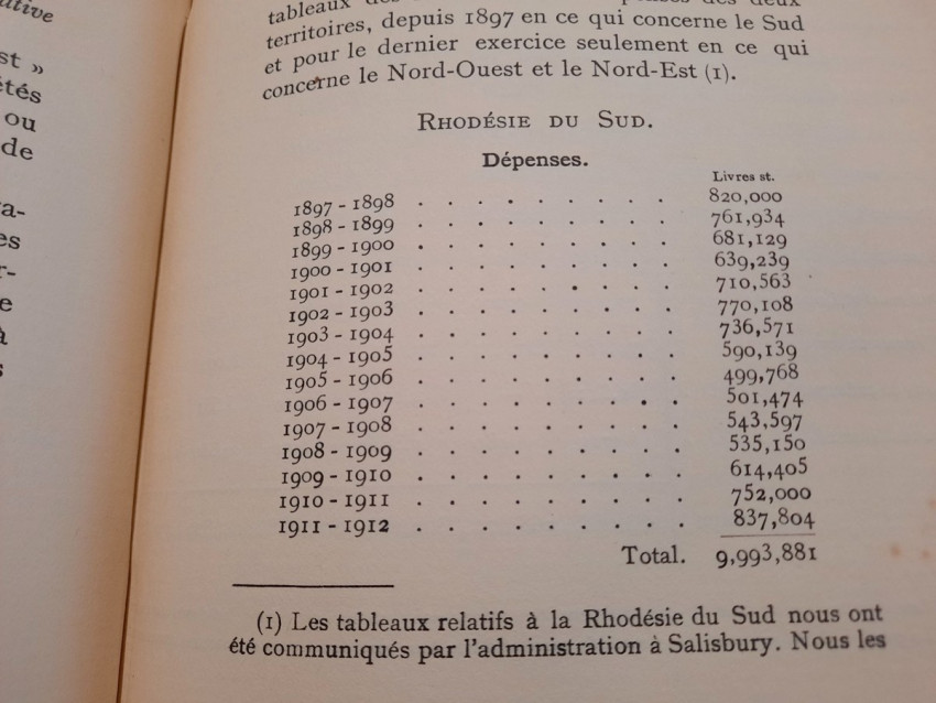
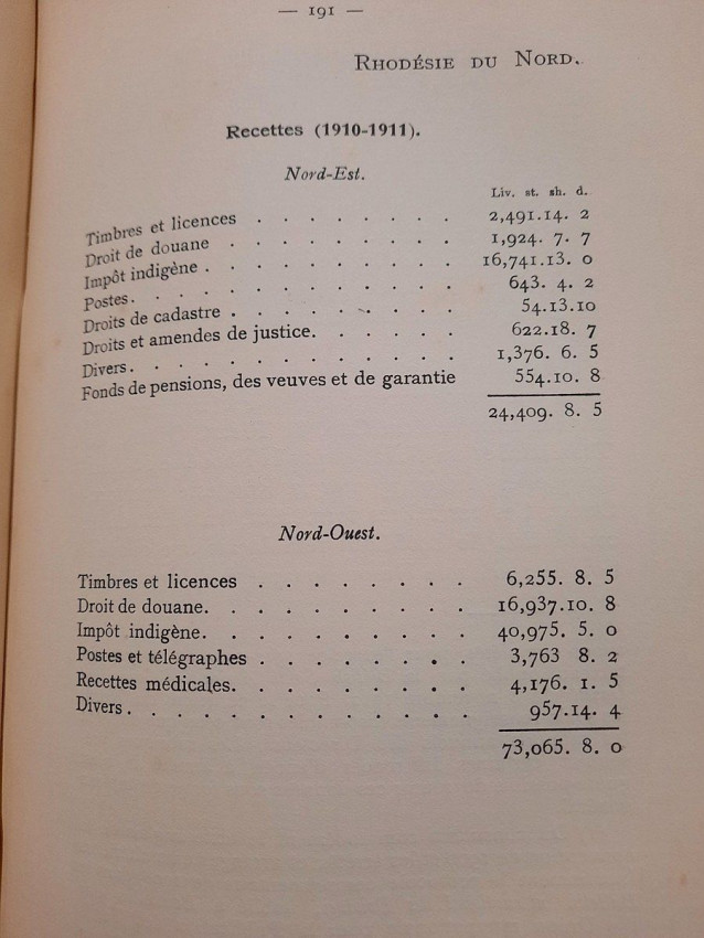
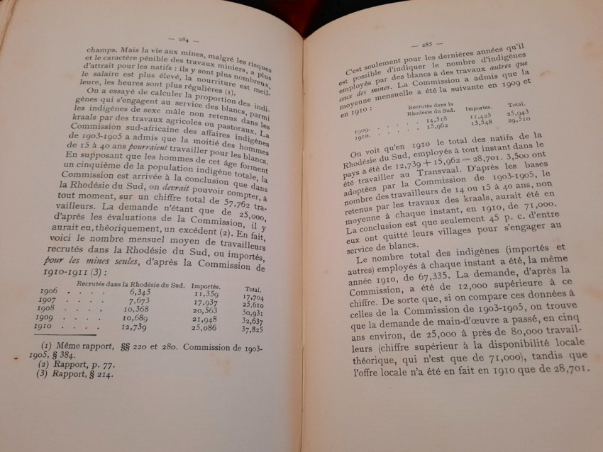
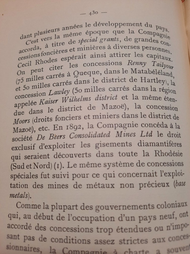
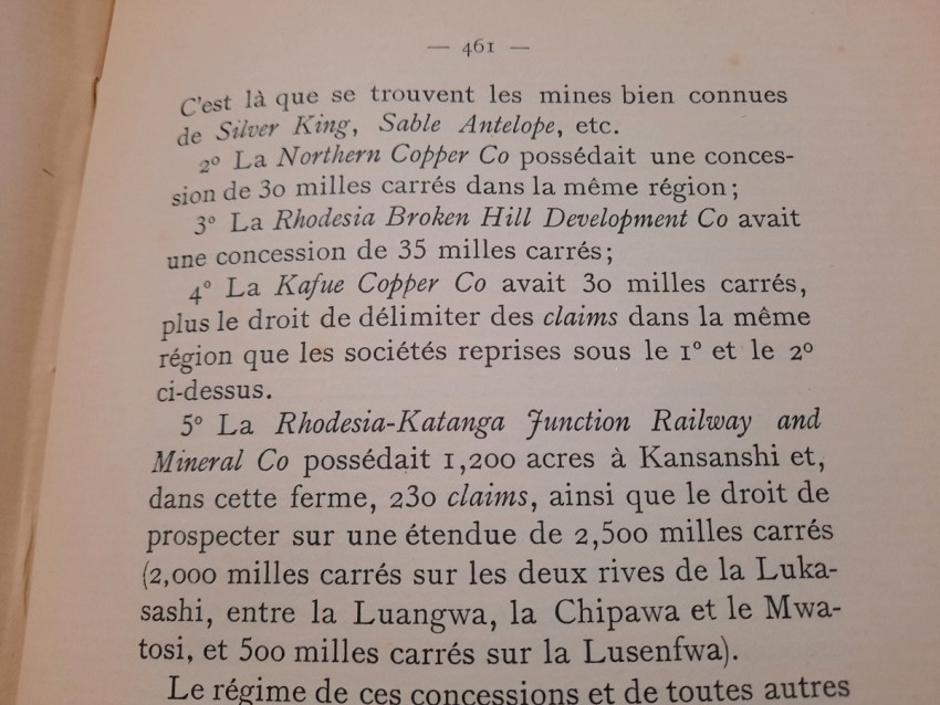
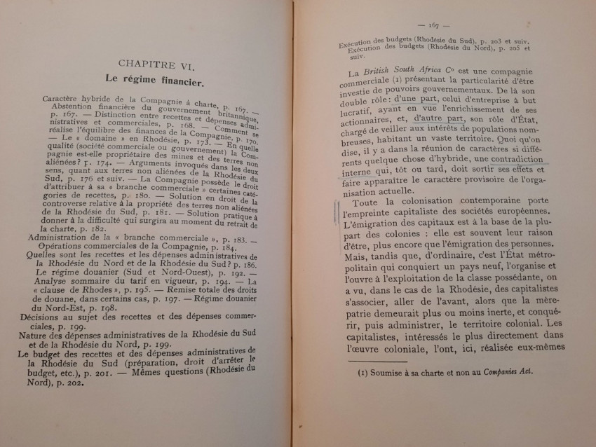
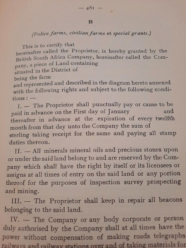
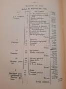
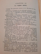
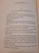
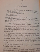
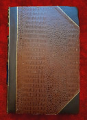
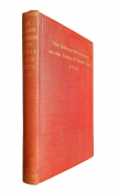
"Les lois et l'administration de la Rhodésie."; Original paperback binding bound in half-leather; Text in French; Collation complete - 532 pages, with 7 folding maps, diagrams and numerous tables; Very good condition overall, content/text block very bright and clean, ligh and rare foxing throughout, occasionaly discrete annotations with pen.
IMPORTANT informations regarding shipping: Shipping to South Africa possible only via UPS/DHL Express service ($105). Shipping to EU via national postal services ($20-25). Shipping to UK possible only via UPS/DHL Express service ($50). Shipping to US via FedEx ($40). For other countries please ask.
- Binding Condition: Very good
- Overall Condition: Very good
- Size: 25 x 17 cm
- Sold By: The Antiquarian Book
- Contact Person: Mariana Deric
- Country: Croatia
- Email: [email protected]
- Telephone: 0917552163
- Preferred Payment Methods: Paypal (no additional charges); Bank (WIRE) transfer via IBAN/BIC/SWIFT
- Trade Associations: AA Approved

Similar lots in the current auction View all
Click on an item to view more details and to bid.

