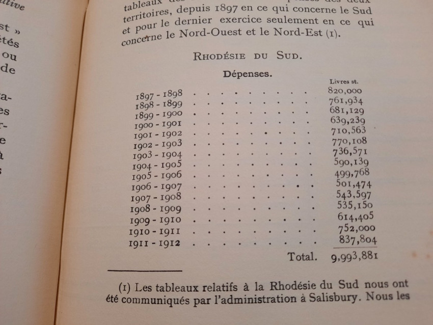
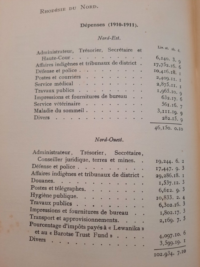
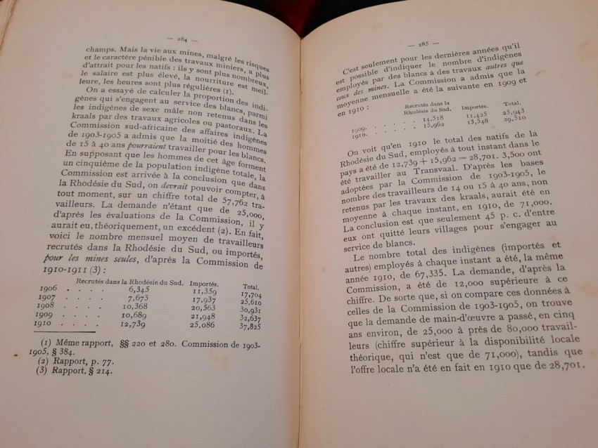
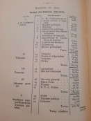
Contains following folding maps and tables:
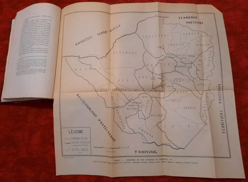
1) Folding map of South Rhodesia from 1912 (showing fiscal divisions and magisterial districts Bulawayo, Charter, Gwanda, Gwelo, Hartley, Melsetter, Salisbury, Umtali and Victoria), (44 x 43 cm)
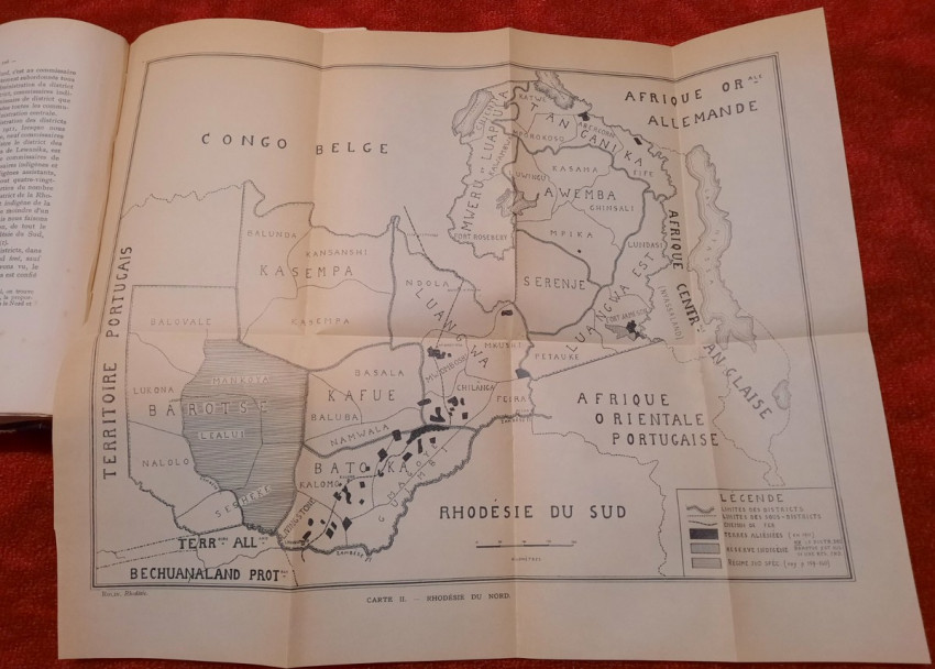
2) Folding map of North Rhodesia from 1912 (45 x 38 cm)
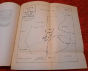
3) Folding map of Salisbury and its "Commonage" (16 x 16 cm)
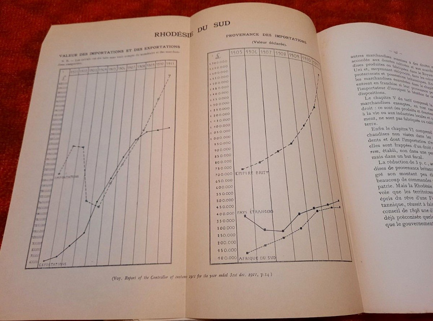
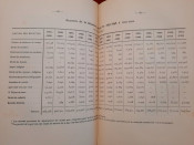
4) Folding table with Value of Imports and Exports & Origin of Imports of South Rhodesia (taken from Report of the Controller of Customs from 1911), (26 x 25 cm)
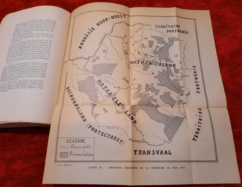
5) Folding map of indigenous reserves of South Rhodesia from 1911 (31 x 34 cm)
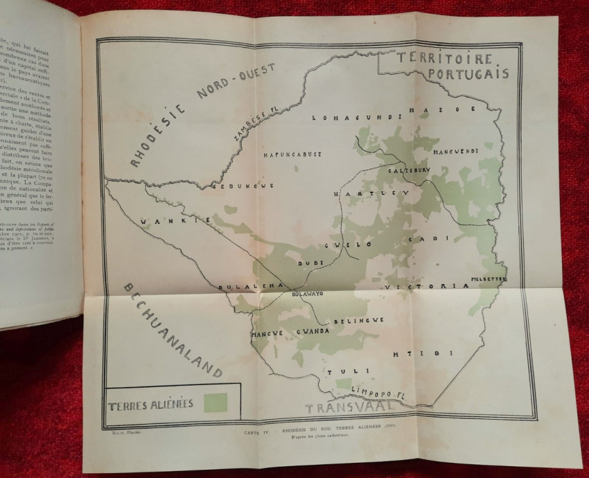
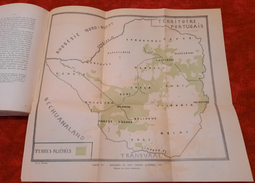
6) Folding map of "Aliens Property" of South Rhodesia from 1911 (according to cadastral maps), (41 x 38 cm)
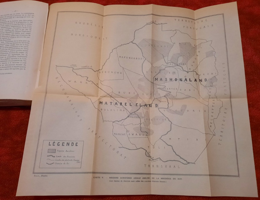
7) Folding map of Auriferous Regions (Gold Belts) of South Rhodesia from 1911 (45 x 43 cm)
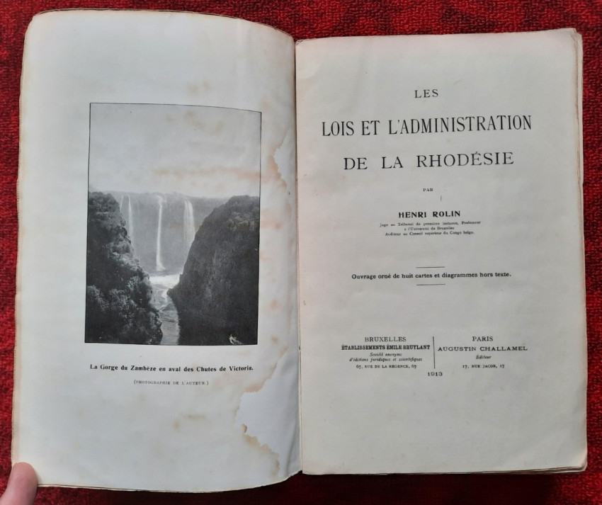
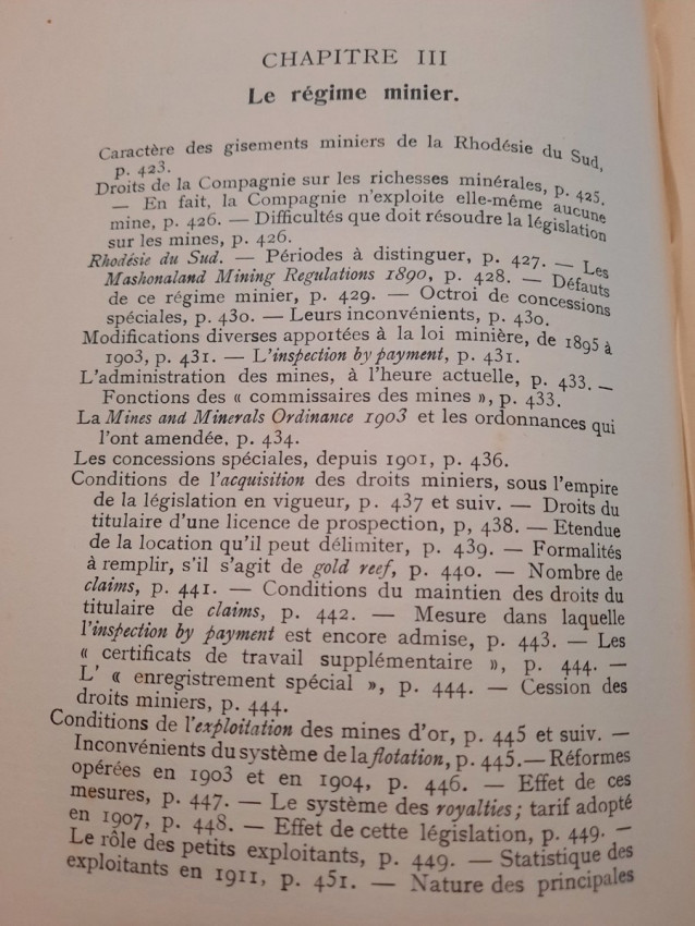
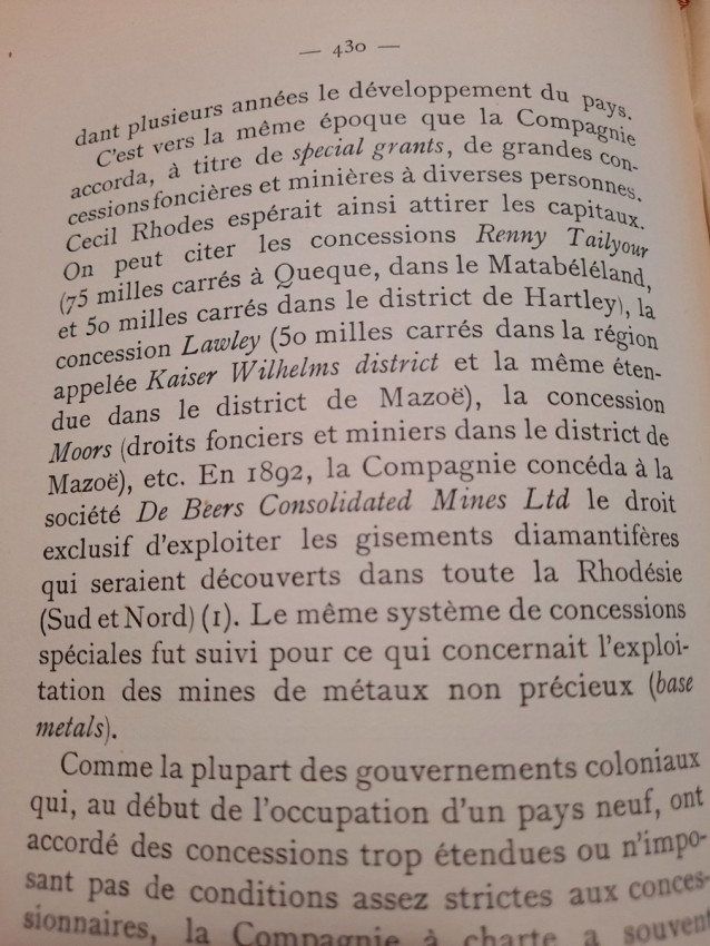
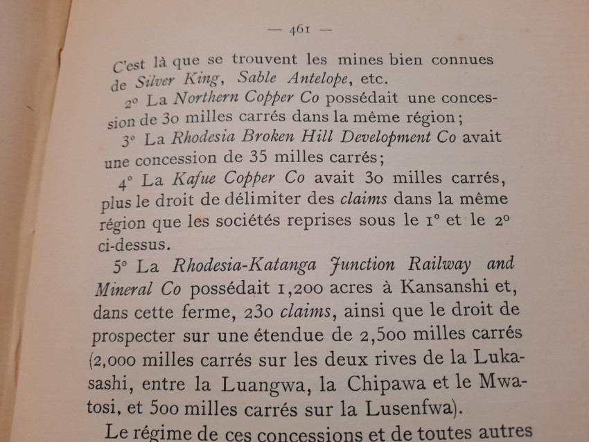
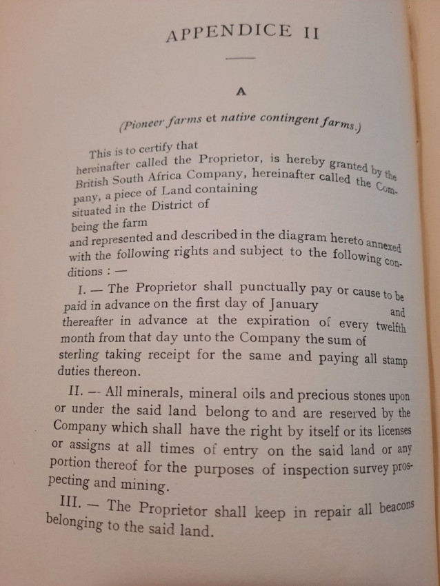
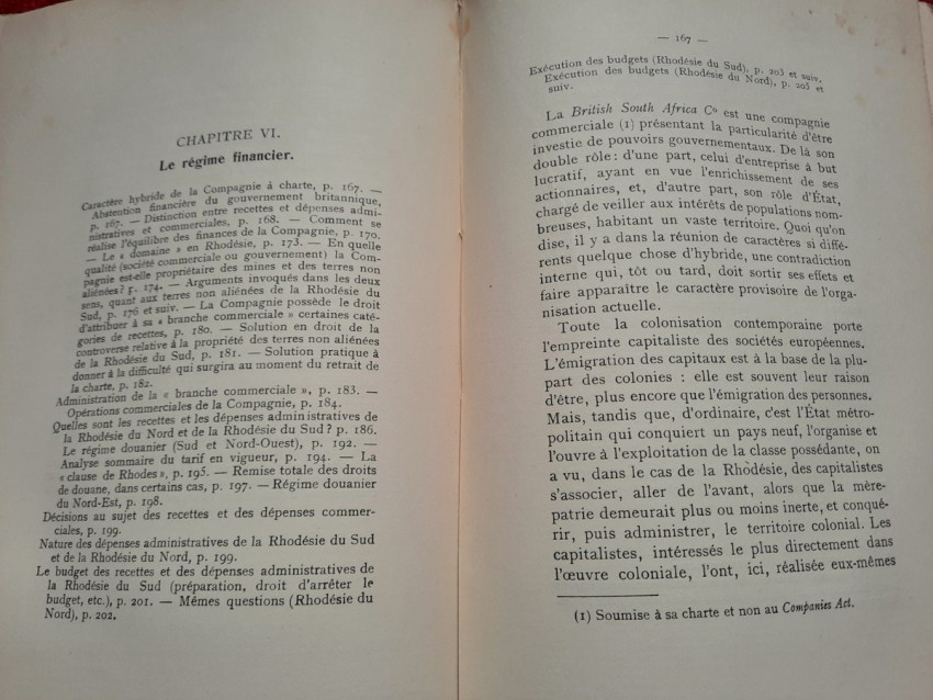
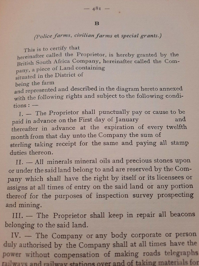
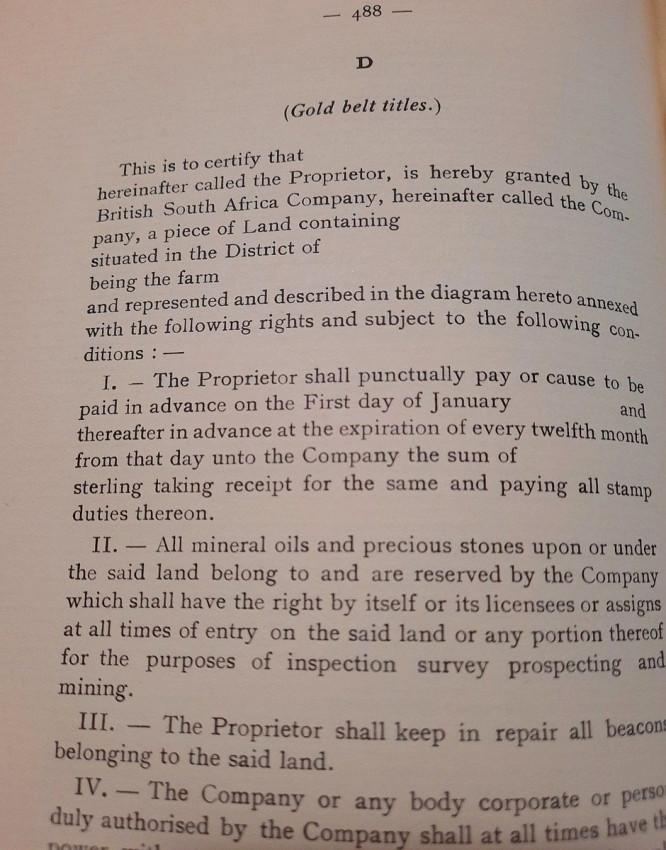
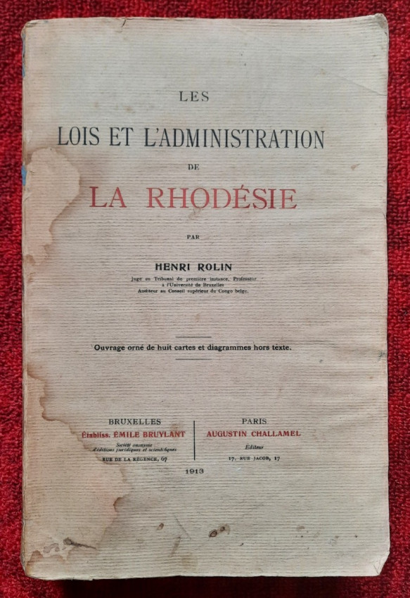
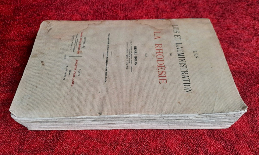
"Les lois et l'administration de la Rhodésie."; Original paperback binding; Text in French; Collation complete - 532 pages, with 7 folding maps, diagrams and numerous tables; Binding in fair condition, with traces of humidity. Otherwise, the content/text block bright and very clean, occasional ligh foxing to the white margins, only the frontispiece shows signs of humidity. Some pages uncut. All maps and tables in excellent condition.
IMPORTANT informations regarding shipping: Shipping to South Africa possible only via UPS/DHL Express service ($105). Shipping to EU via national postal services ($20-25). Shipping to UK possible only via UPS/DHL Express service ($50). Shipping to US via FedEx ($40). For other countries please ask.
- Binding Condition: Good
- Overall Condition: Very good
- Size: 25 x 17 cm
- Sold By: The Antiquarian Book
- Contact Person: Mariana Deric
- Country: Croatia
- Email: [email protected]
- Telephone: 0917552163
- Preferred Payment Methods: Paypal (no additional charges); Bank (WIRE) transfer via IBAN/BIC/SWIFT
- Trade Associations: AA Approved


