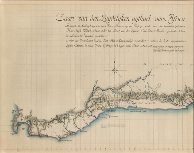
Eighteenth Century Cartography of Cape Colony
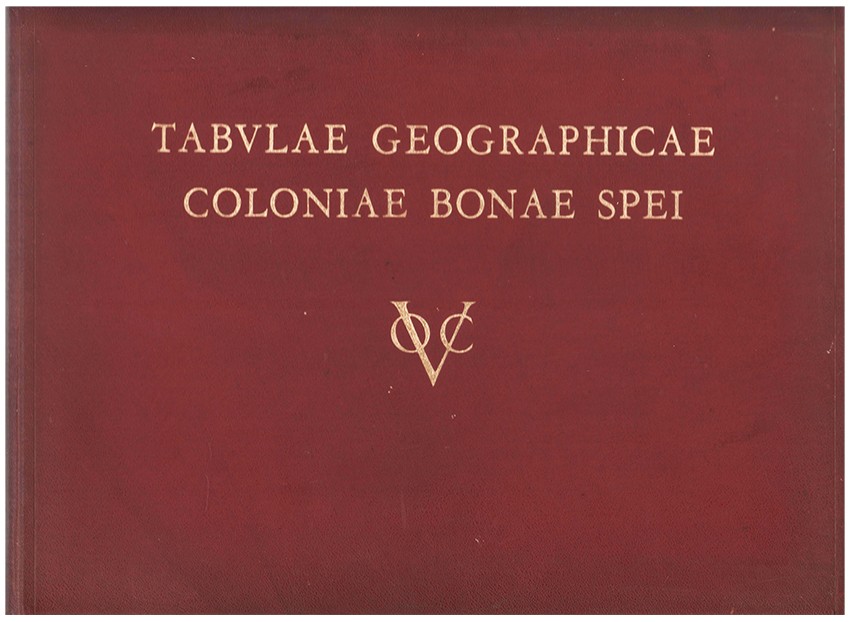
41 pages of parallel text in Dutch, Afrikaans and English, 11 folding maps (1 large folding facsimile of the general map of the Cape Colony by Governor van de Graaff, in a pocket in the back cover), full red leather title gilt on the upper cover, a very good copy.
- Overall Condition: A Very Good Copy
- Size: Oblong folio (305 x 405 mm)
- Sold By: Clarke's Africana & Rare Books
- Contact Person: Paul Mills
- Country: South Africa
- Email: [email protected]
- Telephone: 021 794 0600
- Preferred Payment Methods: Visa & Mastercard via PayGate secure links and Bank transfers.
- Trade Associations: ABA - ILAB, SABDA


