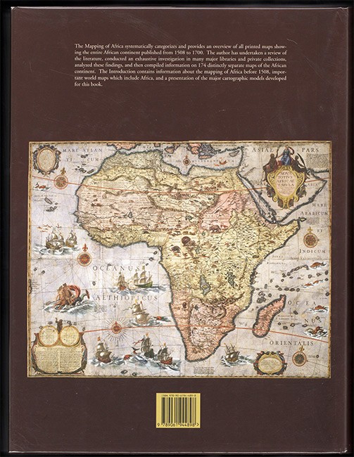
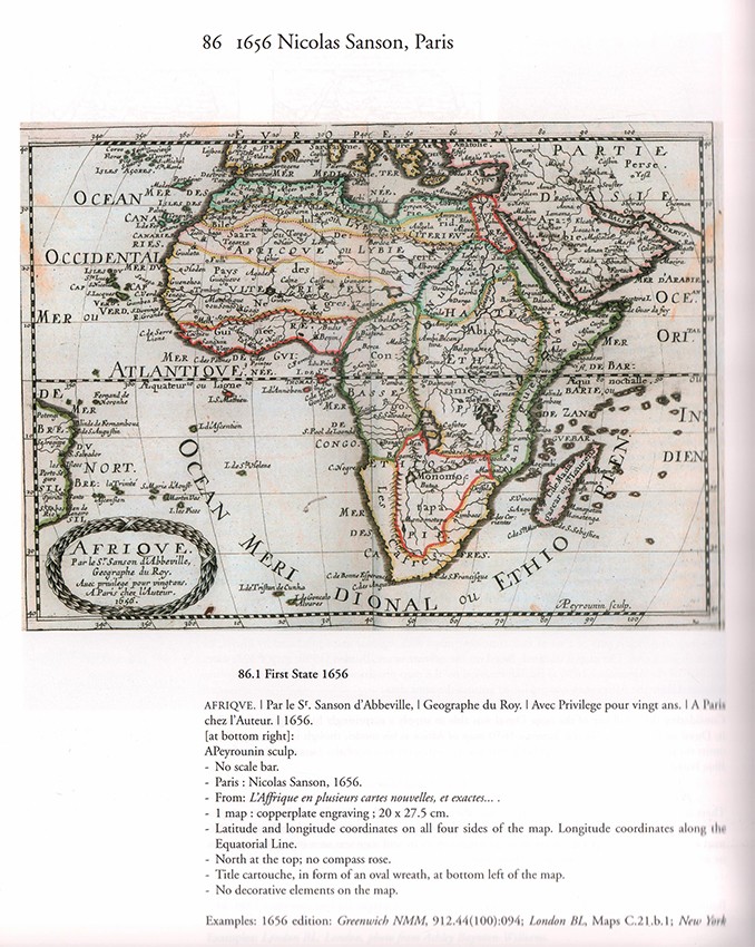
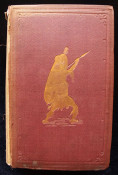
540 pages, numerous colour and other maps, illustrations, brown cloth titled gilt on the upper cover and spine, a fine copy now preserved in a brodart protector.
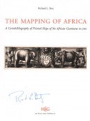
Signed by the author on the title page.
Editor's note: The Mapping of Africa systematically categorizes and provides an overview of all printed maps showing the entire African continent published from 1508 to 1700. The author has undertaken a review of the literature, conducted an exhaustive investigation in many major libraries and private collection, analysed these findings and then compiled information on 174 distinctly separate maps of the African continent.
- Overall Condition: A Fine Copy
- Size: Large 4to (320 x250mm)
- Sold By: Clarke's Africana & Rare Books
- Contact Person: Paul Mills
- Country: South Africa
- Email: [email protected]
- Telephone: 021 794 0600
- Preferred Payment Methods: Visa & Mastercard via PayGate secure links and Bank transfers.
- Trade Associations: ABA - ILAB, SABDA

Similar lots in the current auction View all
Click on an item to view more details and to bid.

