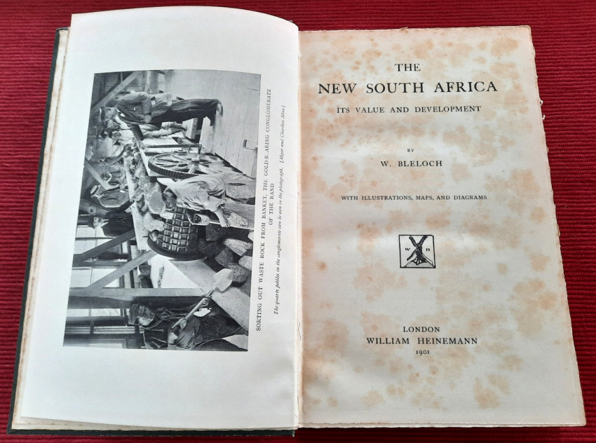
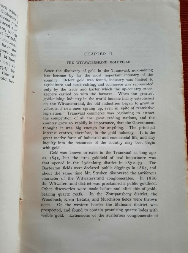
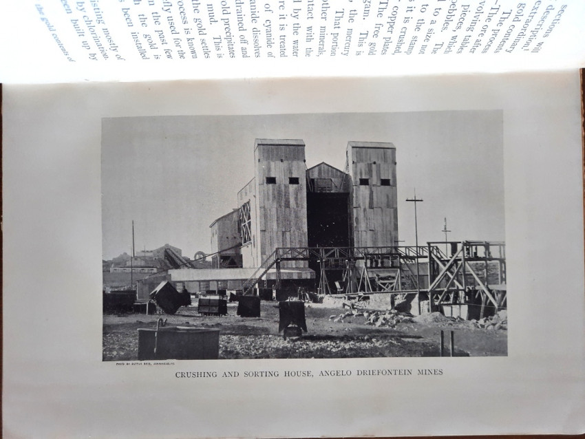
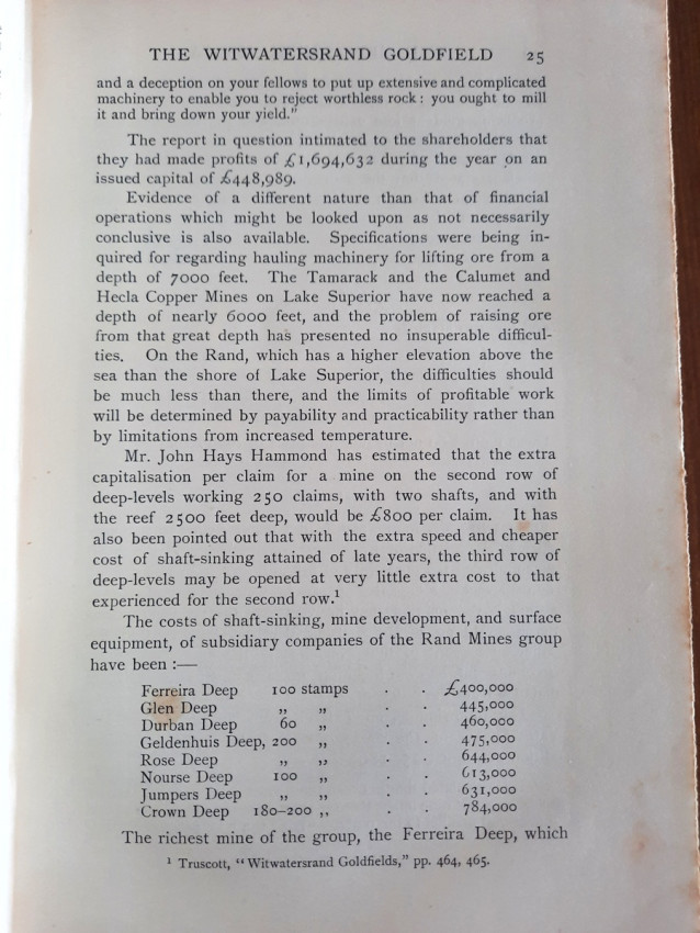
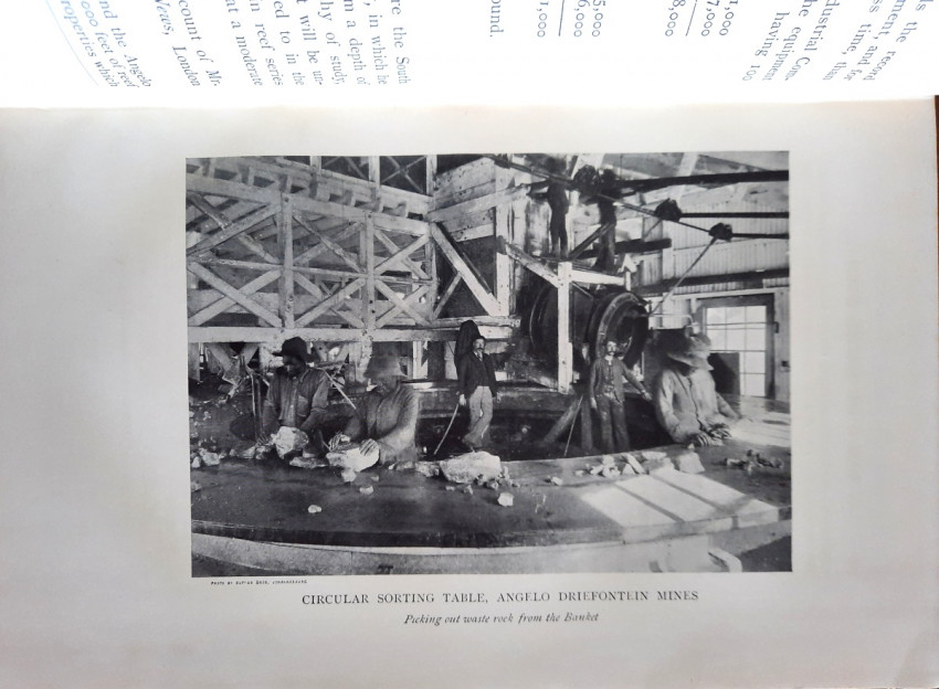
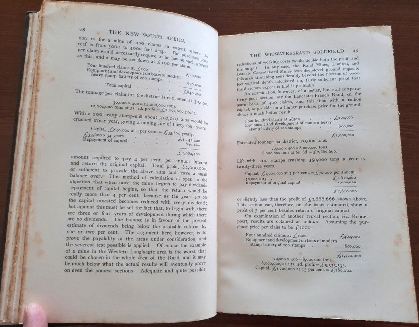
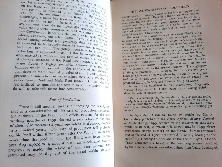
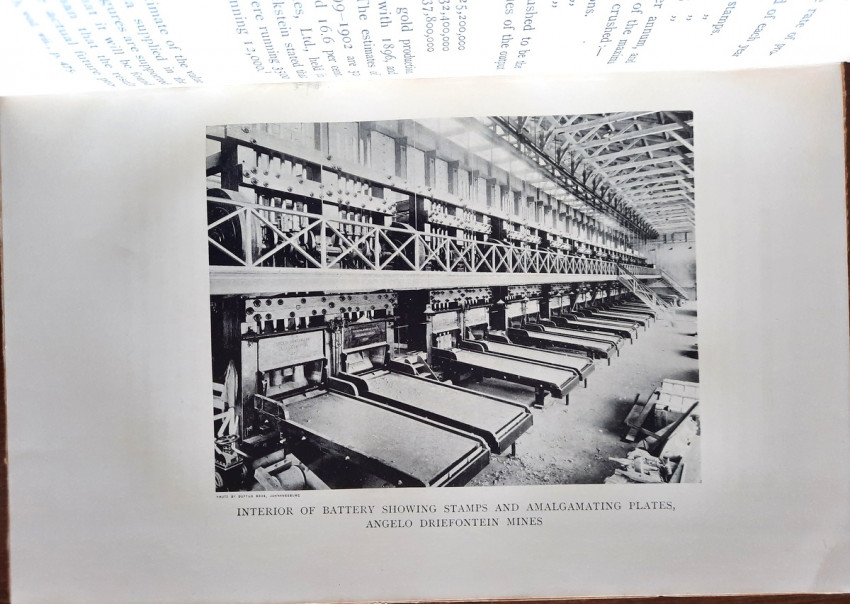
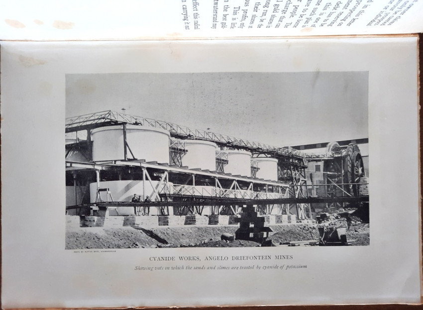
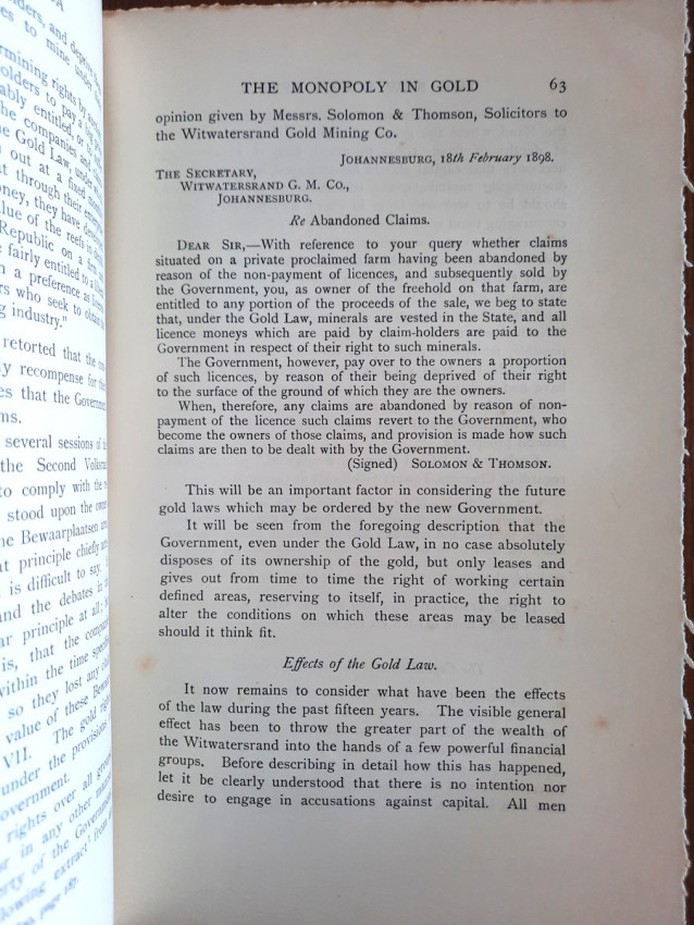
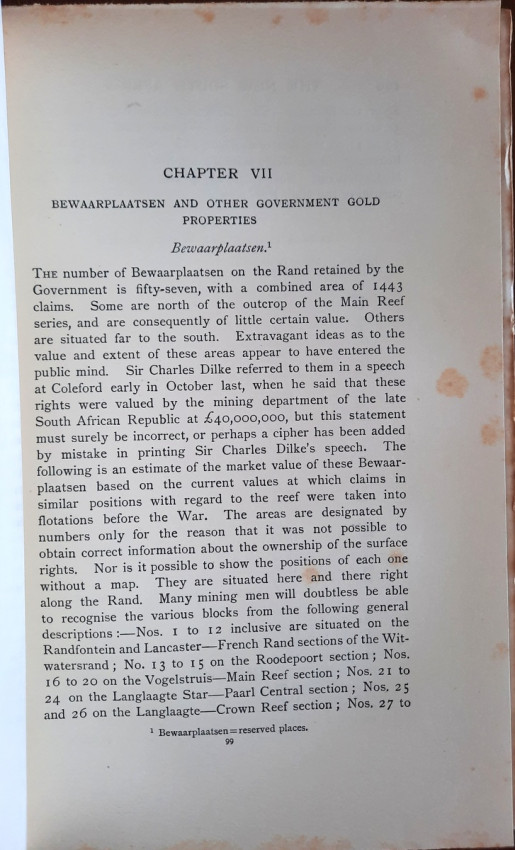
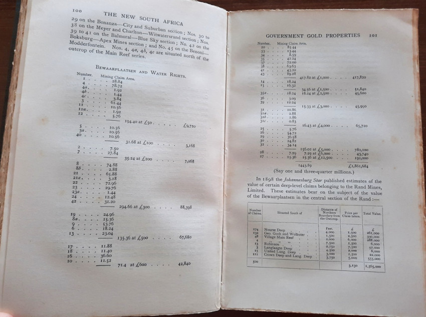
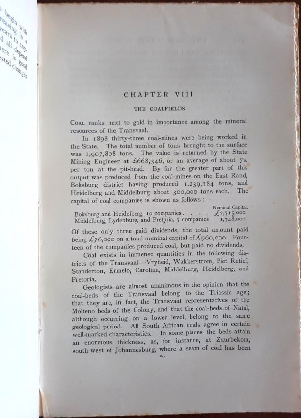
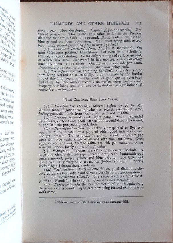
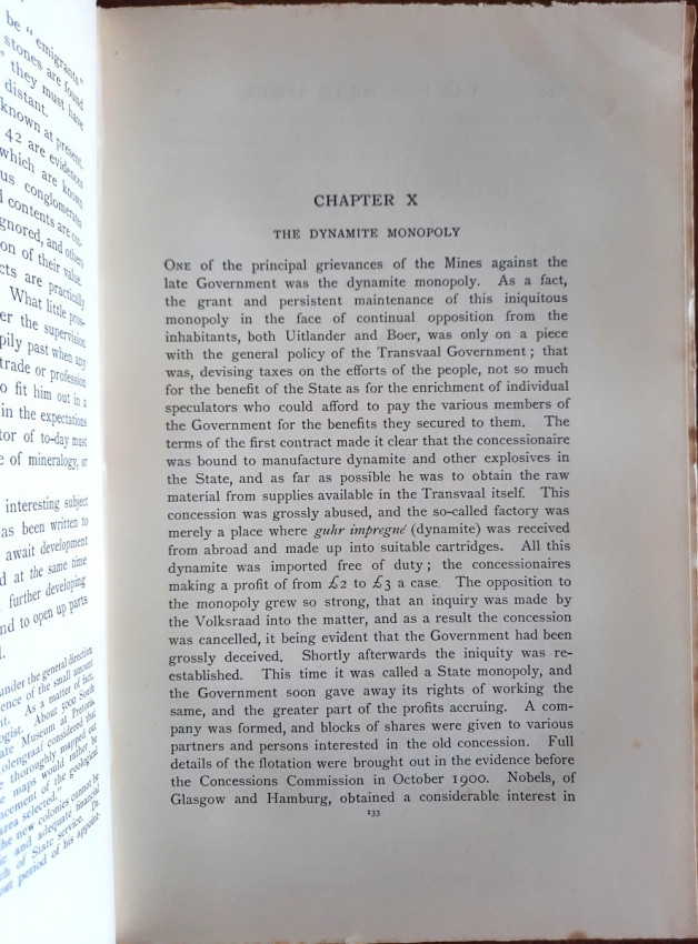
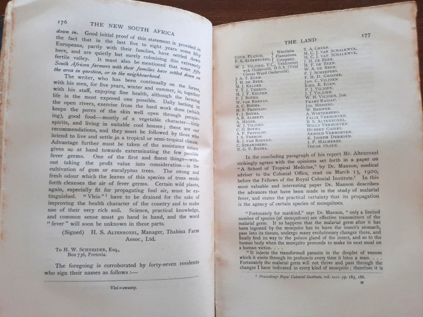
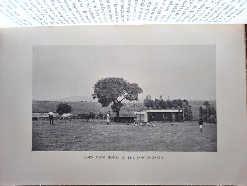
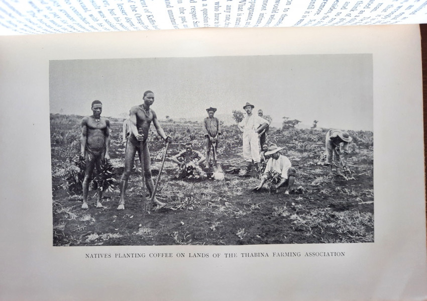
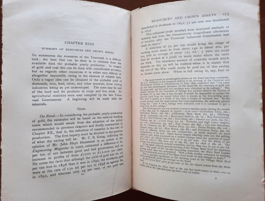
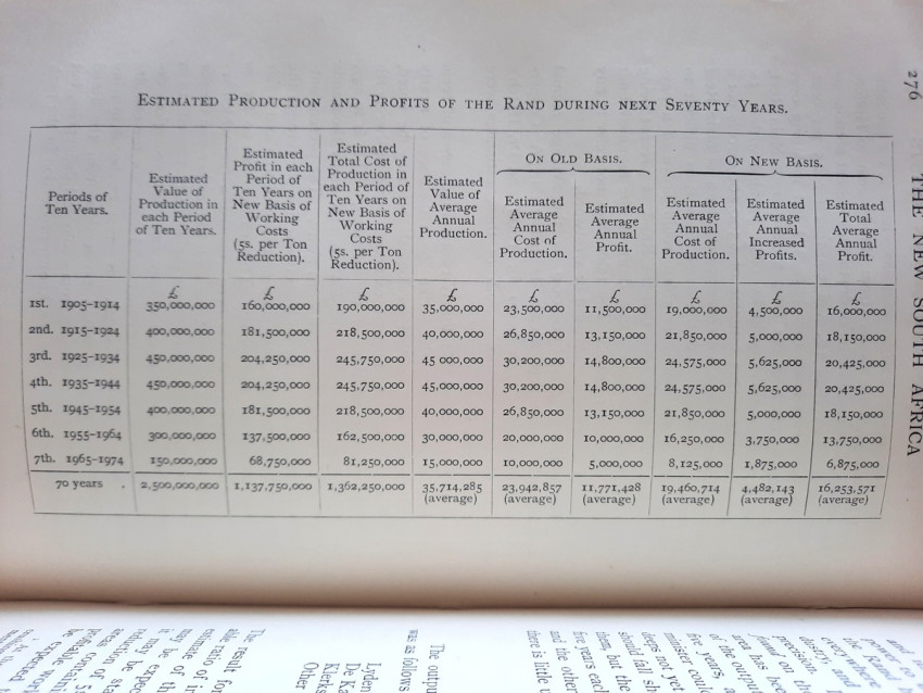
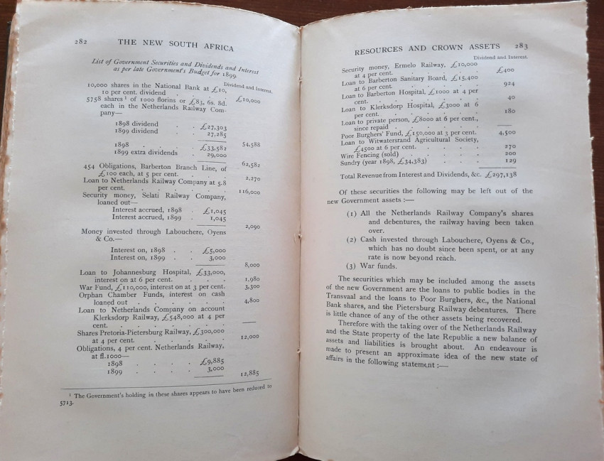
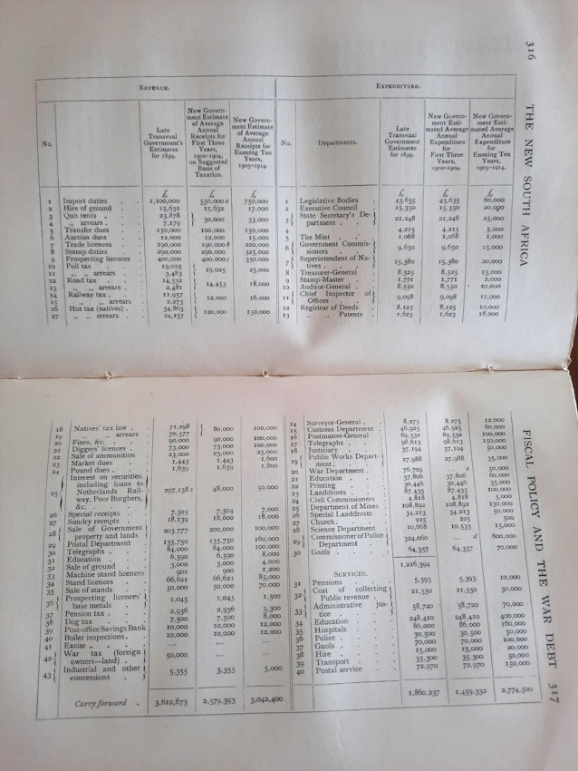
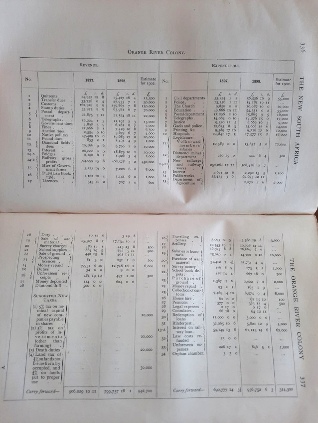
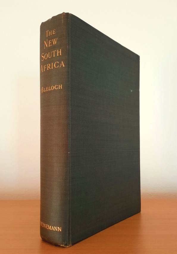
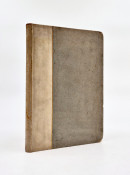
A scarce first edition copy of this impressive work describes in detail the late 1800 and early 1900 socio-economic conditions and plans for a new Transvaal and Orange River Colony in the early gold mining days.
The vast resources & possibilities of the new Transvaal, Orange River Colony & the older colonies "under free development by vigorous British communities", includes mining, railways, industry, etc. (Mendelssohn I.135).
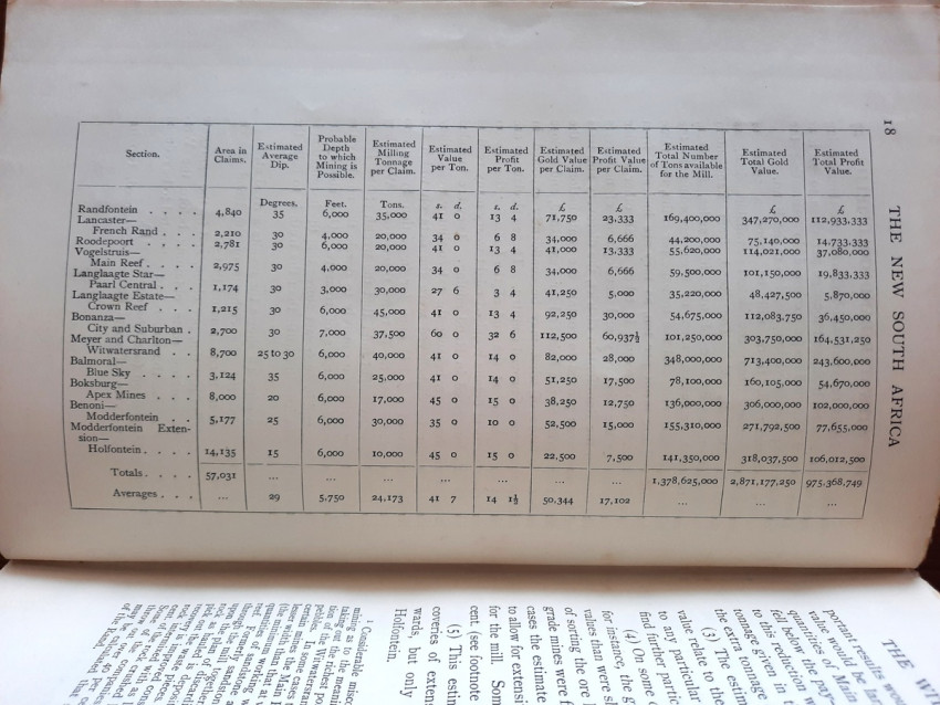
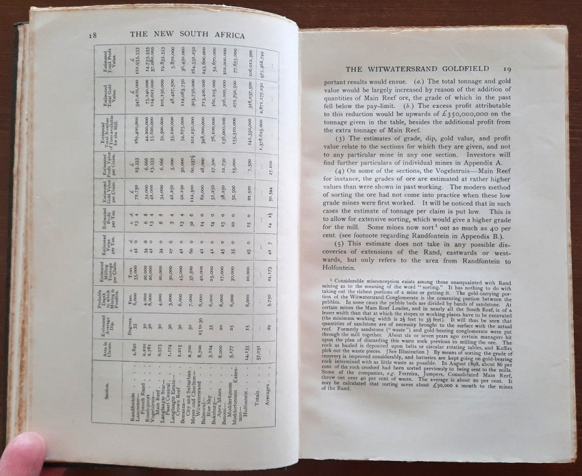
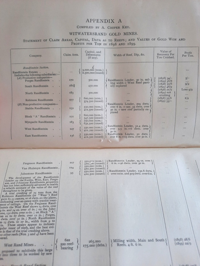
With an addition of 16 Appendices contains Statistical table showing claim areas, capitalisations, reef thicknesses, yields and profit values per ton in 1899 and 1900 of principal mining companies from Randfontein to Holfontein, treated in sections (Compiled by A. Cooper Key); Estimates of the value of different sections of the Rand; Article on the "Progressive Development of the Rand." by A. Cooper Key, in the "South African Mining Journal"; List of gold concessions granted by the late Government of the South African Republic; Lists of produce imported into the Cape Colony, Transvaal, Orange Free State, and Natal (1896 and 1897) which should have been grown in the country. By H. W. Schneider; Detailed description of geological plan and sections of the Witwatersrand by David Draper, F.G.S.; Suggestions for the settlement of Swaziland and the removal of monopolies. By W. P. Fraser; Transvaal land-Lists of Government and private farms (Summary according to districts); Abstract of report on agricultural and mineral possibilities of the Transvaal. By D. M. Wilson; Employees on mines on the Rand (Numbers, wages, monthly wages); Natal immigation. By W. P. Fraser; Extracts from pamphlet issued by the Refugee Committee of the Uitlanders (Cape Town, October 1900); Dr. Farrelly's opinion in re Lord Roberts's Proclamation of the 20th August 1900 regarding taxes, revenues, and licences in the Transvaal; Death duties in Great Britain (extract from Hazell's Annual); List of Government farms in the Orange River Colony.
Maps and plans:
1) Multiple folding Geological Sections across the Witwatersrand (by David Draper)
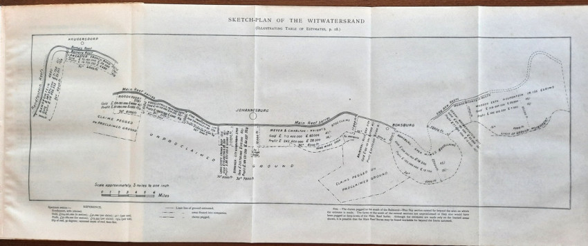
2) Multiple folding Sketch Plan of the Witwatersrand (Illustrating Table of Estimates from the page 18)
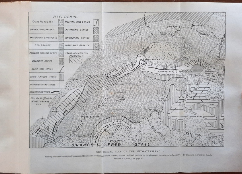
3) Folding Geological Plan of the Witwatersrand (by Minett E. Frames)
4) Diagram of Gold Farm
5) Geological Section, Brakpan Colliery
6) Mineral and Cultural folding Map of the Transvaal
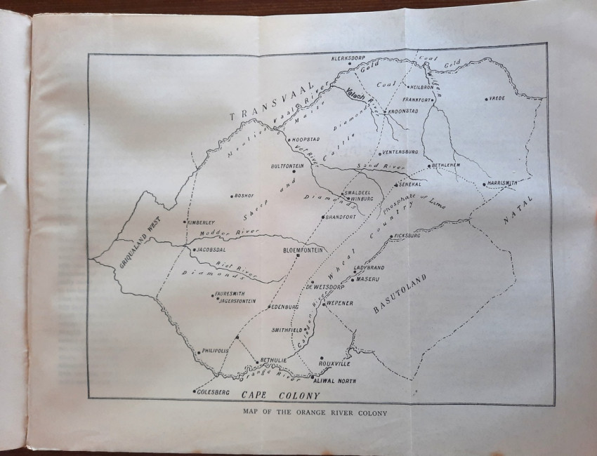
7) Mineral and Cultural folding Map of the Orange River Colony
8) Section of Bore-Hole, East Rand Extension Gold Mining Company
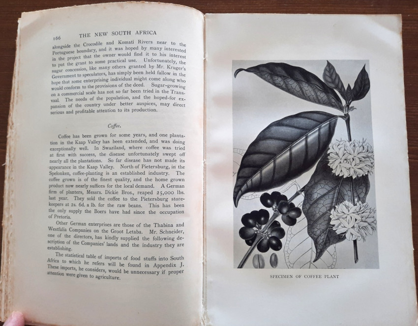
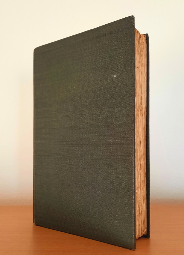
Green cloth hardcovers; Text in English; Collation complete - Title page, xvi, 435 pages, 34 pages, with numerous illustrations, maps, plans, diagrams, sketches. etc; Private ex-library bookplate inside front cover. Binding is tight and firm, lightly rubbed, spine extremities and corners little bumped. Title page very foxed, otherwise the most of the text block is very clean and bright, with occasional light foxing. All photograph plates and folding diagrams are clean. Deckled edges. A sound copy.
IMPORTANT information regarding shipping: Shipping to South Africa possible via national post ($40) or Fedex/DHL Express service ($80-100). Shipping to EU via courier services ($20-25). Shipping to UK possible only via Fedex/DHL Express service ($50). Shipping to US via FedEx ($60). For other countries please ask.
- Binding Condition: Good
- Overall Condition: Good
- Size: 23 x 15 cm
- Sold By: The Antiquarian Book
- Contact Person: Mariana Deric
- Country: Croatia
- Email: [email protected]
- Telephone: 0917552163
- Preferred Payment Methods: Paypal (no additional charges); Bank (WIRE) transfer via IBAN/BIC/SWIFT
- Trade Associations: AA Approved

Similar lots in the current auction View all
Click on an item to view more details and to bid.


