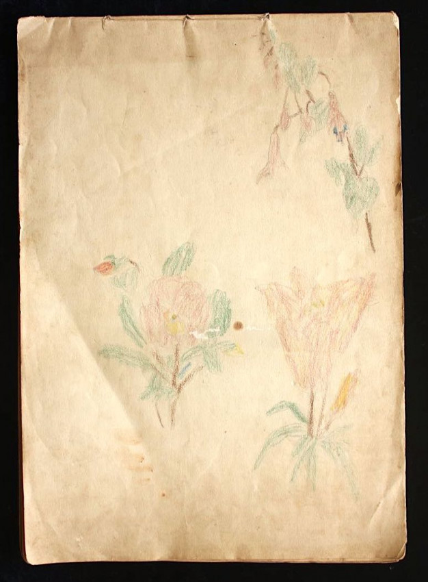

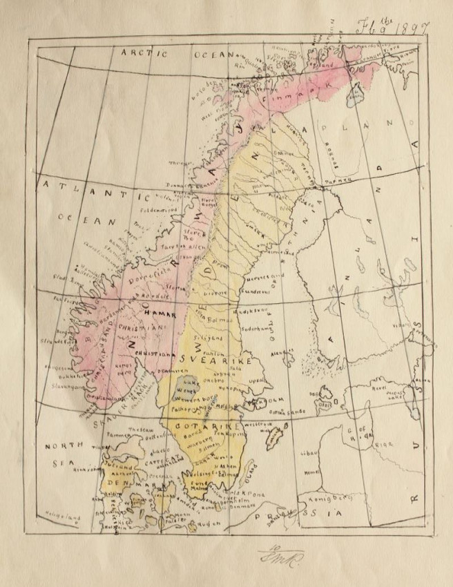
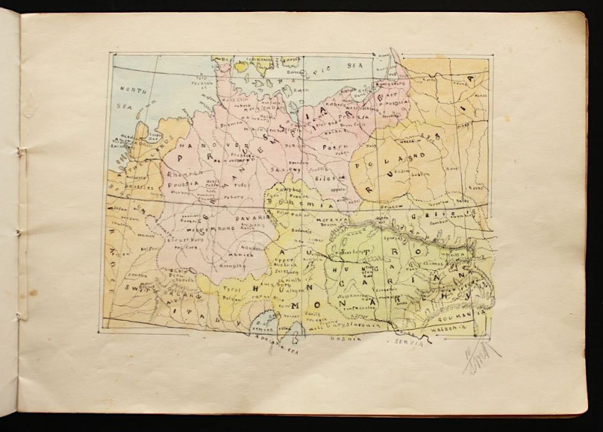
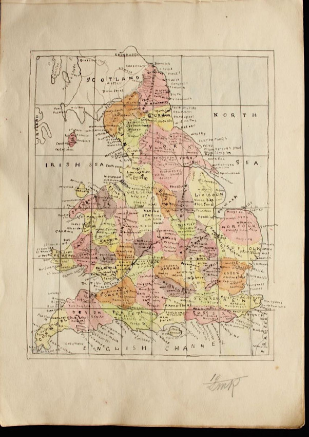
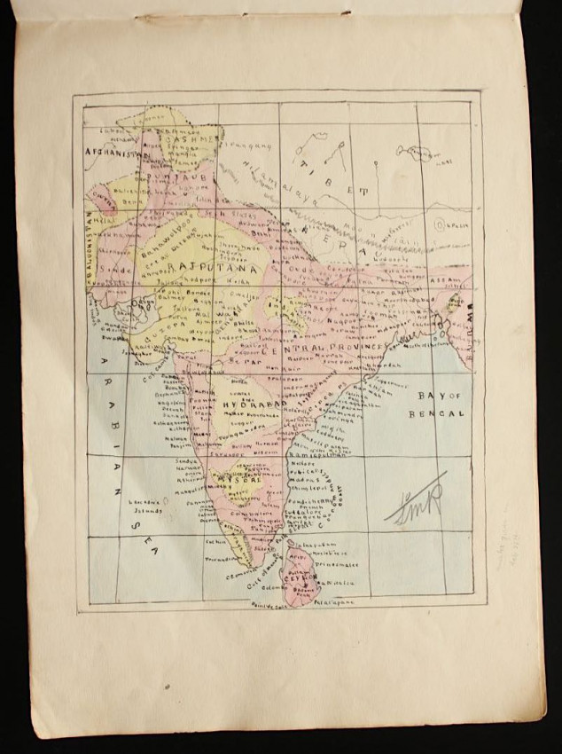
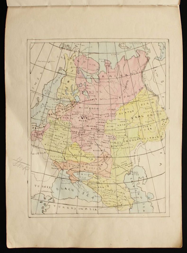
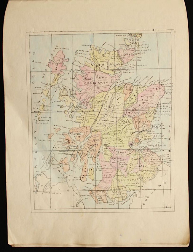
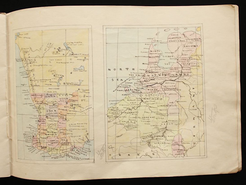
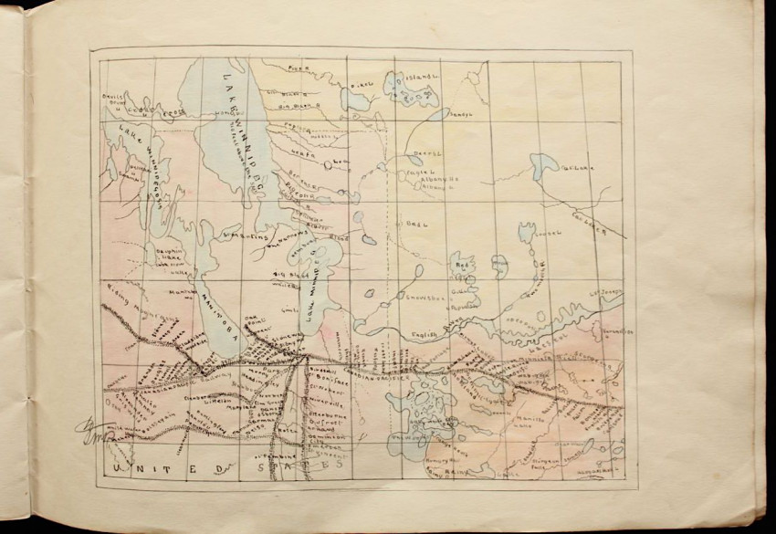
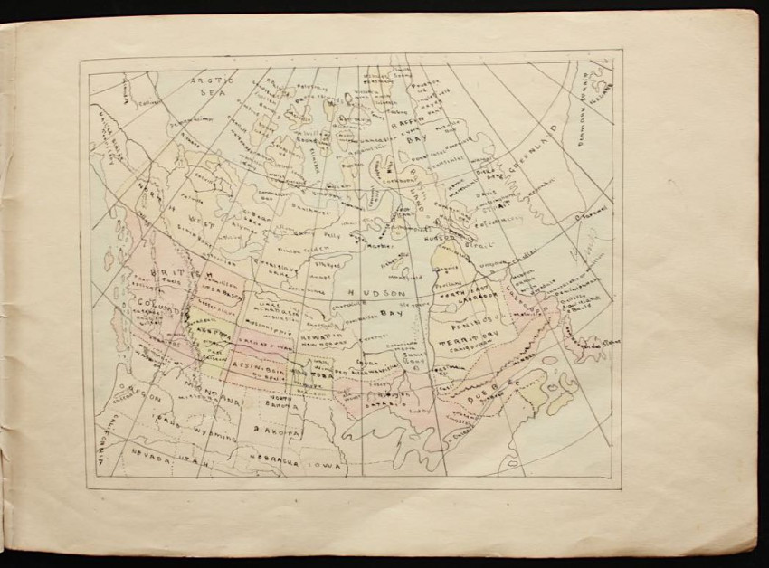
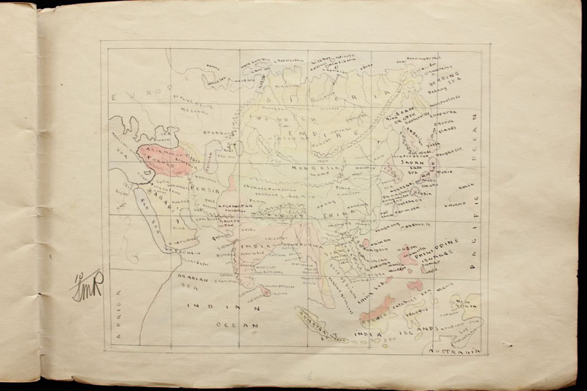
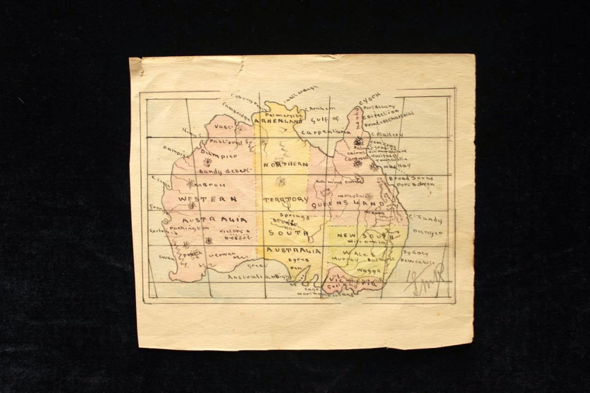
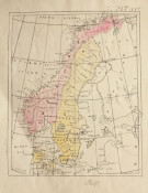


This sketchbook, measuring 34,5 x 24,5cm, contains 12 hand drawn maps dating from 1897. At the top margin of the map of Scandinavia there is a date written in ink "Feb. the 9, 1897".
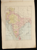
They appear to have been prepared for an examination as there is a faint note in pencil in the margin of the map of India which reads, "Marks given on Feb 28th". The cartographer received a full score as each map received a 10 from the examiner who then initialled it "S.M.R."
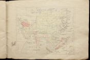
The maps are as follows:
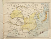
1.) Asia: including part of Russian Empire, Mongolia, Tibet, Burma, Siam, Formosa, Manchuria, Japan.
2.) Scandinavia
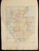
3.) Europe: including Prussia, Bavaria, Bohemia, Austro Hungarian Monarchy, Galicia, Poland, Switzerland, Netherlands, France.
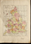
4.) England
5.) India & Ceylon
6.) Finland, Lapland & parts of Russia
7.) Scotland
8.) Western Australia & Netherlands
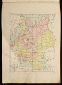
9.) Northern USA & Canada
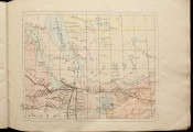
10.) Canada & Greenland
11.) Asia: including Arabia & Persia
12.) Australia (loosely inserted)
- Overall Condition: Good
- Size: 34,5 x 24,5cm