


.jpg)
.jpg)

.jpg)
.jpg)
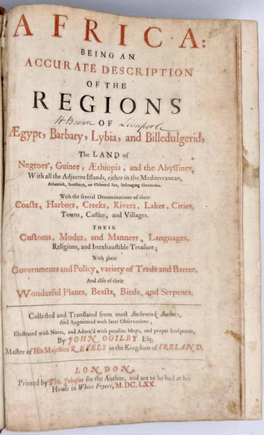
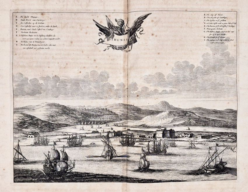
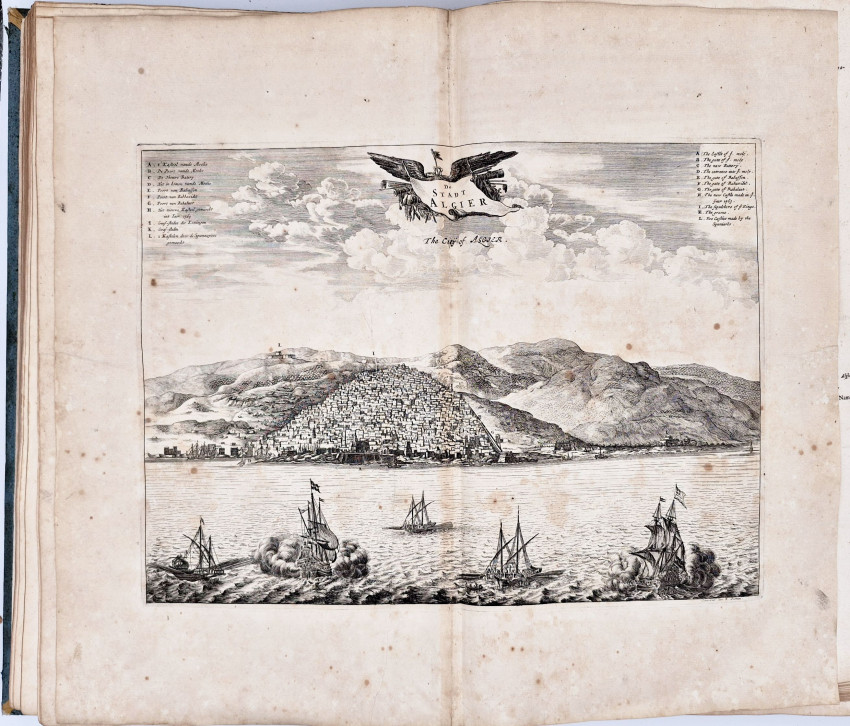
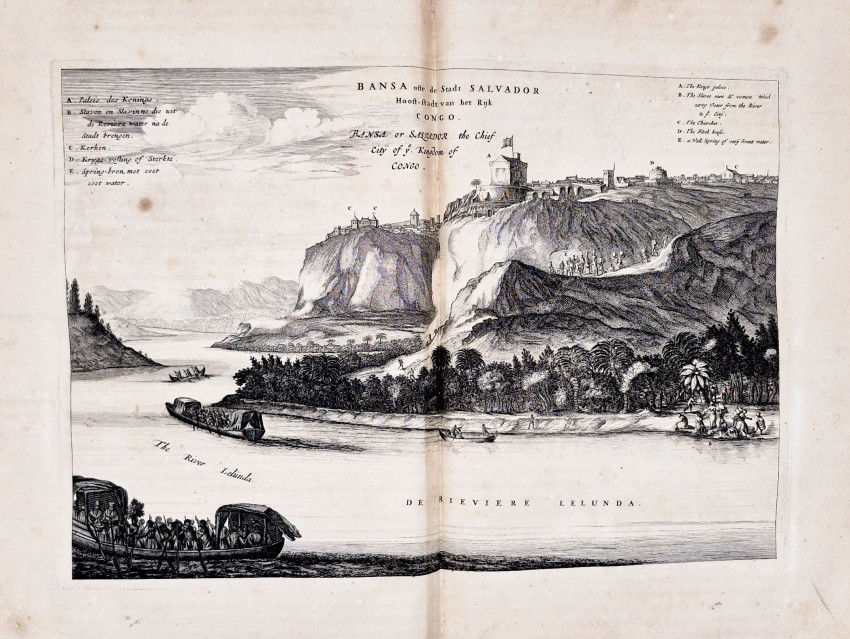
Being, An Accurate Description of the Regions of Egypt, Barbary, Lybia, and Billedulgerid, the Land of Negroes, Guinee, Aethiopia, and the Abysinnes, with All the Adjacent Islands, either in the Mediterranean, Atlantick, Southern, or Oriental Sea belonging thereunto. With the several denominations of their Coasts, Harbors, Creeks, Rivers, Lakes, Cities, Towns, Castles, and Villages. Their Customs, Modes and Manners, Languages, Religions and Inexhaustible Treasure; With their Governments and policy, variety of Trade and Barter, and also of their Wonderful Plants, Beasts, Birds and Serpents. Collected and Translated from most Authentick Authors and Augmented with later Observations; Illustrated with Notes and Adorn'd with Peculiar Maps and proper Sculptures
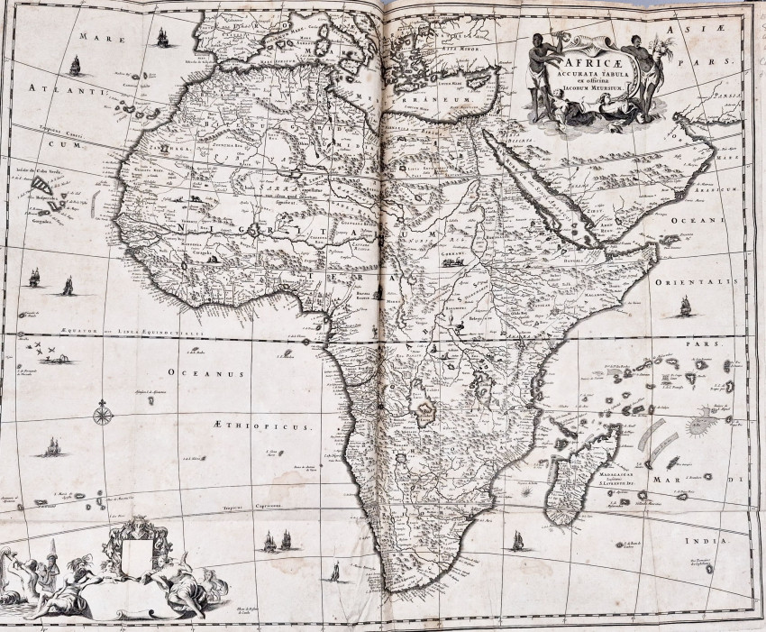
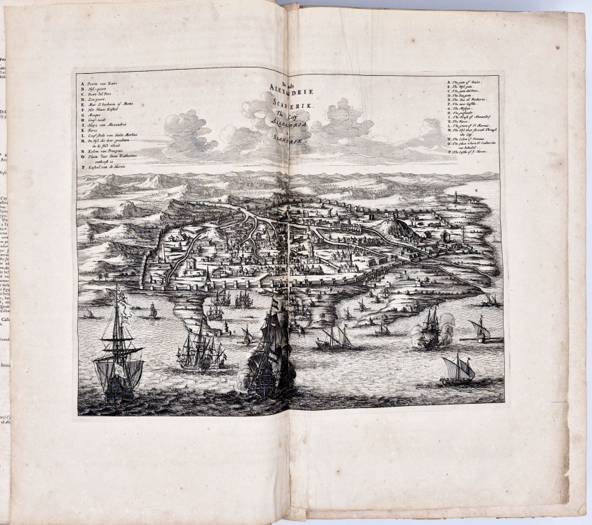
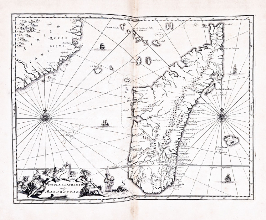
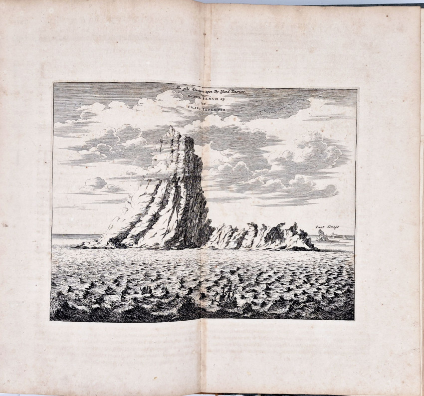
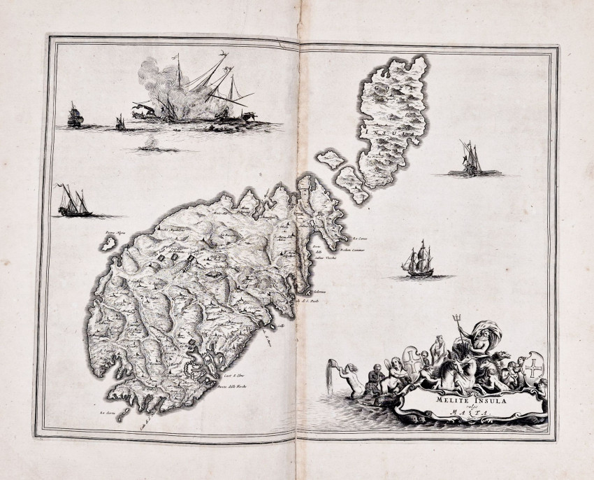
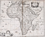
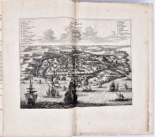
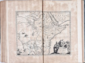
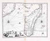
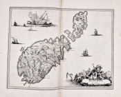
First edition: xvi, 767, (+ 1 directions for the placing of the maps and sculps) pages, lacks the half title and the engraved title page, large folding map of Africa repaired at the folds and 46 engraved maps and plates agreeing with the directions, 54 engraved illustrations in text (4 sheets with 2 per sheet), quarter brown leather with a black leather title label on the spine, light blue paper sides over wooden boards, the leather is worn and rubbed along the edges, likewise the paper sides are worn and scuffed, some maps are browned with small stains, map at page 219 torn and repaired.
(https://www.bl.uk/collection-items/john-ogilbys-africa-1670)
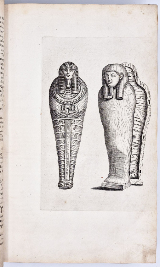
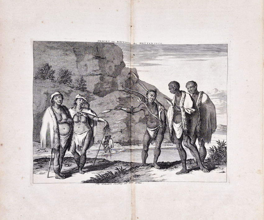
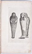
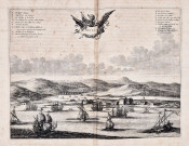
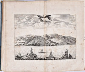
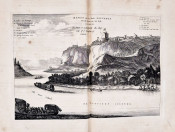
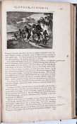
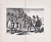
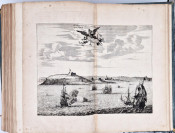
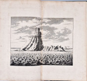
This enormous volume was published by John Ogilby (1600–1676) in 1670. It was devised as a comprehensive guide to Africa – intended for a British readership – and includes maps, topographical engravings and narrative descriptions of the countries, provinces, peoples and customs of that continent. Very little of the information was original, as Ogilby compiled and translated it from a wide selection of pre-existing European sources. As the fledgling British Empire developed in the 17th century, knowledge of foreign lands was becoming increasingly important to the nation. Ogilby was granted a royal warrant by King Charles II (1630 –1685) to publish ‘A Description of the Whole World’. Africa was the first volume in this series of ornate atlases; Atlas Japannensis (1670), America (1671), Atlas Chinensis (1671) and Asia (1673) followed.
Ogilby’s volume was, at the time of its publication, an attempt to provide a broad, detailed and accurate overview of the African continent as it was known to Europeans in the mid 17th century. For these reasons, it has become an important text in modern scholarship on representations of Africa throughout history. Published seven years after the official sanctioning of the slave trade in the British Empire, Africa included maps of coastal trading posts in West Africa, one of the primary regions exploited by Europeans working within the transatlantic slave trade. Many of these seaports, as well as the local African cultures, are described and depicted in this volume.
- Size: folio (420 x265 mm)
- Sold By: Clarke's Africana & Rare Books
- Contact Person: Paul Mills
- Country: South Africa
- Email: [email protected]
- Telephone: 021 794 0600
- Preferred Payment Methods: Visa & Mastercard via PayGate secure links and Bank transfers.
- Trade Associations: ABA - ILAB, SABDA


