.jpg)


.jpg)
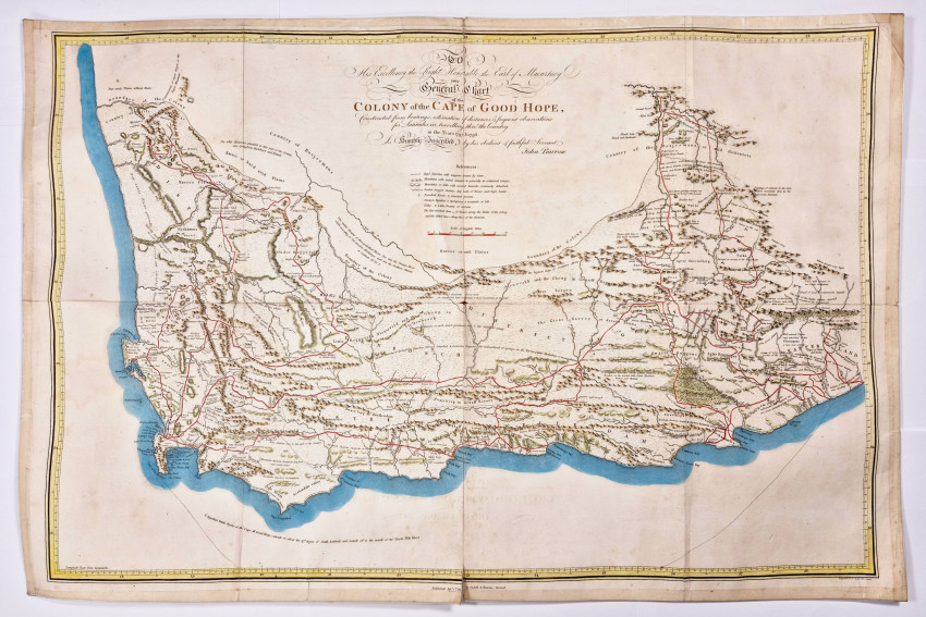
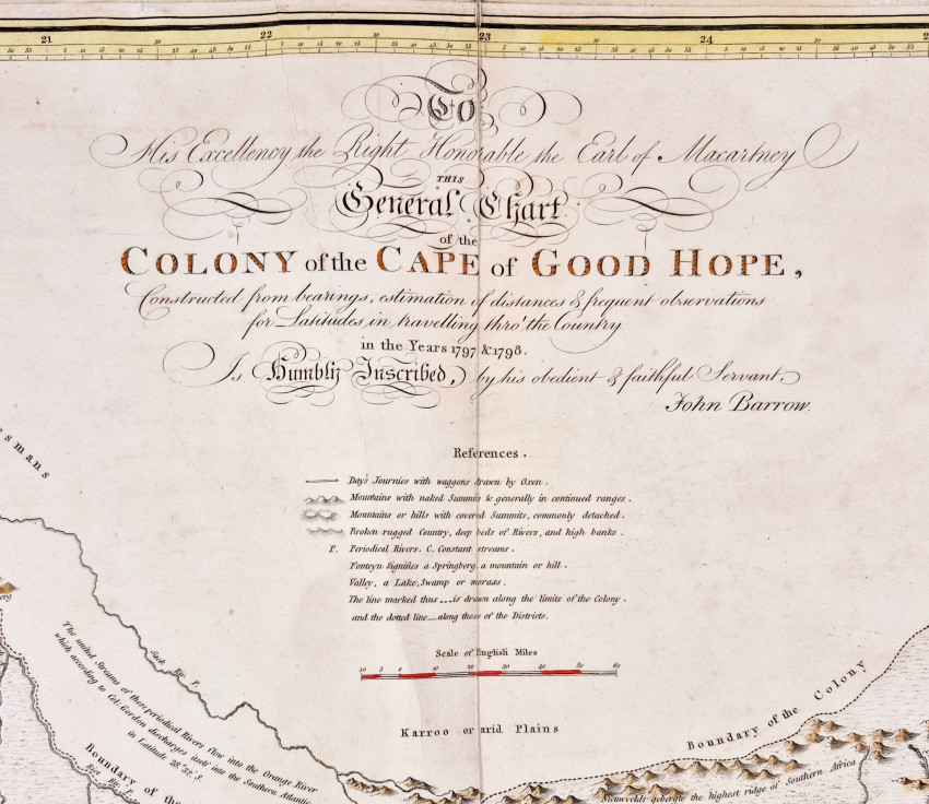
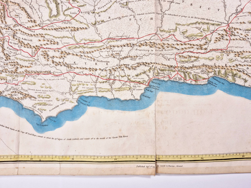
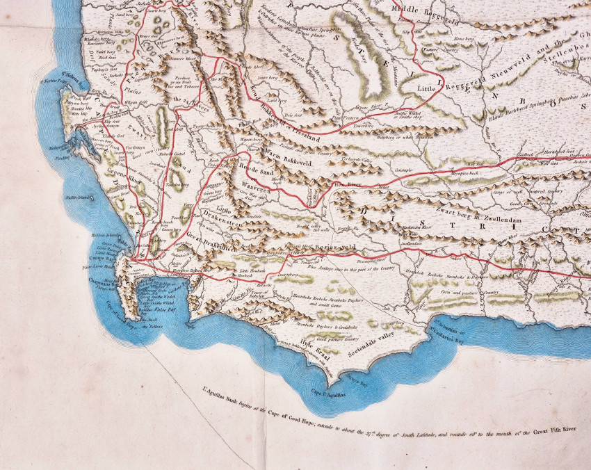
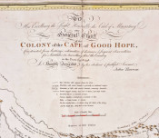
Hand coloured with Barrow's journeys indicated in red. The entire map has been strengthened around the edges by adhesive tape. The first edition of Barrow’s An Account Of Travels Into The Interior Of Southern Africa, was published by Cadell & Davies in 1801 & 1804.
Size: 740 x 490 mm
Norwich (Oscar I.) Maps of Africa, An illustrated and annotated carto-bibliography, Johannesburg 1983, Map number 228 (page 298): 'This eighteenth-century map presents a more realistic, yet slightly inaccurate, depiction of the coastline compared to earlier versions, with topography represented by both hachures and traditional "anthill" methods. It clearly outlines the colonial borders from the Koussie to the Great Fish River, alongside internal district boundaries. Furthermore, it highlights John Barrow's 1797–8 travels, including areas beyond the Orange River, and features detailed, often archaic, annotations regarding the landscape, fauna, and local customs. Due to its accuracy, this map served as a foundational source for later publishers.’
- Overall Condition: Very good
- Size: 740 x 490 mm
- Sold By: Clarke's Africana & Rare Books
- Contact Person: Paul Mills
- Country: South Africa
- Email: [email protected]
- Telephone: 021 794 0600
- Preferred Payment Methods: Visa & Mastercard via PayGate secure links and Bank transfers.
- Trade Associations: ABA - ILAB, SABDA


