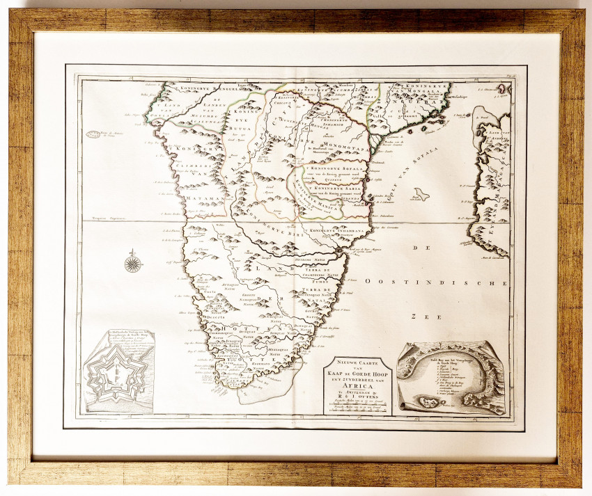
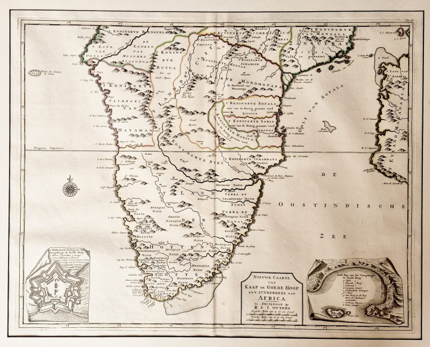

560 x 440 mm, the map is printed on firm paper, the imprint is dark and the paper is almost unblemished. Unusually for maps by Ottens it is only coloured in outline. Framed.
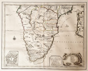
This attractive map is identical to the map, but with Balthazar Lakeman's imprint, that appeared in the posthumous Dutch edition of Peter Kolbe's 1727 book on the Cape of Good Hope Naaukeurige en uitvoerige beschryving van Kaap de Goede Hoop.
The Ottens brothers (Renier & Joshua) commenced their publishing and printing business in 1726, the year that Kolbe died. Kolbe's book first was published in German in 1719, the Dutch edition was published in 1727 by Balthazar Lakeman. Most of the maps in the book were copies of the maps produced for the 1724/1726 work on the Cape by Francois Valentyn, published by Van Braam and Onder der Linden.
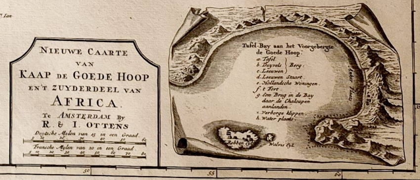
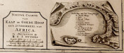
The map of South Africa in Kolbe's German book was Accurate Vorstellung van Capo Bonae Spei in Afrika - different from the map in the Dutch edition, but both books included insets of The Castle and Table Bay - the insets were very similar. Neither Lakeman nor either of the Ottens brothers were cartographers.
The map displays the little knowledge that Europeans had of the interior of South Africa. It displays the location of a number of indigenous peoples and also the borders of indigenous kingdoms. It also shows the western half of Mozambique and names the Gulf of Safala - today's Mozambique Channel.
Amsterdam, Ottens (R.& J.), (circa 1740)
Reference: Norwich's Maps of Africa, Ad Donker 1983, pages 227/8, #163
NB. Shipping with the frame will incur additional courier charges. Please consult us for a quote.
- Size: 560 x 440 mm
- Sold By: Clarke's Africana & Rare Books
- Contact Person: Paul Mills
- Country: South Africa
- Email: [email protected]
- Telephone: 021 794 0600
- Preferred Payment Methods: Visa & Mastercard via PayGate secure links and Bank transfers.
- Trade Associations: ABA - ILAB, SABDA


