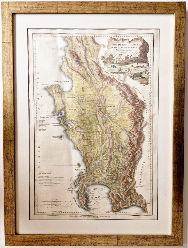

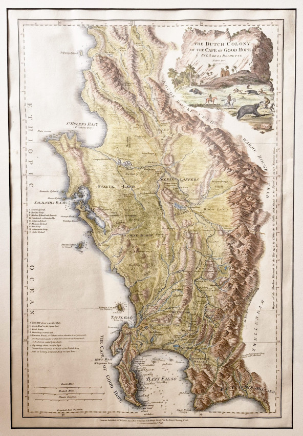
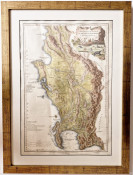
505 x 330 mm, recent hand colouring, fine condition.
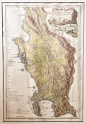
This is one of the most fascinating maps of the Cape of Good Hope published in the same year that the English captured the Cape after the battle of Muizenberg.
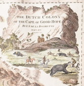
Louis Stanislas De la Rochette (who later adopted his wife's surname, D'Arcy, to his first names) compiled his map in 1782, when it first was published with the same title. He used a number of primary sources, some up-to-date and some that were almost a century old, albeit historically important; the map met England’s need for a more accurate map of the territory in which it had become increasingly interested.
In August 1795 the English captured the Cape from the Dutch V.O.C. after the Battle of Muizenberg. In the same year, this new edition of the map was published with numerous name changes. In their haste to publish the new edition before the end of the year, De la Rochette and William Faden, a leading English cartographer and publisher, forgot to change the title of the map from Dutch Colony to The English Colony of the Cape of Good Hope. On some copies of this 1795 new edition the route marched by the victorious military force is drawn in red by hand – on this copy there is no colouring of the route but it is mentioned in the key.
This map was published again in 1825 and 1838 but James Wylde, the new owner of the publishing business, did not keep up to date with changes in the rapidly expanding colony - they did, however, remove reference to Dutch occupation of the Cape!
NB. Shipping with the frame will incur additional courier charges. Please consult us for a quote.
- Size: 505 x 330 mm
- Sold By: Clarke's Africana & Rare Books
- Contact Person: Paul Mills
- Country: South Africa
- Email: [email protected]
- Telephone: 021 794 0600
- Preferred Payment Methods: Visa & Mastercard via PayGate secure links and Bank transfers.
- Trade Associations: ABA - ILAB, SABDA


