

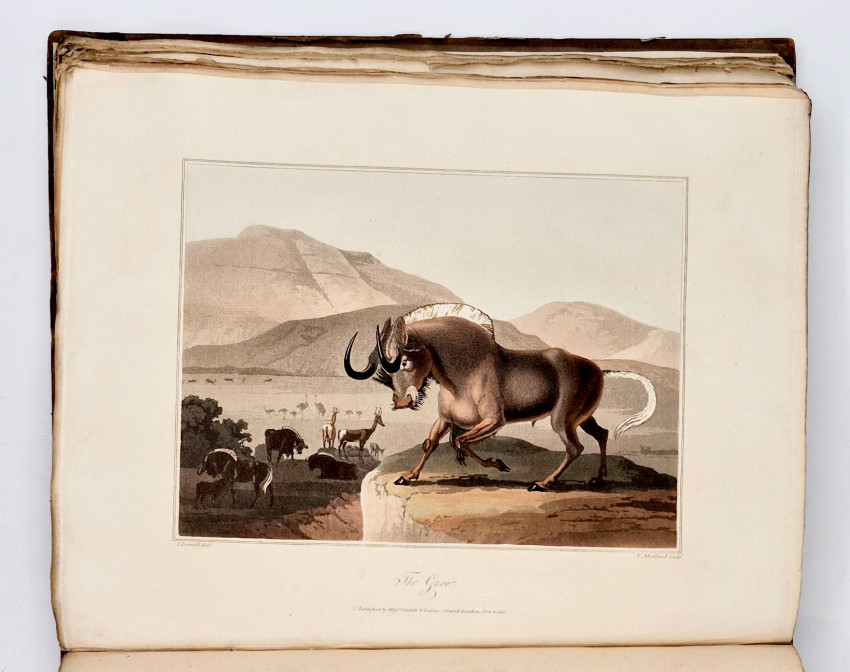


The natural history of such subjects as occurred in the animal, mineral, and vegetable kingdoms; and the geography of the southern extremity of Africa
Comprehending also a topographical and statistical sketch of the Cape Colony: with an inquiry into its importance as a naval and military station; as a commercial emporium; and as a territorial possession
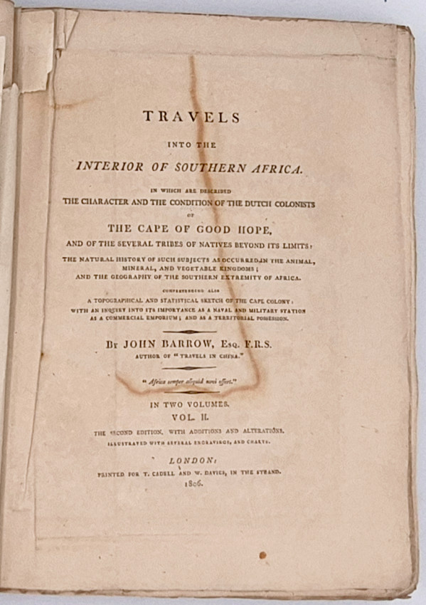
The second edition with additions and alterations illustrated with several engravings and charts
Printed for T. Cadell and W. Davies, in the Strand.
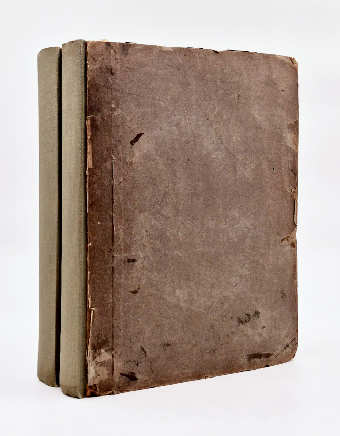
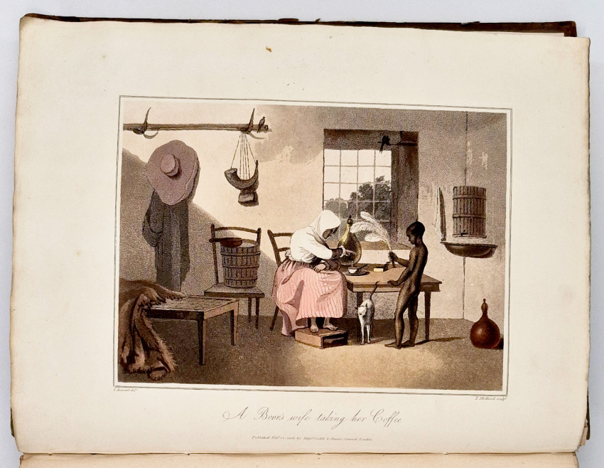
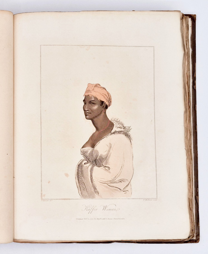
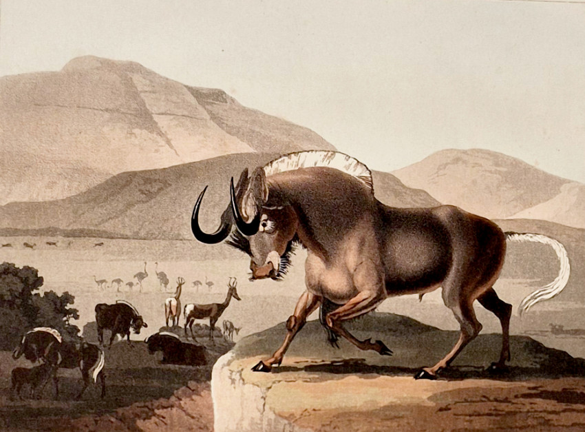
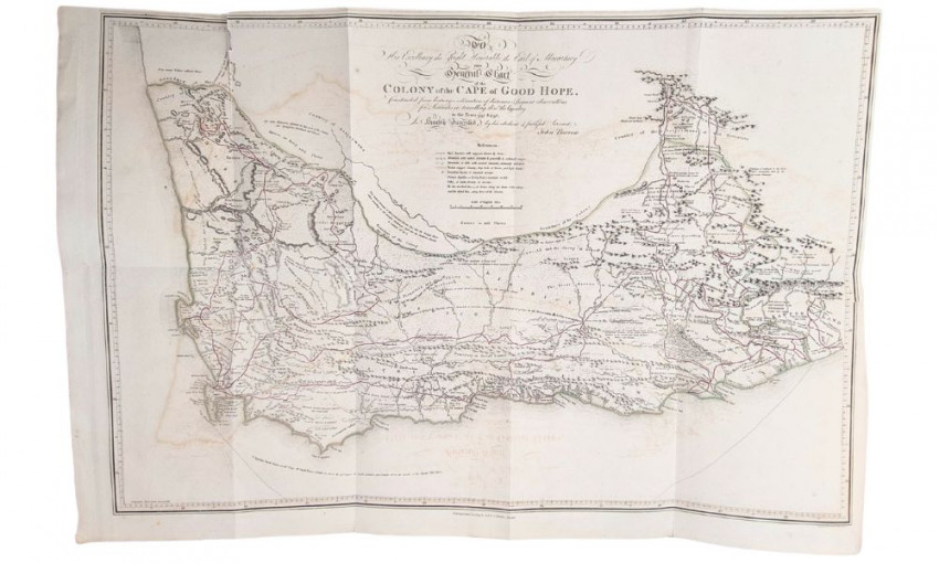
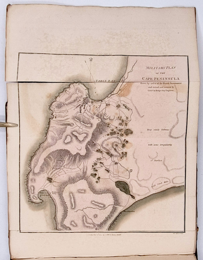
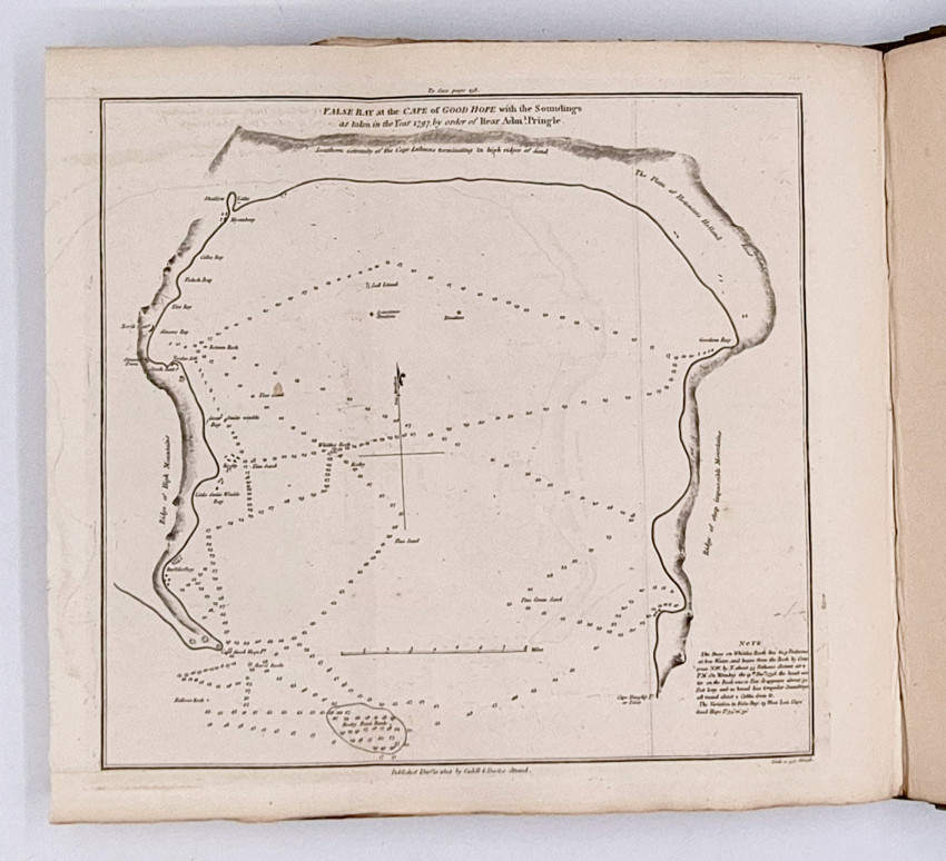
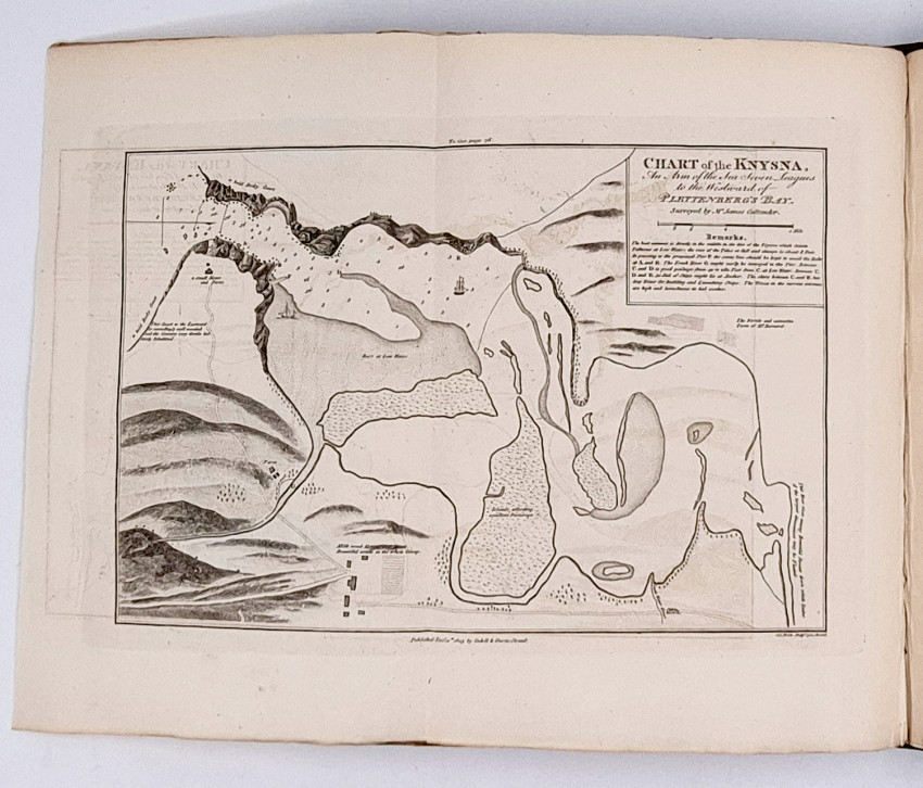
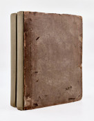
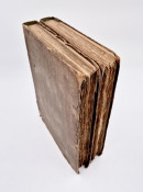
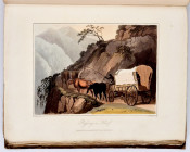
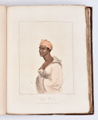
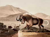
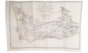
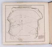
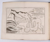
Second (and best) Edition: 2 volumes, I. xvi, 427, II. (iv), 372 pages, 8 hand-coloured aquatint plates by Samuel Daniell, large folding map coloured in outline, 8 folding charts and plans 2 of which are hand-coloured (II. Military Plan of the Cape Peninsula is split at the folds with the leading panel detached. V. Chart of the Coast between Table Bay and Saldanha Bay is splitting at the folds). The plans and charts are unusually bright without the usual offsetting and oxidisation, likewise to contents are crisp and clean, the edges are uncut giving spacious margins. Original grey paper covered boards frayed and worn along the edges, rebacked with grey cloth.
Stevenson (Michael) Samuel Daniell, An Enigmatic Life in Southern Africa and Ceylon, 1799 - 1811, Johannesburg 2025, pages 115/116, 'At Macartney's behest, in mid-1797, Barrow travelled through the interior to provide the British authorities with a first-hand account of the situation with the Boers and indigenous people in the outlying areas. He conducted the first Cape Colony census, mapped the interior as far north as the Orange River, and provided detailed reports on the inhabitants of the regions. In 1798 and 1799, he undertook two shorter journeys to the northern and eastern frontiers. He did so with his customary rigour, and as Macartney wrote: 'I do believe that no person, whether native or foreign, has seen as much of the country, or seen it so well, and to such good purpose, as he has done.....I imagine his travels with be a great acquisition to the world. His map must be particularly valuable, as it is the only one that can at all be depended on.
'Barrow consolidated this research in his magisterial and meticulous, and opinionated, account of the colony, for which Daniell would provide illustrations for the later edition (1806).'
Mendelssohn (Sidney) South African Bibliography volume 1, pages 87/88. 'Barrow was attached to the staff of the Earl of Macartney, one of the governors of the Cape Colony during the first occupation by the British. Barrow accompanied an expedition from Cape Town to Graaff-Reinet, and another to Namaqualand, and he gives an excellent description of the country traversed, particularly with regard to the botany and zoology of these regions. He provides significant evidence of the alleged brutality of the Boers to their slaves and Hottentot servants, and there is a description of the characteristics, habits, and customs of the various native races. The second volume deals with the importance of the country from a military and naval perspective. The plates by Daniell are not present in the first edition.'
- Size: 4to (290 x 230 mm)