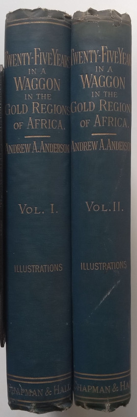


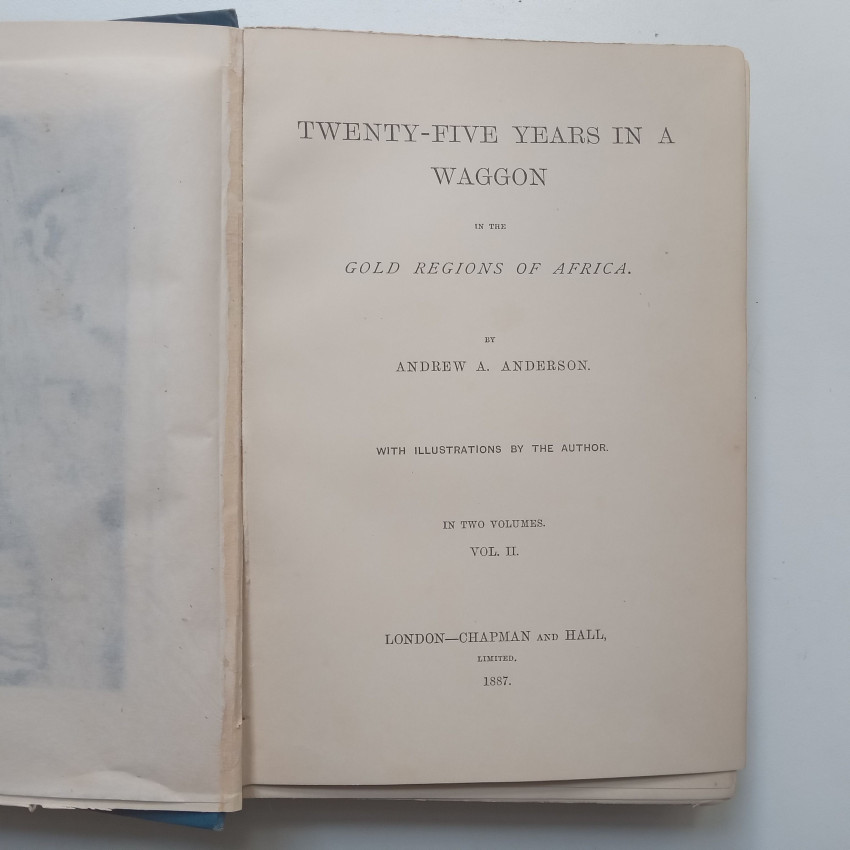


London: Chapman and Hall, 1887
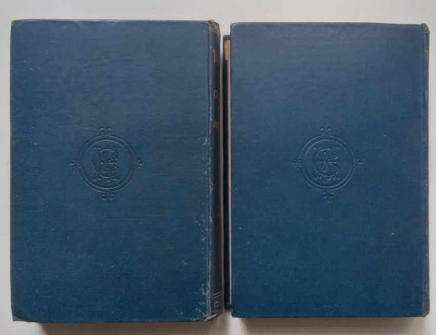
8vo, x, 307pp + vi, 253pp, 40pp publisher’s catalogue. Hardcover bindings with gilt lettering to spines. Frontispiece and 7 plates in vol 1, frontispiece and 5 plates in vol 2, each with facing tissue paper, and all collated and complete.
First edition published in 1887.
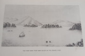
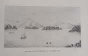
Andrew Arthur Anderson was farming in Natal in 1860 as a young settler of Scottish descent when he decided to explore regions to the north and west of that colony. On his first journey he trekked through the Free State, Transvaal, and Swaziland, returning to Natal towards he end of 1863. This was followed by the compilation of his first "Map of the interior of South Africa" in 1864. He set out again in March 1864, travelling to the junction of the Vaal and Harts rivers, and from there through the Western Transvaal and Botswana to Zimbabwe. He may have visited Cape Town in 1873, when his second "Map of the interior of South Africa" was published there. The map is said to be based on surveys conducted over a period of seven years in the territory between 18º and 27º East longitude and from the Orange and Vaal rivers in the south to the Zambezi River in the north. In 1878 he was again in Zimbabwe, where he joined Major R.H. Buller's Frontier Light Horse and fought with them in the Anglo-Zulu War. He was in Pretoria from 1879 to 1881, resided in England from 1884 to 1888, but returned to South Africa until 1890 when he went to England for good, settling in Cranleigh near Guildford.
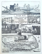
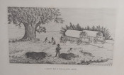
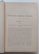
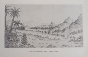
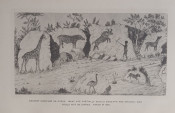
Information about Anderson is confined mainly to what can be gleaned from his writings. In 1884 he published an article titled "Notes on the geography of South Central Africa, in explanation of a new map of the region..." in the Proceedings of the Royal Geographic Society in which he describes the territories covered in his travels. The map published with this account was entitled "The interior of South Africa from latitude 15º to 30º, explored and surveyed by A.A. Anderson". He is described in the paper's title as a civil engineer, probably in recognition of the survey work on which his map was based. The Western portion of the map was soon reissued by Saul Solomon and Co. of Cape Town, while his article and map were also published in The South African Illustrated News in September 1884. Anderson's best known work is his book, Twenty Five Years In A Wagon In The Gold Regions Of Africa, published in two volumes in London in 1887, with a revised edition in one volume under a slightly different title the next year. It contains not only geographical descriptions, but also traveller’s tales and reminiscences. Although not a good artist he made many sketches, on which he wrote long explanatory notes. Some of these illustrate his books and many are now in the Africana Museum, Johannesburg. (https://www.s2a3.org.za/bio/Biograph_final.php?serial=56)
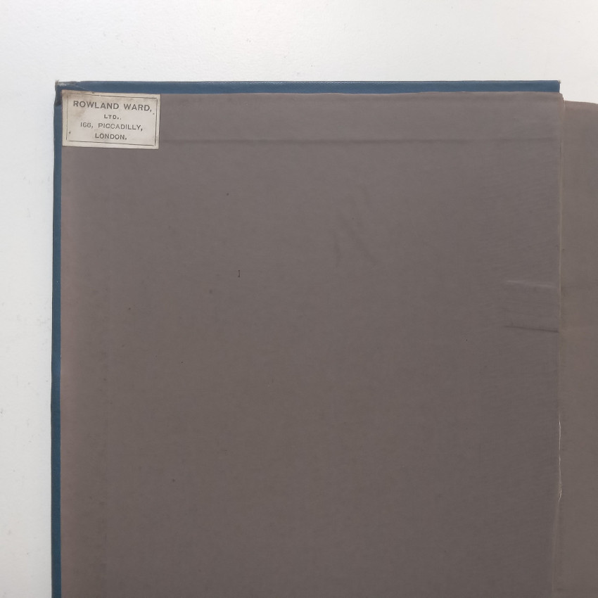
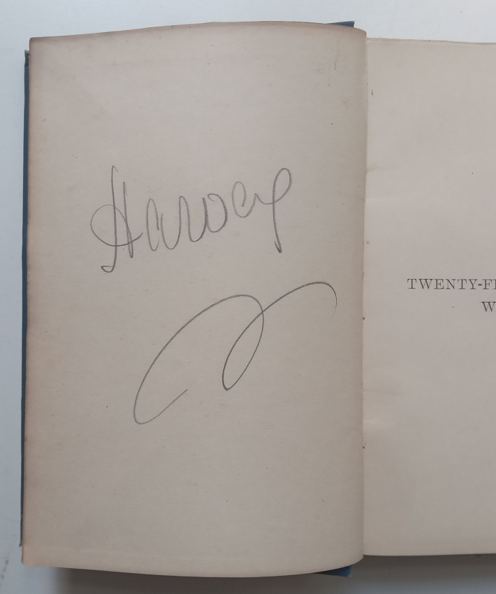
Condition: Good-very good. Small stains and rubbing to boards, light shelfwear to tops and tails of spine, minor bumps to corners of boards of vol 1. Previous seller’s labels on front patedowns, previous owner’s signature in pencil to versos of front endpapers. Minor creases to edges of some pages. Light smudge to full title page of vol 1. Text and plates are clean. Well bound.
- Overall Condition: Good-Very Good
- Size: 8vo