


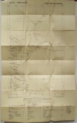
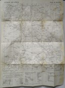
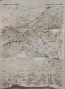
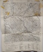
11 individual maps which form part of the series of war maps of German South West Africa. It is an incomplete set. They are all mounted on linen except for Abbabis, which is unmounted. Kubas and Gr. Barmen have water stains on the outer folds, otherwise all in very good condition.
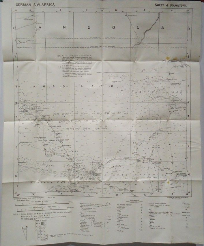
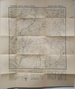
5 Sheet 4 Namutoni
6 Sheet 5 Okawango
7 Sheet 9 Zessfontein
8 Sheet 15 D 6 Abbabis – not mounted on linen
9 Sheet15 F5 Tsaobis
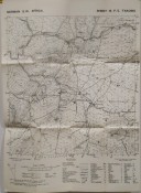
10 Sheet 16 B3 Okasise
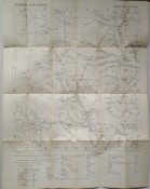
11 Sheet 24 Bethany
12 Sheet26 Rietfontien
13 Sheet 29 Warmbad
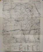
15 Sheet E4 Kubas
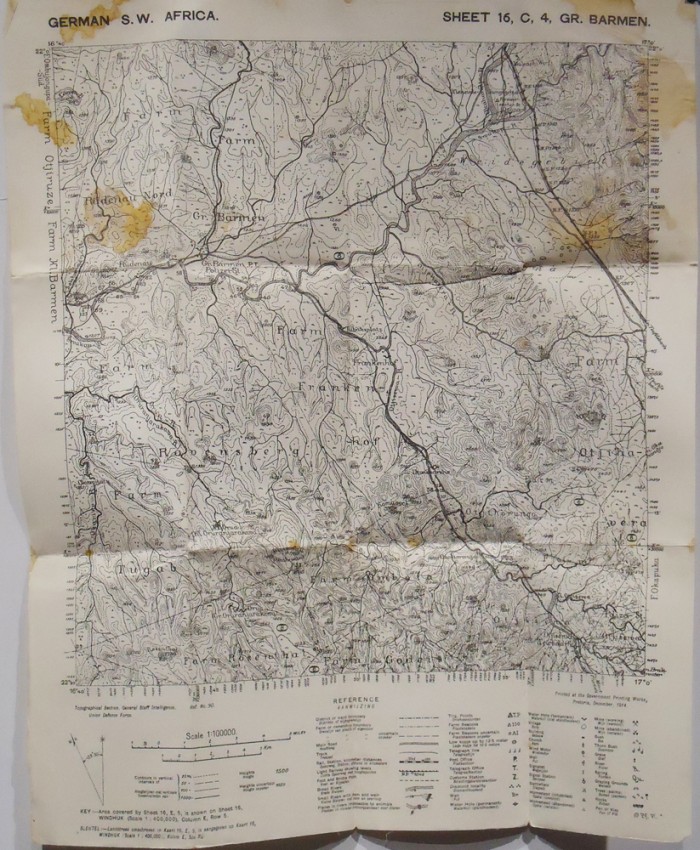
16 Sheet C4 Gr. Barmen
All these maps were compiled with the assistance of the Topographical Section of the Union Defence Force and printed in Pretoria by the Government Printing Works 1914 – 1915.
Jacobs (A.) Topographical mapping support in the South African Military during the 20th century: The Union Defence Force: (UDF) was established in July 1912 and two years later the UDF was subjected to its first campaign, the distant conflict in Europe bringing the invasion of German South West Africa. Although sources regarding this and the subsequent campaigns of the First World War are vague on the mapping support available to the South African forces, a few points may be deduced.
Firstly, for the German South West Africa campaign, General Louis Botha utilised existing lines of communication for the launch of attacks. This campaign was largely conducted according to the old Boer doctrine, with scouts undertaking the reconnaissance and then presenting briefs to their commanders. https://core.ac.uk/download/pdf/37350650.pdf
Printed in Pretoria by the Government Printing Works 1914 - 1915
- Overall Condition: Very Good Copies
- Sold By: Clarke's Africana & Rare Books
- Contact Person: Paul Mills
- Country: South Africa
- Email: [email protected]
- Telephone: 021 794 0600
- Preferred Payment Methods: Visa & Mastercard via PayGate secure links and Bank transfers.
- Trade Associations: ABA - ILAB, SABDA
Similar lots in the current auction View all
Click on an item to view more details and to bid.


