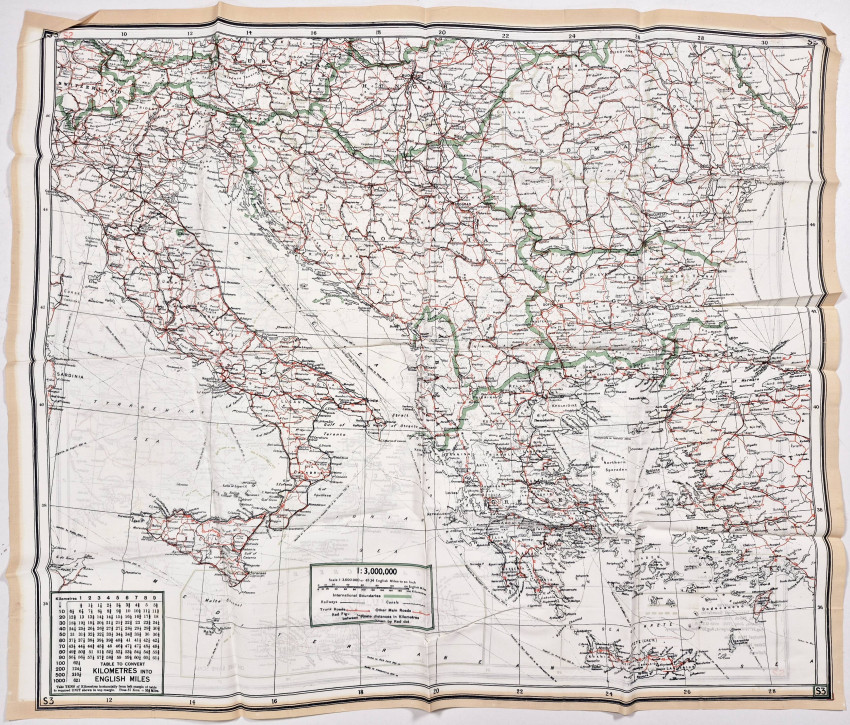
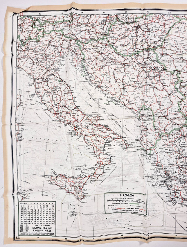
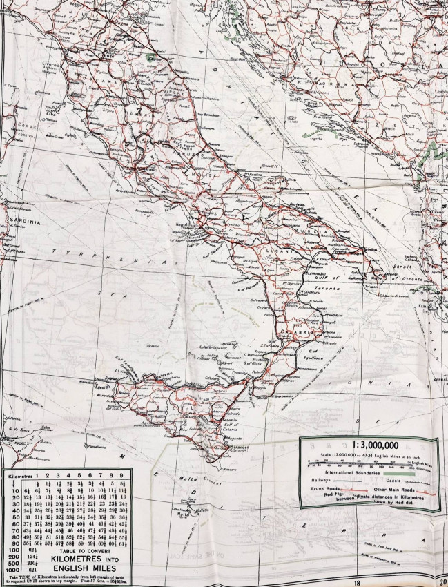
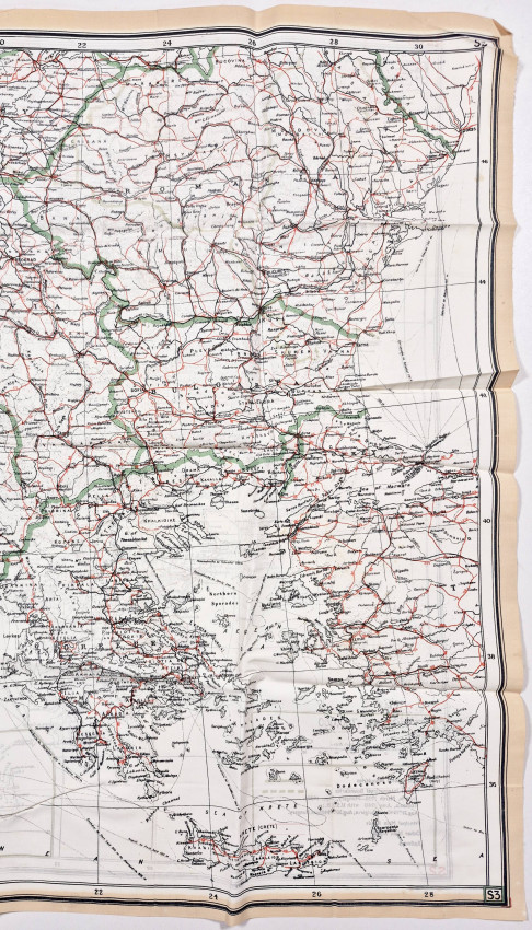
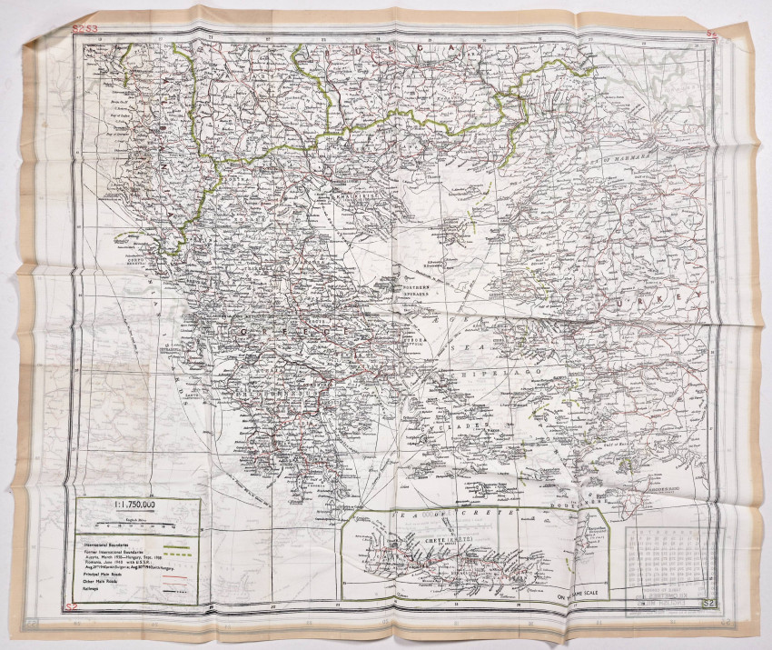
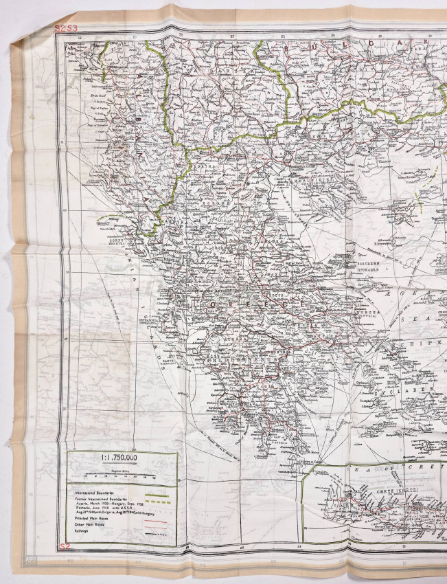
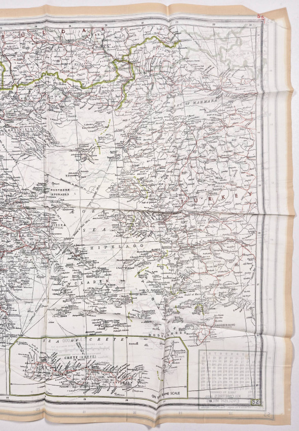
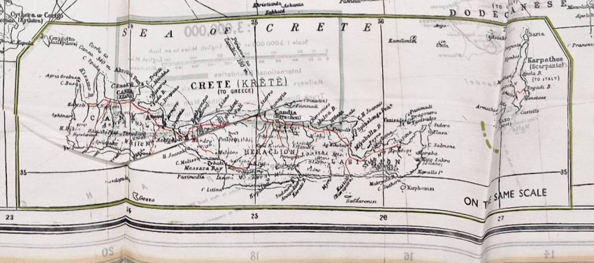
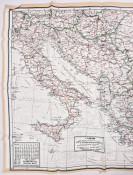
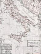
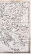
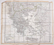
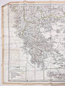
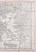
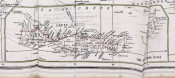
Two-sided, scale of 1:3,000,000, kilometre-to-English miles conversion table in the lower left and a key showing International Boundaries, Railways, Canals, Other Main Roads, and distances between towns, 620 x 530 mm, unevenly folded, in fine unused condition.
These maps, produced on silk, tissue paper, or man-made fabrics such as rayon were designed to aid downed air crews and prisoners of war in escape and evasion. The choice of these printing materials made the maps easy to fold into a very small size for concealment. All aircrew were supplied with such maps in case they were shot down.
Imperial War Museum (https://www.iwm.org.uk/collections/item/object/30089060), 'Christopher Clayton Hutton, Intelligence Officer in MI9, knew the importance of maps for purposes of escape and evasion. He with John Bartholomew & Son, the established firm of map makers, in 1940 who provided maps for Germany, France, Poland, Italy, Austria, Switzerland, Belgium, Holland and all the Balkan countries and also waived the copyright. The maps were then printed on silk, rayon and tissue paper. The tissue paper maps were made from pulp made from mulberry leaves which like the silk maps did not rustle. It could then be folded into a very small space and be concealed in games or a record. MI9 printed these maps from December 1939 until August 1944 when 'D' survey took over printing.
'The S2/S3 series covering Italy, the Balkans, Yugoslavia and Greece was one of the most important escape map series of the war. The Italian campaign (1943–1945) produced thousands of Allied prisoners and downed airmen who needed to evade capture and make their way south through partisan territory. The Balkans (Yugoslavia, Greece) were the theatres of the most extensive Allied Special Operations Executive (SOE) operations anywhere in Europe, with agents, liaison officers, and aircrew constantly moving through this territory. The Greek resistance and Tito's Yugoslav partisans were supplied and supported by Allied aircraft flying from North Africa and later from Italy. Aircraft that were frequently shot down over precisely the areas shown on this map.'
- Size: 620 x 530 mm