Current Bid: $0
Approximately:
Reserve: $40
Estimate: $65
What is a proxy bid? | Learn how to bid
15% buyer's premium on final price
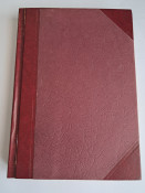
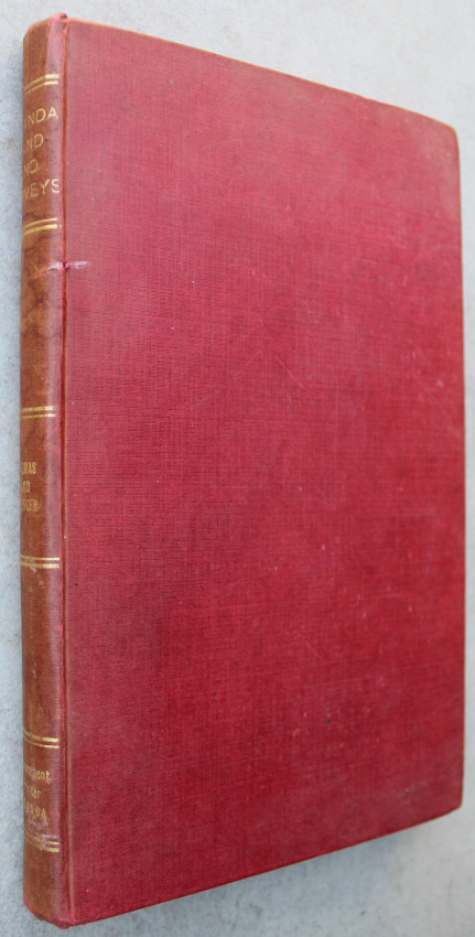
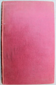
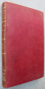
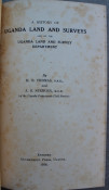
Red cloth covers with the title in golden gilt to the spine.
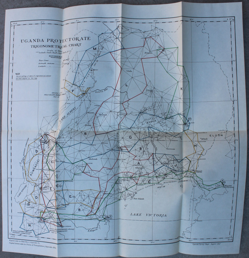
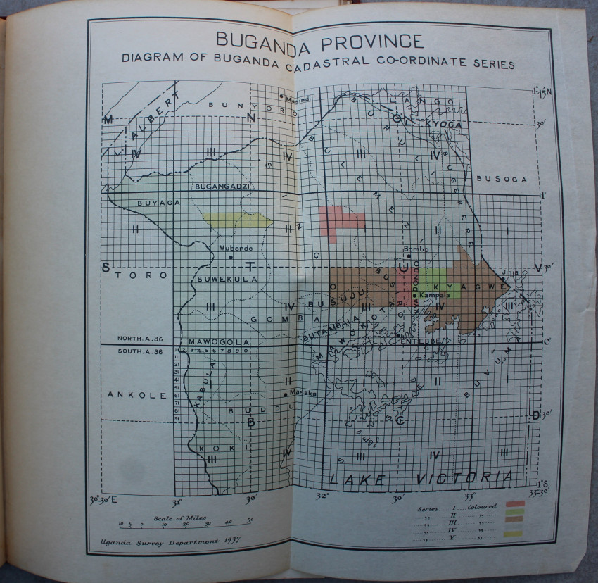
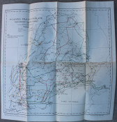
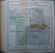
206 pages, the large folding map in the rear pocket. ( Uganda Protectorate Trigonometrical Chart) Another folding map (Diagram of Buganda Cadastral Co-ordinate Series)
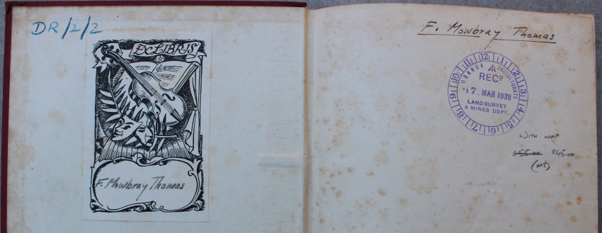
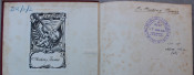
Bookplate of F. Mowbray Thomas on fep. Ink stamp of Land Survey and Mines Department on ffep.
Slight foxing throughout.
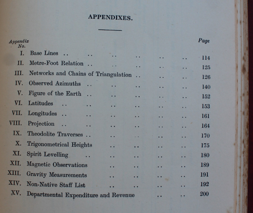
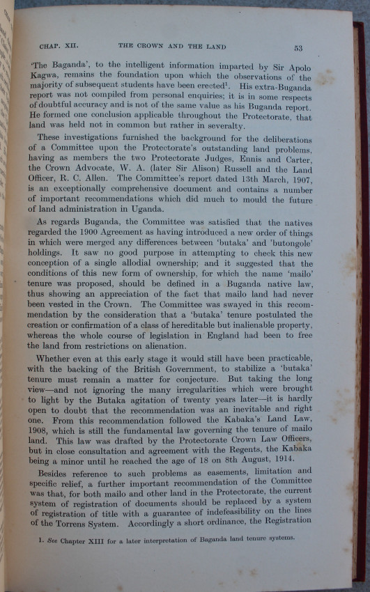
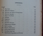
The Anglo-German Boundary and the Survey of Lake Victoria. Uganda railway Extension Survey. Mining. The War - and after. The Crown and the Land. Forty years of Sketch Mapping. .....
- Binding Condition: Good
- Overall Condition: Good
- Size: 16 x 25 cm
- Name: Mantis Books
- Contact Person: Charl Yates
- Country: South Africa
- Email: [email protected]
- Telephone: 0833219905
- Preferred Payment Methods: EFT & Paypal
- Trade Associations: AA Approved