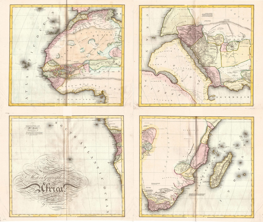
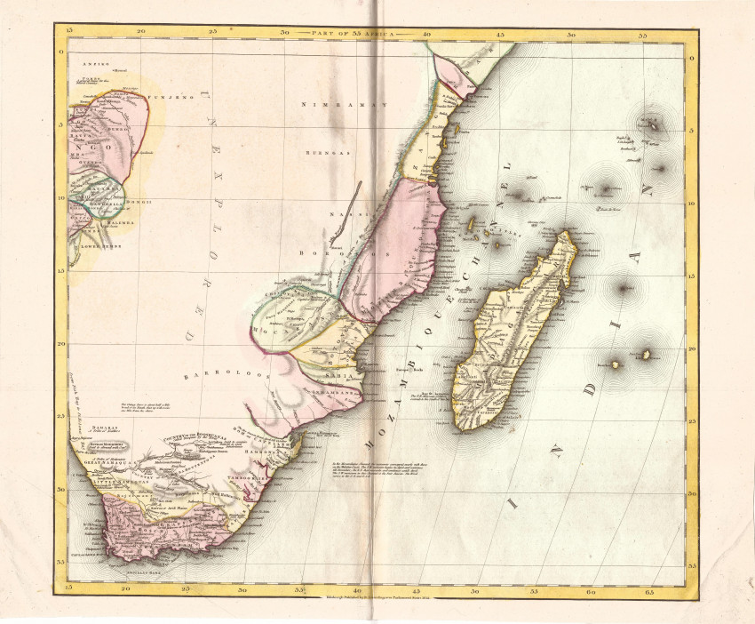
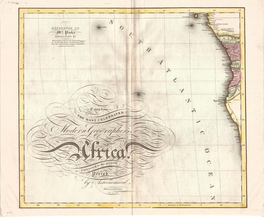
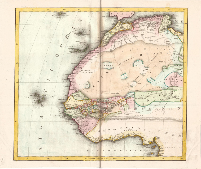
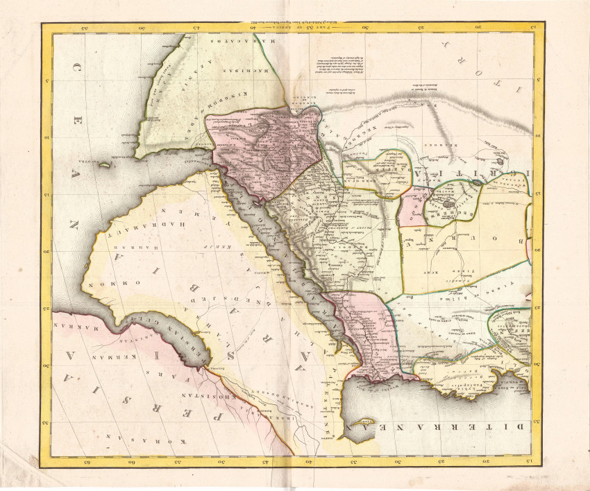
This seems to be the first time the first edition of this beautiful wall map is offered in the market. The attractive map, in original full hand colour, is presented in four sheets. It comes from Daniel Lizars, patriarch of the famous Scottish engravers and publishers. The map is scarce (the Antique Map Price Record lists only three examples sold in the market since 1982 - all the third editions from 1845).
This first edition of the map was included in Daniel Lizars's A New and Elegant general Atlas of the World. His son, David Jnr. also published the map (1826 - 31) as did grandson, William Holme Lizars (in 1845) - in these editions the title was simply Africa.
The parts of Africa well known to Europeans in 1812 are depicted in some detail. The remainder of Africa is vacant, apart from the names of a few indigenous groups. This conservative approach to mapping was a feature of 19th century Scottish cartographers. Based on incomplete information from Portuguese traders ad travellers, Lake Malawi (with a dotted northern extension) is prominent, although Livingstone would 'discover' and explore the lake almost half a century later.
A notable feature of the map is the charting of Mungo Park's route to explore the central Niger River. Park was infamous for his description of the mythical Mountains of Kong that are depicted on this map.
This attractive map has not been joined. The impression is dark and printed on firm paper. The map is in fine condition.
- Overall Condition: Fine
- Size: 51.5cm x 43.3cm (each sheet)
- Sold By: Roger Stewart Antiquarian
- Contact Person: Dr. Roger Stewart
- Country: South Africa
- Email: [email protected]
- Telephone: +27836541081
- Preferred Payment Methods: LOCAL: EFT; INTERNATIONAL: Bank Transfer; Visa and Mastercard via PayFast
- Trade Associations: IMCOS


