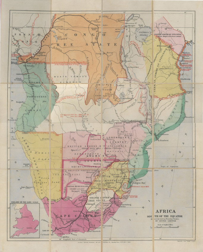
A very rare and historically important 1889 map depicting the Scramble for Southern Africa - from a founding director of the British South African Company.
Map shows colonial names and descriptions of the African territories south of the equator as well as the names of African kingdoms and territories, such as Muata Yamvo's kingdom, Khama's country, Msiri's kingdom and Lobengula's country.
The map is in full colour: Pink is Great Britain, Yellow is German, Green is Portugal, Orange is Belgium and White is French. Map also shows the names of African kingdoms and territories including Muata Yamvo's kingdom, Khama's country, Msiri's kingdom and Lobengula's country. After the 1885 Berlin Conference numerous treaties were negotiated and these led to many of the red border lines on the map, labelled with the name and date of the releant treaty.
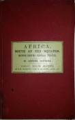
This is the first edtion of this map; another edition of the 1898 map was published in ` in 1893 in Macmillan & Co.'s Statesman's Year Book. The maps was updated in 1895 and 1899. Edward Stanford, the publisher, dissected this 1898 map, laid it on linnen then folded and inserted it between red boards - all in near fine condition.
George Cawston was a London-based stockbroker and barrister who made his fortune by becoming one of the founding directors of the British South Africa Company. Shortly before this map was published, Cawston wrote to the Colonial Office: 'It is the intention of myself in conjunction with others to send a representativeto Matabeleland to negotiate with Lobengula for a treaty for trading, mining, and general purposes.' (See Keltie, Lot #388)
- Size: 41.8 x 50.5cm
- Sold By: Roger Stewart Antiquarian
- Contact Person: Dr. Roger Stewart
- Country: South Africa
- Email: [email protected]
- Telephone: +27836541081
- Preferred Payment Methods: LOCAL: EFT; INTERNATIONAL: Bank Transfer; Visa and Mastercard via PayFast
- Trade Associations: IMCOS


